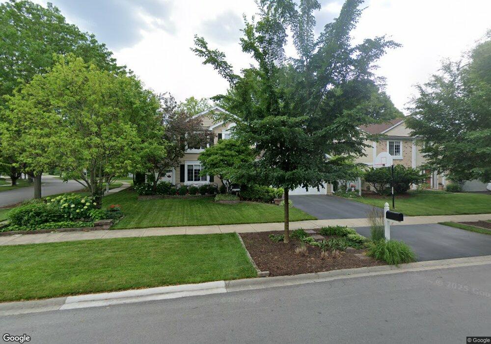
472 Bourbon Ln Naperville, IL 60565
Meadow Glens NeighborhoodEstimated Value: $480,000 - $582,000
Studio
1
Bath
2,064
Sq Ft
$261/Sq Ft
Est. Value
About This Home
This home is located at 472 Bourbon Ln, Naperville, IL 60565 and is currently estimated at $538,484, approximately $260 per square foot. 472 Bourbon Ln is a home located in DuPage County with nearby schools including Scott Elementary School, Madison Jr High School, and Naperville Central High School.
Ownership History
Date
Name
Owned For
Owner Type
Purchase Details
Closed on
Dec 17, 1998
Sold by
Gilbert Paul
Bought by
Tripiedi Matthew L and Trippiedi Tiffany L
Current Estimated Value
Home Financials for this Owner
Home Financials are based on the most recent Mortgage that was taken out on this home.
Original Mortgage
$145,600
Outstanding Balance
$33,016
Interest Rate
6.76%
Estimated Equity
$505,468
Purchase Details
Closed on
Jan 26, 1996
Sold by
Gilbert Janis R
Bought by
Gilbert Paul
Home Financials for this Owner
Home Financials are based on the most recent Mortgage that was taken out on this home.
Original Mortgage
$155,700
Interest Rate
6.62%
Create a Home Valuation Report for This Property
The Home Valuation Report is an in-depth analysis detailing your home's value as well as a comparison with similar homes in the area
Home Values in the Area
Average Home Value in this Area
Purchase History
| Date | Buyer | Sale Price | Title Company |
|---|---|---|---|
| Tripiedi Matthew L | $182,000 | -- | |
| Gilbert Paul | -- | -- |
Source: Public Records
Mortgage History
| Date | Status | Borrower | Loan Amount |
|---|---|---|---|
| Open | Tripiedi Matthew L | $145,600 | |
| Previous Owner | Gilbert Paul | $155,700 |
Source: Public Records
Tax History
| Year | Tax Paid | Tax Assessment Tax Assessment Total Assessment is a certain percentage of the fair market value that is determined by local assessors to be the total taxable value of land and additions on the property. | Land | Improvement |
|---|---|---|---|---|
| 2024 | $9,546 | $163,818 | $69,182 | $94,636 |
| 2023 | $9,195 | $149,510 | $63,140 | $86,370 |
| 2022 | $8,408 | $135,920 | $57,400 | $78,520 |
| 2021 | $8,099 | $130,780 | $55,230 | $75,550 |
| 2020 | $7,926 | $128,430 | $54,240 | $74,190 |
| 2019 | $7,693 | $122,870 | $51,890 | $70,980 |
| 2018 | $7,536 | $120,460 | $50,870 | $69,590 |
| 2017 | $7,382 | $116,390 | $49,150 | $67,240 |
| 2016 | $7,232 | $112,180 | $47,370 | $64,810 |
| 2015 | $7,183 | $105,640 | $44,610 | $61,030 |
| 2014 | $6,902 | $98,730 | $41,690 | $57,040 |
| 2013 | $6,799 | $98,970 | $41,790 | $57,180 |
Source: Public Records
Map
Nearby Homes
- 517 Sheffield Rd
- 621 Bourbon Ct
- 627 Bourbon Ct
- 1715 Amelia Ct
- 425 Carriage Hill Rd
- 1712 Coach Dr
- 264 E Bailey Rd Unit C
- 228 E Bailey Rd Unit F
- 144 E Bailey Rd Unit D
- 138 E Bailey Rd Unit M
- 321 Carriage Hill Rd
- 124 E Bailey Rd Unit E
- 307 Leeds Ct
- 1754 S Washington St Unit 1754
- 1751 S Washington St Unit 1
- 1612 Indian Trail Dr
- 1546 Treeline Ct Unit 405
- 510 Harlowe Ln Unit 2001C
- 1123 Mill Race Ln
- 805 Potomac Ave
- 468 Bourbon Ln
- 1803 Rampart Ct
- 7500 and Green Rd
- 1807 Rampart Ct
- 464 Bourbon Ln
- 503 Ursuline Ave
- 507 Ursuline Ave
- 467 Bourbon Ln
- 471 Bourbon Ln
- 1811 Rampart Ct
- 460 Bourbon Ln
- 503 Bourbon Ln
- 511 Ursuline Ave
- 508 Bourbon Ln
- 459 Bourbon Ln
- 1815 Rampart Ct
- 507 Bourbon Ln
- 1804 Rampart Ct
- 456 Bourbon Ln
- 1808 Rampart Ct
Your Personal Tour Guide
Ask me questions while you tour the home.