472 E 275 N Brian Head, UT 84719
Estimated Value: $118,173 - $278,000
Studio
--
Bath
--
Sq Ft
16,117
Sq Ft Lot
About This Home
This home is located at 472 E 275 N, Brian Head, UT 84719 and is currently estimated at $198,087. 472 E 275 N is a home located in Iron County with nearby schools including Parowan School, Parowan High School, and Cedar City High School.
Ownership History
Date
Name
Owned For
Owner Type
Purchase Details
Closed on
Nov 16, 2022
Sold by
Ragan Ronald and Ragan Kim
Bought by
C And M Holdings Llc
Current Estimated Value
Purchase Details
Closed on
Nov 15, 2022
Sold by
Randall C And Tamara D Howard Revocable
Bought by
Ragan Ronald and Ragan Kim
Purchase Details
Closed on
Sep 28, 2006
Sold by
Southwick Kaori
Bought by
Howard Randall C and Howard Tamara W
Purchase Details
Closed on
Sep 26, 2005
Sold by
Sloan Dustin H and Sloan Melissa L
Bought by
Southwick Kaori
Create a Home Valuation Report for This Property
The Home Valuation Report is an in-depth analysis detailing your home's value as well as a comparison with similar homes in the area
Home Values in the Area
Average Home Value in this Area
Purchase History
| Date | Buyer | Sale Price | Title Company |
|---|---|---|---|
| C And M Holdings Llc | -- | Cedar Land Title | |
| Ragan Ronald | -- | Cedar Land Title | |
| Howard Randall C | -- | -- | |
| Southwick Kaori | -- | -- |
Source: Public Records
Tax History
| Year | Tax Paid | Tax Assessment Tax Assessment Total Assessment is a certain percentage of the fair market value that is determined by local assessors to be the total taxable value of land and additions on the property. | Land | Improvement |
|---|---|---|---|---|
| 2025 | $423 | $53,666 | $51,750 | $1,916 |
| 2023 | $423 | $54,760 | $49,160 | $5,600 |
| 2022 | $480 | $48,350 | $42,750 | $5,600 |
| 2021 | $211 | $21,275 | $15,675 | $5,600 |
| 2020 | $232 | $21,275 | $15,675 | $5,600 |
| 2019 | $250 | $21,275 | $15,675 | $5,600 |
| 2018 | $223 | $18,350 | $12,750 | $5,600 |
| 2017 | $252 | $20,600 | $15,000 | $5,600 |
| 2016 | $268 | $20,600 | $15,000 | $5,600 |
| 2015 | $218 | $15,600 | $0 | $0 |
| 2014 | $286 | $18,600 | $0 | $0 |
Source: Public Records
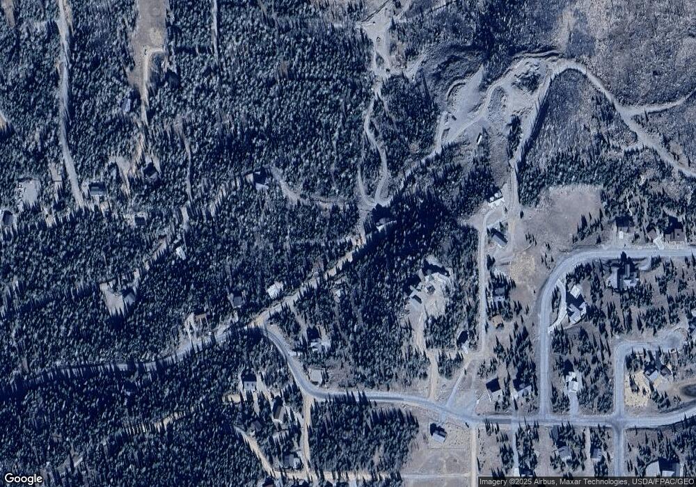
Map
Nearby Homes
- 630 Park-U-pine Walk
- 752 E Plateau Place
- 674 Park-U-pine Walk
- 0 Dr
- 349 Scenic Dr
- 722 E Timbercrest Unit Lot 43
- 370 Arrowleaf Dr
- 545 Park-U-pine Walk
- 926 Autumn Dr
- 1015 Autumn Dr
- 235 E Snowman Dr
- 235 E Snowman Dr Unit 1
- 0 Ridge Top Dr Unit CBMHS unit B blk A l
- 922 Kodiak Dr
- 0 Falcon Ct Unit CBME unit c lots 68
- 211 E 475 N
- 391 N Falcon
- 380 N Forest Dr
- 79 N Forest Dr
- 1025 E Ridge Top Dr Unit CBMHS unit B blk A l
- 609 Shady Dell Dr
- 578 E 275 N Unit (Lot 9)
- 578 E 275 N
- 609 N 450 E Unit 1
- 609 N 450 E
- Lot 13 Shady Dell Dr
- Lot 7 Shady Dell Dr
- Lot 2 Shady Dell Dr
- 580 Shady Dell Dr
- 533 E 275 N
- 0 17 Ac Brianhead Development
- 0 Shady Dell Dr Unit 17-187473
- 0 Shady Dell Dr Unit 17-187472
- 0 Shady Dell Dr Unit LOT 10 79982
- 0 Shady Dell Dr Unit LOT 7 79935
- 0 Shady Dell Dr Unit LOT 8
- 275 N Blue Jay View
- 205 N Sunrise Cir
- 247 N Sunrise Cir
- 205 N Sunrise Cir Unit A
Your Personal Tour Guide
Ask me questions while you tour the home.