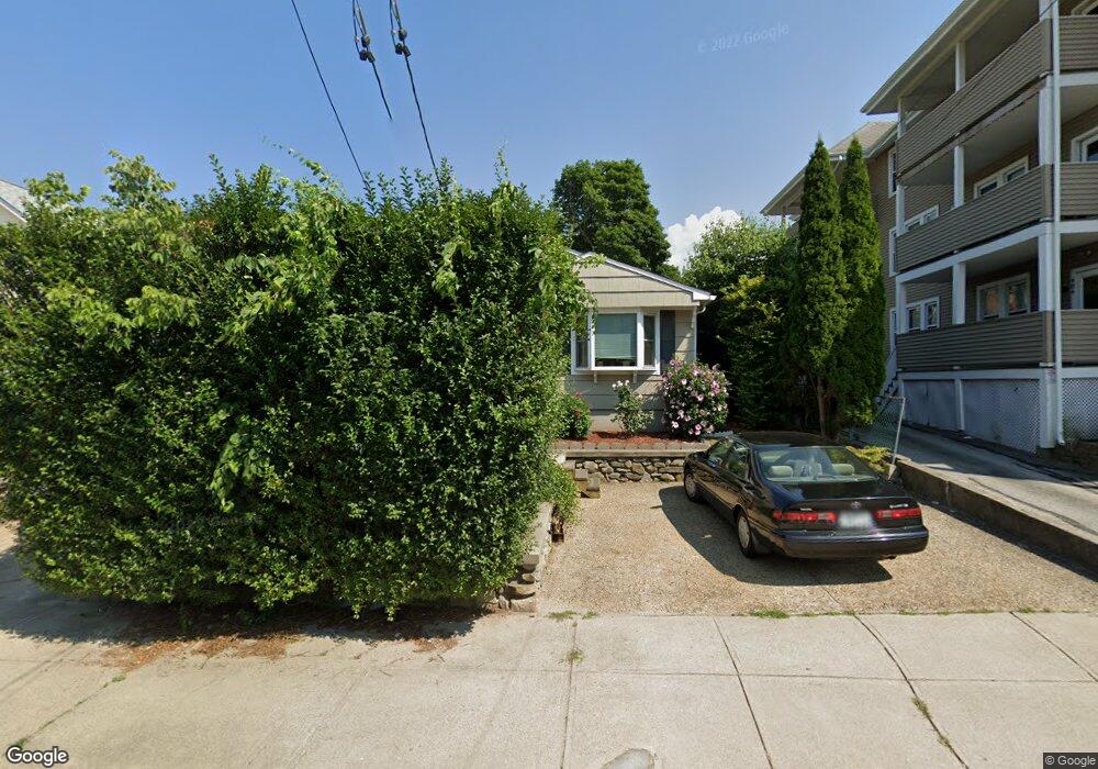
472 Grove St Woonsocket, RI 02895
Bernon District NeighborhoodEstimated Value: $311,610 - $363,000
3
Beds
1
Bath
1,344
Sq Ft
$253/Sq Ft
Est. Value
About This Home
This home is located at 472 Grove St, Woonsocket, RI 02895 and is currently estimated at $339,903, approximately $252 per square foot. 472 Grove St is a home located in Providence County with nearby schools including Woonsocket High School, Founders Academy, and Beacon Charter School.
Ownership History
Date
Name
Owned For
Owner Type
Purchase Details
Closed on
Jul 26, 2021
Sold by
Papa Kevin E
Bought by
Papa Kevin E and Papa Janet E
Current Estimated Value
Purchase Details
Closed on
Dec 12, 2003
Sold by
Disautell Dwayne E and Disautell Debra L
Bought by
Papa Kevin E and Papa Rita
Purchase Details
Closed on
Oct 2, 1996
Sold by
Fleurant Douglas J and Fleurant Janet
Bought by
Disautell Dwayne E and Disautell Carol
Create a Home Valuation Report for This Property
The Home Valuation Report is an in-depth analysis detailing your home's value as well as a comparison with similar homes in the area
Home Values in the Area
Average Home Value in this Area
Purchase History
| Date | Buyer | Sale Price | Title Company |
|---|---|---|---|
| Papa Kevin E | -- | None Available | |
| Papa Kevin E | -- | None Available | |
| Papa Kevin E | -- | None Available | |
| Papa Kevin E | $173,500 | -- | |
| Disautell Dwayne E | $93,000 | -- | |
| Papa Kevin E | $173,500 | -- | |
| Disautell Dwayne E | $93,000 | -- |
Source: Public Records
Mortgage History
| Date | Status | Borrower | Loan Amount |
|---|---|---|---|
| Previous Owner | Disautell Dwayne E | $144,332 | |
| Previous Owner | Disautell Dwayne E | $35,000 | |
| Previous Owner | Disautell Dwayne E | $168,997 |
Source: Public Records
Tax History Compared to Growth
Tax History
| Year | Tax Paid | Tax Assessment Tax Assessment Total Assessment is a certain percentage of the fair market value that is determined by local assessors to be the total taxable value of land and additions on the property. | Land | Improvement |
|---|---|---|---|---|
| 2025 | $3,320 | $295,600 | $105,500 | $190,100 |
| 2024 | $3,090 | $212,500 | $93,600 | $118,900 |
| 2023 | $2,971 | $212,500 | $93,600 | $118,900 |
| 2022 | $2,971 | $212,500 | $93,600 | $118,900 |
| 2021 | $2,974 | $125,200 | $57,900 | $67,300 |
| 2020 | $3,005 | $125,200 | $57,900 | $67,300 |
| 2018 | $3,015 | $125,200 | $57,900 | $67,300 |
| 2017 | $3,287 | $109,200 | $46,100 | $63,100 |
| 2016 | $3,477 | $109,200 | $46,100 | $63,100 |
| 2015 | $3,995 | $109,200 | $46,100 | $63,100 |
| 2014 | $3,928 | $109,300 | $50,600 | $58,700 |
Source: Public Records
Map
Nearby Homes
- 529 Park Ave
- 219 Crawford St
- 379 Front St
- 233 Grove St
- 122 Grand St
- 25 Jillson Ave
- 17 Wilson Ave
- 24 Paradis Ave
- 216 Maple St
- 0 Park Ave
- 102 Willow St
- 0 Irving Lot 191 Ave Unit 1383135
- 0 Irving Lot 192 Ave Unit 1383138
- 148 Bernon St Unit 15
- 148 Bernon St Unit 26
- 148 Bernon St Unit 19
- 74 Maple St
- 0 Irving Lot 206 Ave Unit 1397321
- 304 Getchell Ave
- 35 Greene St