Estimated Value: $172,000 - $196,000
3
Beds
3
Baths
1,248
Sq Ft
$144/Sq Ft
Est. Value
About This Home
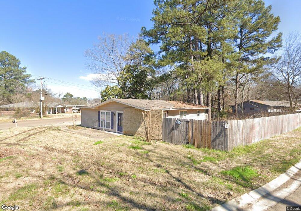
This home is located at 472 Pemberton Dr, Pearl, MS 39208 and is currently estimated at $179,814, approximately $144 per square foot. 472 Pemberton Dr is a home located in Rankin County with nearby schools including Pearl Lower Elementary School, Pearl Upper School, and Northside Elementary School.
Ownership History
Date
Name
Owned For
Owner Type
Purchase Details
Closed on
Jun 28, 2018
Sold by
Rex Residential Property
Bought by
Rex Residential Property
Current Estimated Value
Purchase Details
Closed on
Sep 2, 2009
Sold by
Chad A Chad A
Bought by
Glenn John Martin and Glenn Misty Dawn
Home Financials for this Owner
Home Financials are based on the most recent Mortgage that was taken out on this home.
Original Mortgage
$97,697
Interest Rate
5.15%
Mortgage Type
FHA
Create a Home Valuation Report for This Property
The Home Valuation Report is an in-depth analysis detailing your home's value as well as a comparison with similar homes in the area
Home Values in the Area
Average Home Value in this Area
Purchase History
| Date | Buyer | Sale Price | Title Company |
|---|---|---|---|
| Rex Residential Property | -- | -- | |
| Glenn John Martin | -- | -- |
Source: Public Records
Mortgage History
| Date | Status | Borrower | Loan Amount |
|---|---|---|---|
| Previous Owner | Glenn John Martin | $97,697 | |
| Closed | Rex Residential Property | $0 |
Source: Public Records
Tax History
| Year | Tax Paid | Tax Assessment Tax Assessment Total Assessment is a certain percentage of the fair market value that is determined by local assessors to be the total taxable value of land and additions on the property. | Land | Improvement |
|---|---|---|---|---|
| 2024 | $1,617 | $12,687 | $0 | $0 |
| 2023 | $1,413 | $11,045 | $0 | $0 |
| 2022 | $1,397 | $11,045 | $0 | $0 |
| 2021 | $1,397 | $11,045 | $0 | $0 |
| 2020 | $1,397 | $11,045 | $0 | $0 |
| 2019 | $1,289 | $10,046 | $0 | $0 |
| 2018 | $1,287 | $10,046 | $0 | $0 |
| 2017 | $588 | $6,697 | $0 | $0 |
| 2016 | $589 | $6,701 | $0 | $0 |
| 2015 | $589 | $6,701 | $0 | $0 |
| 2014 | $589 | $6,701 | $0 | $0 |
| 2013 | $575 | $7,019 | $0 | $0 |
Source: Public Records
Map
Nearby Homes
- 119 Hill Cir
- 118 Hill Cir
- 256 Bruin Ave
- 251 Maxine Dr
- 250 Maxine Cir
- 225 Maxine Dr
- 244 Jeffries Dr
- 230 Jeffries Dr
- 524 Sardis St
- 469 Robert Michael Dr
- 191 Chotard Ave
- 2723 Sycamore Cove N
- 180 Pemberton Dr
- 356 Saint Paul St
- 302 Saint Paul St
- 150 Pemberton Dr
- 143 Pemberton Dr
- 2607 Jennifer Dr
- 2471 Napoleon Ave
- 443 Tina Ln
- 281 Bermuda Dr
- 270 Bermuda Dr
- 275 Bermuda Dr
- 463 Pemberton Dr
- 502 Pemberton Dr
- 240 W Lisa Dr
- 466 Pemberton Dr
- 503 Pemberton Dr
- 269 Bermuda Dr
- 260 Bermuda Dr
- 508 Pemberton Dr
- 460 Pemberton Dr
- 509 Pemberton Dr
- 263 Bermuda Dr
- 233 W Lisa Dr
- 454 Pemberton Dr
- 3414 Lanell Ln
- 514 Pemberton Dr
- 3426 Lanell Ln
- 241 Bermuda Dr
Your Personal Tour Guide
Ask me questions while you tour the home.