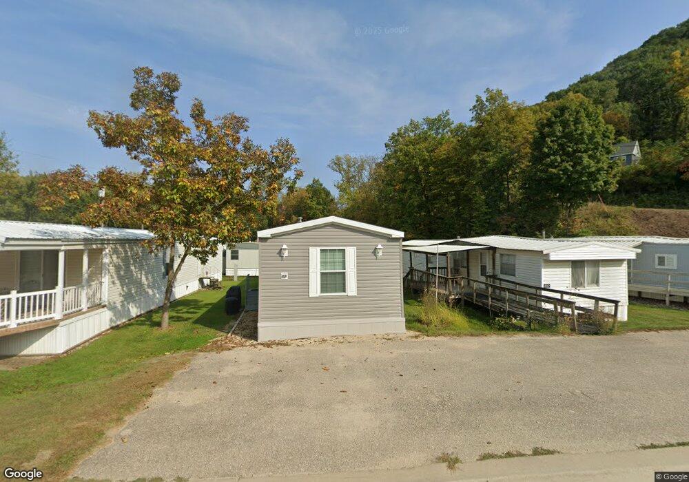
472 S 4th St Lansing, IA 52151
Estimated Value: $70,106 - $151,000
2
Beds
1
Bath
672
Sq Ft
$165/Sq Ft
Est. Value
About This Home
This home is located at 472 S 4th St, Lansing, IA 52151 and is currently estimated at $110,553, approximately $164 per square foot. 472 S 4th St is a home with nearby schools including New Albin Elementary School, Lansing Middle School, and Kee High School.
Ownership History
Date
Name
Owned For
Owner Type
Purchase Details
Closed on
Feb 4, 2025
Sold by
Keune Brodie
Bought by
Miller Randal J and Miller Denise K
Current Estimated Value
Purchase Details
Closed on
Jul 14, 2023
Sold by
Brickman Eticia M and Brickman Edgar L
Bought by
Keune Brodie
Purchase Details
Closed on
Aug 30, 2019
Sold by
Gentes Nicole A Winke
Bought by
Brickman Edgar L and Brickman Eticia M
Purchase Details
Closed on
Sep 14, 2017
Sold by
Brickman Fawn and Brickman Edgar L
Bought by
Loban Joshua S and Loban Jessica A
Purchase Details
Closed on
Aug 24, 2009
Sold by
Christoffer Mary Ellen
Bought by
Decker Mark A
Create a Home Valuation Report for This Property
The Home Valuation Report is an in-depth analysis detailing your home's value as well as a comparison with similar homes in the area
Home Values in the Area
Average Home Value in this Area
Purchase History
| Date | Buyer | Sale Price | Title Company |
|---|---|---|---|
| Miller Randal J | $17,000 | None Listed On Document | |
| Keune Brodie | -- | None Listed On Document | |
| Brickman Edgar L | $12,500 | None Available | |
| Loban Joshua S | -- | None Available | |
| Decker Mark A | $5,500 | None Available |
Source: Public Records
Tax History Compared to Growth
Tax History
| Year | Tax Paid | Tax Assessment Tax Assessment Total Assessment is a certain percentage of the fair market value that is determined by local assessors to be the total taxable value of land and additions on the property. | Land | Improvement |
|---|---|---|---|---|
| 2025 | $78 | $8,200 | $8,200 | $0 |
| 2024 | $78 | $4,400 | $4,400 | $0 |
| 2023 | $22 | $4,400 | $4,400 | $0 |
| 2022 | $22 | $4,400 | $4,400 | $0 |
| 2021 | $12 | $4,400 | $4,400 | $0 |
| 2020 | $12 | $12,400 | $4,400 | $8,000 |
| 2019 | $256 | $11,600 | $0 | $0 |
| 2018 | $252 | $11,600 | $0 | $0 |
| 2017 | $252 | $10,900 | $0 | $0 |
| 2016 | $222 | $10,900 | $0 | $0 |
| 2015 | $222 | $10,900 | $0 | $0 |
| 2014 | $278 | $14,500 | $0 | $0 |
Source: Public Records
Map
Nearby Homes
- Lot 4 Majestic Heights Ln
- 197 Main St
- 371 Diagonal St
- 100 N 2nd St Unit A
- 320 Diagonal St
- 73 Shaw St
- 370 Knolls St
- 1930 Hideaway Hills Ln Unit 29
- 1381 N 2nd St
- 2183 Waterview Ln
- 1906 Blue Heron Ln
- 1886 Great River Rd
- 65567 Grand View Dr
- 1862 Village Creek Dr
- 11215 Midway Ct
- 11345 Grand View Dr
- 65566 Desoto Ridge Dr
- 0 Desoto Bluffs Dr Unit 1936123
- 65930 Desoto Bluffs Dr
- 65416 Desoto Bluffs Dr