472 Shepherds Ridge Morganton, GA 30560
Estimated Value: $626,760 - $834,000
Studio
--
Bath
1,936
Sq Ft
$371/Sq Ft
Est. Value
About This Home
This home is located at 472 Shepherds Ridge, Morganton, GA 30560 and is currently estimated at $717,940, approximately $370 per square foot. 472 Shepherds Ridge is a home with nearby schools including Fannin County High School.
Ownership History
Date
Name
Owned For
Owner Type
Purchase Details
Closed on
Jan 25, 2016
Sold by
Prouse Susan
Bought by
Vaughan Scott and Vaughan Laura
Current Estimated Value
Purchase Details
Closed on
Mar 14, 2011
Sold by
Maduca Gerard R
Bought by
Vaughan Scott and Vaughan Laura
Purchase Details
Closed on
Dec 9, 2008
Sold by
Evans David H
Bought by
Maduca Gerard
Purchase Details
Closed on
Sep 20, 2002
Sold by
New Creation Land Developers Inc
Bought by
Evans David H
Create a Home Valuation Report for This Property
The Home Valuation Report is an in-depth analysis detailing your home's value as well as a comparison with similar homes in the area
Home Values in the Area
Average Home Value in this Area
Purchase History
| Date | Buyer | Sale Price | Title Company |
|---|---|---|---|
| Vaughan Scott | -- | -- | |
| Vaughan Scott | $24,000 | -- | |
| Maduca Gerard | $92,000 | -- | |
| Evans David H | $57,900 | -- |
Source: Public Records
Tax History
| Year | Tax Paid | Tax Assessment Tax Assessment Total Assessment is a certain percentage of the fair market value that is determined by local assessors to be the total taxable value of land and additions on the property. | Land | Improvement |
|---|---|---|---|---|
| 2025 | $1,752 | $216,096 | $23,000 | $193,096 |
| 2024 | $18 | $218,217 | $23,000 | $195,217 |
| 2023 | $2,342 | $229,710 | $23,000 | $206,710 |
| 2022 | $2,787 | $273,433 | $23,000 | $250,433 |
| 2021 | $1,845 | $131,564 | $23,000 | $108,564 |
| 2020 | $1,875 | $131,564 | $23,000 | $108,564 |
| 2019 | $1,437 | $98,871 | $10,800 | $88,071 |
| 2018 | $1,523 | $98,871 | $10,800 | $88,071 |
| 2017 | $1,806 | $102,071 | $14,000 | $88,071 |
| 2016 | $1,195 | $70,355 | $8,800 | $61,555 |
| 2015 | $156 | $8,800 | $8,800 | $0 |
| 2014 | $157 | $8,800 | $8,800 | $0 |
| 2013 | -- | $8,800 | $8,800 | $0 |
Source: Public Records
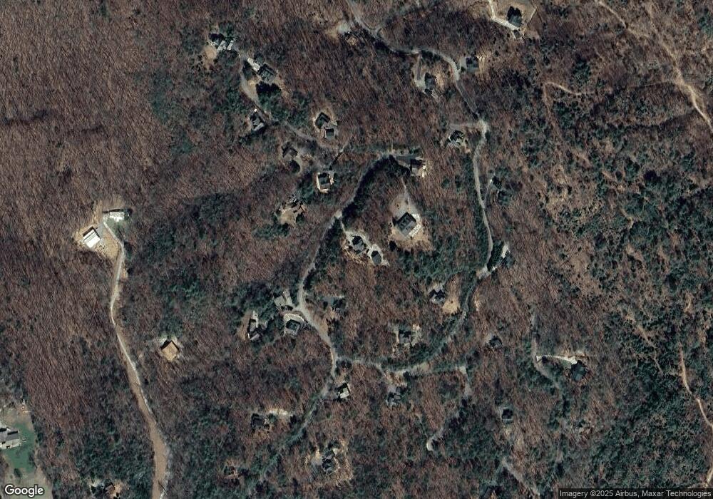
Map
Nearby Homes
- 455 Shepherds Walk
- Lot 38 Shepherds Way
- 180 Shepherds Ridge
- 76 Channing Hollow
- 116 Channing Ridge Rd
- 116 Channing Ridge Rd Unit 10
- 45 Channing Ridge Rd
- 0 N Burgess Gap Rd Unit 24911808
- 0 N Burgess Gap Rd Unit 10610901
- 0 Deer Run Unit 10695944
- 16894 Morganton Hwy
- 16 Enchanting Cir
- 224 Eagle Ridge
- 195 Hoot Owl Ridge
- 164 Hoot Owl Hill
- 380 Oak Ridge Way
- 1.01 AC Heards Ridge
- LOT 56 Heards Ridge
- 192 Oak Ridge Way
- 59 Bear Track Trail
- 392 Shepherds Ridge
- 392 Shepherd's Ridge
- 534 Shepherds Ridge
- 534 Shepherds Ridge
- 581 Shepherds Ridge
- 45 Shepherds Place
- 6 Shepherds Ln
- 6 Shepherds Ln
- 6 Shepherds Ln
- 0 Shepherds Ln
- 33 Shepherds Walk
- 55 Shepherds Walk
- 38 Shepherds Ln
- 540 Shepherds Ridge
- 540 Shepherds Ridge
- 363 Shepherds Ridge
- 540 Shepherds Ridge
- 0 Shepherds Walk Unit 41 8439798
- 38 Shepherds Walk
- 26 Shepherds Place
Your Personal Tour Guide
Ask me questions while you tour the home.