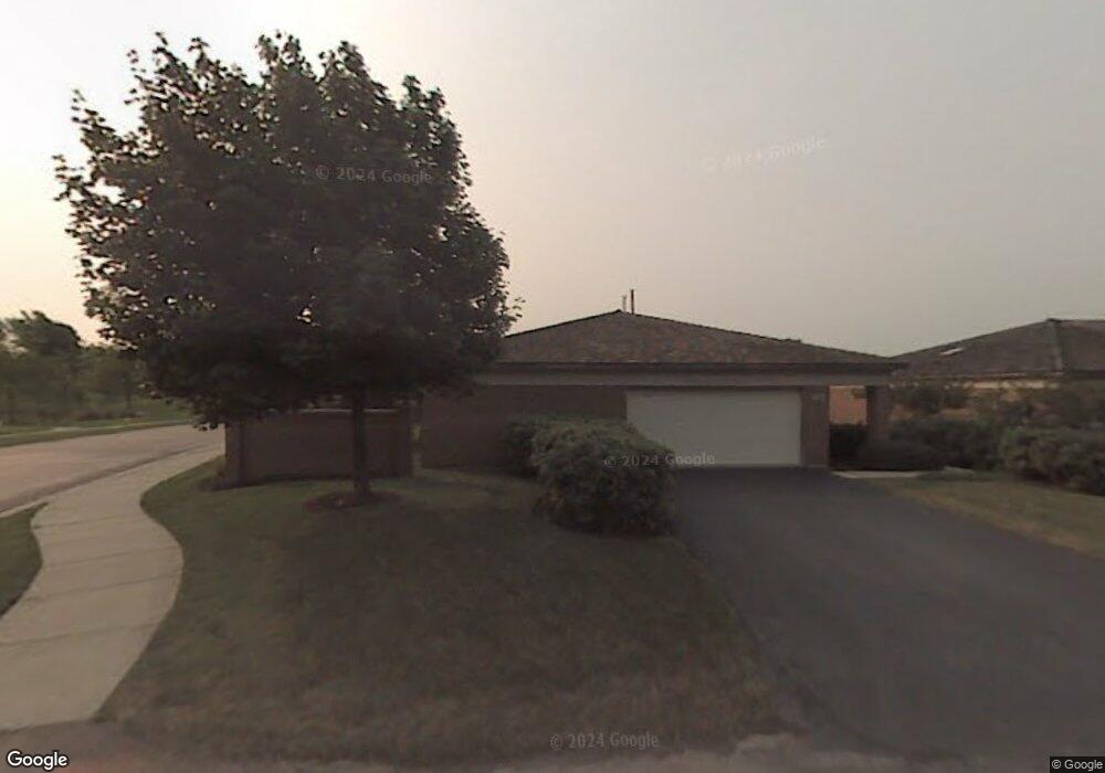
472 Taupo Ln Deerfield, IL 60015
Estimated Value: $690,000 - $873,000
3
Beds
3
Baths
2,593
Sq Ft
$302/Sq Ft
Est. Value
About This Home
This home is located at 472 Taupo Ln, Deerfield, IL 60015 and is currently estimated at $781,856, approximately $301 per square foot. 472 Taupo Ln is a home located in Lake County with nearby schools including South Park Elementary School, Charles J Caruso Middle School, and Deerfield High School.
Ownership History
Date
Name
Owned For
Owner Type
Purchase Details
Closed on
May 9, 2025
Sold by
Blacher Robert and Blacher Barbara
Bought by
Robert M Blacher And Barbara Blacher Living T
Current Estimated Value
Purchase Details
Closed on
Sep 9, 1998
Sold by
American National Bk & Tr Co Of Chicago
Bought by
Greenfield Arthur L and Greenfield Roberta
Home Financials for this Owner
Home Financials are based on the most recent Mortgage that was taken out on this home.
Original Mortgage
$300,000
Interest Rate
6.99%
Create a Home Valuation Report for This Property
The Home Valuation Report is an in-depth analysis detailing your home's value as well as a comparison with similar homes in the area
Home Values in the Area
Average Home Value in this Area
Purchase History
| Date | Buyer | Sale Price | Title Company |
|---|---|---|---|
| Robert M Blacher And Barbara Blacher Living T | -- | None Listed On Document | |
| Greenfield Arthur L | $434,000 | Chicago Title Insurance Co |
Source: Public Records
Mortgage History
| Date | Status | Borrower | Loan Amount |
|---|---|---|---|
| Previous Owner | Greenfield Arthur L | $300,000 |
Source: Public Records
Tax History Compared to Growth
Tax History
| Year | Tax Paid | Tax Assessment Tax Assessment Total Assessment is a certain percentage of the fair market value that is determined by local assessors to be the total taxable value of land and additions on the property. | Land | Improvement |
|---|---|---|---|---|
| 2024 | $16,942 | $204,255 | $32,723 | $171,532 |
| 2023 | $16,912 | $196,022 | $31,404 | $164,618 |
| 2022 | $16,912 | $189,509 | $25,891 | $163,618 |
| 2021 | $15,938 | $182,712 | $24,962 | $157,750 |
| 2020 | $15,330 | $183,097 | $25,015 | $158,082 |
| 2019 | $14,984 | $182,787 | $24,973 | $157,814 |
| 2018 | $13,567 | $175,283 | $26,470 | $148,813 |
| 2017 | $13,637 | $174,724 | $26,386 | $148,338 |
| 2016 | $13,801 | $174,724 | $25,388 | $149,336 |
| 2015 | $13,492 | $164,168 | $23,854 | $140,314 |
| 2014 | $13,923 | $166,846 | $24,024 | $142,822 |
| 2012 | $13,685 | $165,374 | $23,812 | $141,562 |
Source: Public Records
Map
Nearby Homes
- 361 Kelburn Rd Unit 316
- 372 Kelburn Rd Unit 313
- 382 Kelburn Rd Unit 122
- 679 Central Ave
- 630 Hermitage Dr
- 441 Elm St Unit 3A
- 610 Robert York Ave Unit 104
- 757 Kipling Place
- 956 Brookside Ln
- 1009 Central Ave
- 860 Kenton Rd
- 1038 Brookside Ln
- 717 Brierhill Rd
- 505 Margate Terrace
- 805 Brand Ln
- 312 Pine St
- 745 Price Ln
- 904 Forest Ave
- 49 Larkdale Rd
- 75 Mulberry Rd