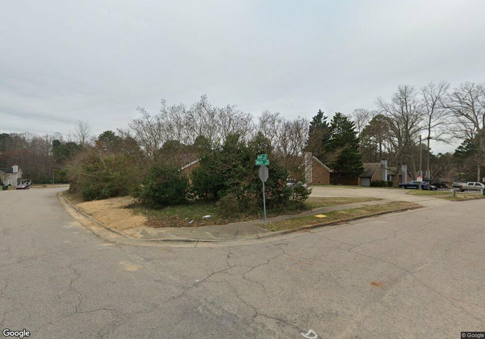
4720 Matt Dr Unit C Raleigh, NC 27604
Atlantic NeighborhoodEstimated Value: $690,000 - $729,000
2
Beds
2
Baths
1,050
Sq Ft
$677/Sq Ft
Est. Value
About This Home
This home is located at 4720 Matt Dr Unit C, Raleigh, NC 27604 and is currently estimated at $710,505, approximately $676 per square foot. 4720 Matt Dr Unit C is a home located in Wake County with nearby schools including Lead Mine Elementary School, Carroll Middle, and Sanderson High School.
Ownership History
Date
Name
Owned For
Owner Type
Purchase Details
Closed on
May 10, 2021
Sold by
Phan Hao Huu and Phan Bui Hong
Bought by
O2 Raleigh Llc
Current Estimated Value
Purchase Details
Closed on
Mar 17, 2011
Sold by
Perkins Michael F
Bought by
Phan Hao Huu and Phan Bui Hong Thi Thu
Home Financials for this Owner
Home Financials are based on the most recent Mortgage that was taken out on this home.
Original Mortgage
$212,250
Interest Rate
4.99%
Mortgage Type
New Conventional
Create a Home Valuation Report for This Property
The Home Valuation Report is an in-depth analysis detailing your home's value as well as a comparison with similar homes in the area
Home Values in the Area
Average Home Value in this Area
Purchase History
| Date | Buyer | Sale Price | Title Company |
|---|---|---|---|
| O2 Raleigh Llc | $518,000 | None Available | |
| Phan Hao Huu | $283,000 | None Available |
Source: Public Records
Mortgage History
| Date | Status | Borrower | Loan Amount |
|---|---|---|---|
| Previous Owner | Phan Hao Huu | $212,250 |
Source: Public Records
Tax History Compared to Growth
Tax History
| Year | Tax Paid | Tax Assessment Tax Assessment Total Assessment is a certain percentage of the fair market value that is determined by local assessors to be the total taxable value of land and additions on the property. | Land | Improvement |
|---|---|---|---|---|
| 2025 | $5,601 | $633,126 | $150,000 | $483,126 |
| 2024 | $5,579 | $633,126 | $150,000 | $483,126 |
| 2023 | $4,762 | $429,552 | $60,000 | $369,552 |
| 2022 | $4,429 | $429,552 | $60,000 | $369,552 |
| 2021 | $4,260 | $429,552 | $60,000 | $369,552 |
| 2020 | $4,183 | $429,552 | $60,000 | $369,552 |
| 2019 | $3,771 | $318,450 | $56,000 | $262,450 |
| 2018 | $3,559 | $318,450 | $56,000 | $262,450 |
| 2017 | $3,393 | $318,450 | $56,000 | $262,450 |
| 2016 | $3,324 | $318,450 | $56,000 | $262,450 |
| 2015 | $3,480 | $328,348 | $56,000 | $272,348 |
| 2014 | $3,304 | $328,348 | $56,000 | $272,348 |
Source: Public Records
Map
Nearby Homes
- 4702 Walden Pond Dr Unit A
- 4705 Walden Pond Dr Unit 110-C
- 4600 Millstone Dr Unit D
- 2614 Brafferton Ct
- 4204 Green Rd
- 4463 Roller Ct
- 4361 Bona Ct
- 4376 Bona Ct
- 4236 Lake Ridge Dr Unit 11B
- 3700 Huntleigh Dr
- 3608 Arrowwood Dr
- 3709 Elm Grove Ln
- 3707 Elm Grove Ln
- 3705 Elm Grove Ln
- 3701 Elm Grove Ln
- 3703 Elm Grove Ln
- 1700 Tiffany Bay Ct Unit 303
- 4842 Wyatt Brook Way
- 3701 Saratoga Dr
- 4600 Old Wake Forest Rd
- 4720 Matt Dr
- 4716 Matt Dr Unit D
- 4716 Matt Dr Unit C
- 4716 Matt Dr Unit B
- 4716 Matt Dr Unit A
- 4716 Matt Dr
- 4716 Matt Dr Unit A & B
- 4700 Matt Dr
- 4704 Matt Dr Unit D
- 4704 Matt Dr Unit C
- 4704 Matt Dr Unit B
- 4704 Matt Dr Unit A
- 4704 Matt Dr
- 4712 Hoyle Dr
- 4714 Hoyle Dr
- 4714 Hoyle Dr Unit D
- 4714 Hoyle Dr Unit A
- 4714 Hoyle Dr Unit C
- 4714 Hoyle Dr Unit D
- 4745 Matt Dr