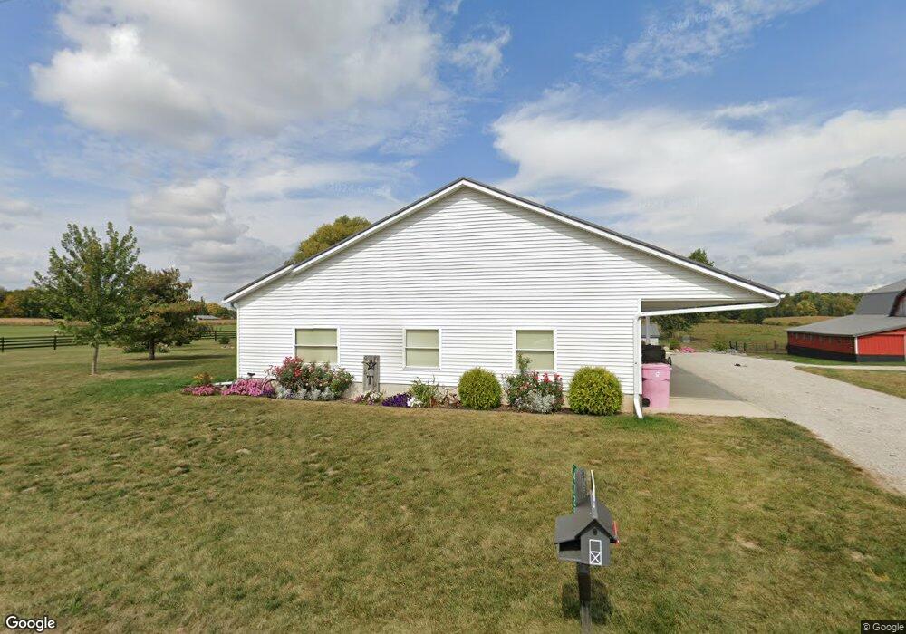
4725 E 100 N Lagrange, IN 46761
Estimated Value: $280,000 - $533,000
4
Beds
2
Baths
1,882
Sq Ft
$237/Sq Ft
Est. Value
About This Home
This home is located at 4725 E 100 N, Lagrange, IN 46761 and is currently estimated at $446,469, approximately $237 per square foot. 4725 E 100 N is a home located in LaGrange County with nearby schools including Lakeland Jr/Sr High School, Little Acorn School, and Bloomfield Hills School.
Create a Home Valuation Report for This Property
The Home Valuation Report is an in-depth analysis detailing your home's value as well as a comparison with similar homes in the area
Tax History
| Year | Tax Paid | Tax Assessment Tax Assessment Total Assessment is a certain percentage of the fair market value that is determined by local assessors to be the total taxable value of land and additions on the property. | Land | Improvement |
|---|---|---|---|---|
| 2024 | $1,380 | $343,600 | $51,400 | $292,200 |
| 2023 | $1,213 | $326,600 | $45,800 | $280,800 |
| 2022 | $1,186 | $271,400 | $35,300 | $236,100 |
| 2021 | $958 | $240,700 | $32,200 | $208,500 |
| 2020 | $1,131 | $222,400 | $29,200 | $193,200 |
| 2019 | $1,138 | $217,400 | $31,500 | $185,900 |
| 2018 | $1,152 | $203,300 | $31,900 | $171,400 |
| 2017 | $1,136 | $197,400 | $33,800 | $163,600 |
| 2016 | $1,301 | $208,100 | $34,700 | $173,400 |
| 2014 | $932 | $179,000 | $35,500 | $143,500 |
| 2013 | $932 | $178,300 | $33,100 | $145,200 |
Source: Public Records
Map
Nearby Homes
Your Personal Tour Guide
Ask me questions while you tour the home.