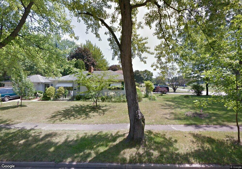
4725 Euclid Blvd Youngstown, OH 44512
Estimated Value: $160,000 - $163,000
3
Beds
1
Bath
1,274
Sq Ft
$127/Sq Ft
Est. Value
About This Home
This home is located at 4725 Euclid Blvd, Youngstown, OH 44512 and is currently estimated at $161,874, approximately $127 per square foot. 4725 Euclid Blvd is a home located in Mahoning County with nearby schools including Robinwood Lane Elementary School, Boardman Glenwood Junior High School, and Boardman High School.
Ownership History
Date
Name
Owned For
Owner Type
Purchase Details
Closed on
Aug 30, 2011
Sold by
Ament James R and Ament Karen L
Bought by
Ament James R and Scacchetti Diane L
Current Estimated Value
Purchase Details
Closed on
Mar 8, 2000
Bought by
James R Ament
Purchase Details
Closed on
Jan 28, 1998
Sold by
Maley Stanford and Maley Helen
Bought by
Ament James D and Ament Rose
Purchase Details
Closed on
Feb 10, 1976
Bought by
Maley Stanford and Maley Helen
Create a Home Valuation Report for This Property
The Home Valuation Report is an in-depth analysis detailing your home's value as well as a comparison with similar homes in the area
Home Values in the Area
Average Home Value in this Area
Purchase History
| Date | Buyer | Sale Price | Title Company |
|---|---|---|---|
| Ament James R | -- | Attorney | |
| James R Ament | -- | -- | |
| Ament James D | $88,500 | -- | |
| Maley Stanford | -- | -- |
Source: Public Records
Tax History Compared to Growth
Tax History
| Year | Tax Paid | Tax Assessment Tax Assessment Total Assessment is a certain percentage of the fair market value that is determined by local assessors to be the total taxable value of land and additions on the property. | Land | Improvement |
|---|---|---|---|---|
| 2024 | $2,017 | $39,180 | $6,320 | $32,860 |
| 2023 | $1,991 | $39,180 | $6,320 | $32,860 |
| 2022 | $2,008 | $30,250 | $6,150 | $24,100 |
| 2021 | $2,009 | $30,250 | $6,150 | $24,100 |
| 2020 | $2,019 | $30,250 | $6,150 | $24,100 |
| 2019 | $1,877 | $24,600 | $5,000 | $19,600 |
| 2018 | $1,600 | $24,600 | $5,000 | $19,600 |
| 2017 | $1,578 | $24,600 | $5,000 | $19,600 |
| 2016 | $1,645 | $25,410 | $5,590 | $19,820 |
| 2015 | $1,612 | $25,410 | $5,590 | $19,820 |
| 2014 | $1,617 | $25,410 | $5,590 | $19,820 |
| 2013 | $1,597 | $25,410 | $5,590 | $19,820 |
Source: Public Records
Map
Nearby Homes
- 429 Tudor Ln
- 744 Nellbert Ln
- 0 Cranberry Ln Unit 5119702
- 0 Mulberry Ln Unit 5119623
- 0 Indianola Rd
- 323 Melrose Ave
- 4622 Simon Rd
- 4552 New England Blvd
- 268 Erskine Ave
- 4534 South Ave
- 885 Afton Ave
- 220 Afton Ave
- 0 Moyer Ave
- 4212 South Ave
- 167 Afton Ave
- 186 Maple Dr
- 4197 South Ave
- 0 Mathews Rd Unit 5038026
- 178 Mathews Rd
- 796 Edenridge Dr
- 708 Indianola Rd
- 714 Indianola Rd
- 4715 Euclid Blvd
- 4738 Euclid Blvd
- 4730 Euclid Blvd
- 720 Indianola Rd
- 4709 Euclid Blvd
- 4718 Euclid Blvd
- 701 Indianola Rd
- 731 Tudor Ln
- 473 Indianola Rd
- 726 Indianola Rd
- 4703 Euclid Blvd
- 707 Indianola Rd
- 456 Indianola Rd
- 4708 Euclid Blvd
- 735 Tudor Ln
- 463 Indianola Rd
- 732 Indianola Rd
- 739 Tudor Ln