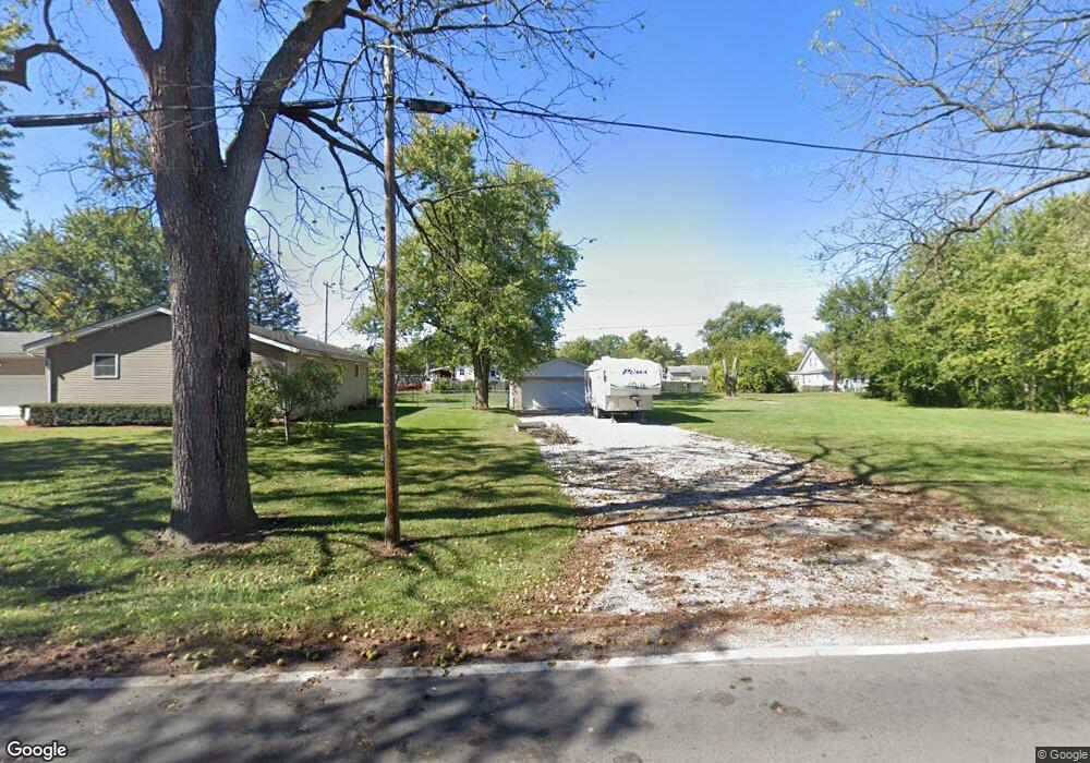
4725 Obetz Reese Rd Columbus, OH 43207
Obetz-Lockbourne NeighborhoodEstimated Value: $34,481 - $229,000
2
Beds
1
Bath
1,316
Sq Ft
$112/Sq Ft
Est. Value
About This Home
This home is located at 4725 Obetz Reese Rd, Columbus, OH 43207 and is currently estimated at $147,870, approximately $112 per square foot. 4725 Obetz Reese Rd is a home located in Franklin County with nearby schools including West Elementary School, Hamilton Elementary School, and Hamilton Intermediate School.
Ownership History
Date
Name
Owned For
Owner Type
Purchase Details
Closed on
May 7, 2019
Sold by
Mills Michelle A
Bought by
Ayers Carl and Ayers Karen
Current Estimated Value
Purchase Details
Closed on
Aug 1, 2018
Sold by
Ingold Adam T
Bought by
Mills Michelle A
Purchase Details
Closed on
Sep 19, 2016
Sold by
Mills Michelle A and Sloan Michelle A
Bought by
Ingold Adam T
Purchase Details
Closed on
Jul 5, 2006
Sold by
Robinson Barbara P and Robinson Raymond G
Bought by
Sloan Michelle A
Purchase Details
Closed on
May 6, 2003
Sold by
Robinson Raymond G and Robinson Barbara P
Bought by
Robinson Raymond G and Robinson Barbara P
Purchase Details
Closed on
Aug 1, 2000
Sold by
Sloan Kathryn J
Bought by
Robinson Barbara P and Robinson Raymond G
Purchase Details
Closed on
Aug 14, 1992
Bought by
Sloan Kathryn J
Create a Home Valuation Report for This Property
The Home Valuation Report is an in-depth analysis detailing your home's value as well as a comparison with similar homes in the area
Home Values in the Area
Average Home Value in this Area
Purchase History
| Date | Buyer | Sale Price | Title Company |
|---|---|---|---|
| Ayers Carl | $18,500 | Northwest Ttl Fam Of Compani | |
| Mills Michelle A | $15,300 | None Available | |
| Ingold Adam T | $11,200 | None Available | |
| Sloan Michelle A | $12,000 | None Available | |
| Robinson Raymond G | -- | -- | |
| Robinson Barbara P | -- | -- | |
| Sloan Kathryn J | -- | -- |
Source: Public Records
Tax History Compared to Growth
Tax History
| Year | Tax Paid | Tax Assessment Tax Assessment Total Assessment is a certain percentage of the fair market value that is determined by local assessors to be the total taxable value of land and additions on the property. | Land | Improvement |
|---|---|---|---|---|
| 2024 | $210 | $4,480 | $840 | $3,640 |
| 2023 | $208 | $4,480 | $840 | $3,640 |
| 2022 | $357 | $6,440 | $3,640 | $2,800 |
| 2021 | $362 | $6,440 | $3,640 | $2,800 |
| 2020 | $369 | $6,440 | $3,640 | $2,800 |
| 2019 | $347 | $5,360 | $3,010 | $2,350 |
| 2018 | $295 | $5,360 | $3,010 | $2,350 |
| 2017 | $328 | $5,360 | $3,010 | $2,350 |
| 2016 | $260 | $3,920 | $3,850 | $70 |
| 2015 | $247 | $3,920 | $3,850 | $70 |
| 2014 | $246 | $3,920 | $3,850 | $70 |
| 2013 | $131 | $4,340 | $4,270 | $70 |
Source: Public Records
Map
Nearby Homes
- 1987 Reese Ave
- 1962 Reese Ave
- 1817 Marlboro Ave
- 4417 Lancaster Ave
- 4383 Lancaster Ave
- 1632 Marlboro Ave
- 1559 Obetz Ave
- 1341 Halfhill Way
- 4410 Holstein Dr
- 1597 Metcalfe Ave
- 4412 Catamaran Dr
- 1583 Metcalfe Ave
- 4310 Charlotte Rd
- 4231 Umiak Dr
- 1315 Webb Dr Unit Lot 93
- 1292 Webb Dr Unit Lot 83
- 1291 Webb Dr Unit Lot 90
- 1099 Secrest Ave
- 1193 Rendezvous Ln
- 5081 Lockbourne Rd