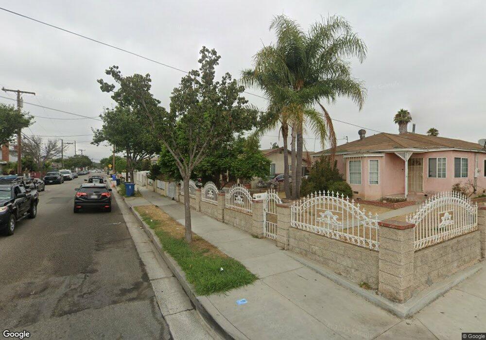
4725 W 118th St Unit B Hawthorne, CA 90250
Estimated Value: $1,312,747 - $1,410,000
7
Beds
5
Baths
4,526
Sq Ft
$301/Sq Ft
Est. Value
About This Home
This home is located at 4725 W 118th St Unit B, Hawthorne, CA 90250 and is currently estimated at $1,361,187, approximately $300 per square foot. 4725 W 118th St Unit B is a home located in Los Angeles County with nearby schools including Eucalyptus School, Hawthorne Middle School, and Hawthorne High School.
Ownership History
Date
Name
Owned For
Owner Type
Purchase Details
Closed on
Jan 29, 2015
Sold by
Almaraz Roberto and Duque Jahir
Bought by
Almaraz Roberto
Current Estimated Value
Purchase Details
Closed on
Sep 22, 2014
Sold by
Almaraz Roberto
Bought by
Almaraz Roberto and Duque Jahir
Purchase Details
Closed on
Jun 26, 2006
Sold by
Morales Martha E Martinez
Bought by
Almaraz Roberto
Purchase Details
Closed on
Feb 16, 2005
Sold by
Morales Emilio
Bought by
Morales Martha E Martinez
Home Financials for this Owner
Home Financials are based on the most recent Mortgage that was taken out on this home.
Original Mortgage
$552,000
Interest Rate
5.75%
Mortgage Type
Purchase Money Mortgage
Purchase Details
Closed on
Dec 29, 2004
Sold by
Future Security Inc
Bought by
Morales Martha E Martinez
Home Financials for this Owner
Home Financials are based on the most recent Mortgage that was taken out on this home.
Original Mortgage
$552,000
Interest Rate
5.75%
Mortgage Type
Purchase Money Mortgage
Purchase Details
Closed on
Jul 10, 2004
Sold by
Lopez Michael
Bought by
Future Security Inc
Home Financials for this Owner
Home Financials are based on the most recent Mortgage that was taken out on this home.
Original Mortgage
$480,000
Interest Rate
6.31%
Mortgage Type
Balloon
Purchase Details
Closed on
Jul 8, 2004
Sold by
Future Security Inc
Bought by
Lopez Michael
Home Financials for this Owner
Home Financials are based on the most recent Mortgage that was taken out on this home.
Original Mortgage
$480,000
Interest Rate
6.31%
Mortgage Type
Balloon
Purchase Details
Closed on
Jun 28, 2004
Sold by
Lopez Angelina
Bought by
Lopez Michael
Home Financials for this Owner
Home Financials are based on the most recent Mortgage that was taken out on this home.
Original Mortgage
$480,000
Interest Rate
6.31%
Mortgage Type
Balloon
Purchase Details
Closed on
May 19, 2004
Sold by
Bueno Rosemarie
Bought by
Lopez Michael
Home Financials for this Owner
Home Financials are based on the most recent Mortgage that was taken out on this home.
Original Mortgage
$480,000
Interest Rate
6.31%
Mortgage Type
Balloon
Purchase Details
Closed on
Apr 1, 1997
Sold by
Lazaro Monica M
Bought by
Bueno Rosemarie
Create a Home Valuation Report for This Property
The Home Valuation Report is an in-depth analysis detailing your home's value as well as a comparison with similar homes in the area
Home Values in the Area
Average Home Value in this Area
Purchase History
| Date | Buyer | Sale Price | Title Company |
|---|---|---|---|
| Almaraz Roberto | -- | None Available | |
| Almaraz Roberto | -- | None Available | |
| Almaraz Roberto | -- | None Available | |
| Morales Martha E Martinez | -- | Landsafe Title | |
| Morales Martha E Martinez | $690,000 | Landsafe Title | |
| Future Security Inc | -- | Landsafe Title | |
| Lopez Michael | -- | -- | |
| Lopez Michael | -- | -- | |
| Lopez Michael | -- | -- | |
| Lopez Michael | -- | -- | |
| Lopez Michael | $487,000 | -- | |
| Bueno Rosemarie | -- | -- |
Source: Public Records
Mortgage History
| Date | Status | Borrower | Loan Amount |
|---|---|---|---|
| Previous Owner | Morales Martha E Martinez | $552,000 | |
| Previous Owner | Lopez Michael | $480,000 | |
| Previous Owner | Lopez Michael | $480,000 | |
| Previous Owner | Lopez Michael | $480,000 | |
| Closed | Morales Martha E Martinez | $98,000 |
Source: Public Records
Tax History Compared to Growth
Tax History
| Year | Tax Paid | Tax Assessment Tax Assessment Total Assessment is a certain percentage of the fair market value that is determined by local assessors to be the total taxable value of land and additions on the property. | Land | Improvement |
|---|---|---|---|---|
| 2025 | $12,698 | $973,651 | $501,658 | $471,993 |
| 2024 | $12,698 | $954,561 | $491,822 | $462,739 |
| 2023 | $12,241 | $935,845 | $482,179 | $453,666 |
| 2022 | $12,412 | $917,496 | $472,725 | $444,771 |
| 2021 | $12,237 | $899,506 | $463,456 | $436,050 |
| 2019 | $11,813 | $874,347 | $449,710 | $424,637 |
| 2018 | $11,326 | $857,234 | $440,893 | $416,341 |
| 2016 | $10,789 | $822,488 | $423,774 | $398,714 |
| 2015 | $8,546 | $642,600 | $297,636 | $344,964 |
| 2014 | $8,151 | $600,000 | $283,600 | $316,400 |
Source: Public Records
Map
Nearby Homes
- 11835 Gale Ave
- 11894 Truro Ave
- 4834 W 118th Place
- 11431 Ramona Ave
- 11830 Manor Dr Unit A
- 4707 W 120th St
- 11922 Manor Dr
- 4537 W 120th St
- 5017 W 118th Place
- 5048 W 121st St
- 11000 Buford Ave
- 11004 Mansel Ave
- 10910 S Burl Ave
- 11825 Menlo Ave
- 4900 Lennox Blvd
- 11121 S Freeman Ave
- 4264 W Broadway
- 12415 Cedar Ave
- 5324 W 121st St
- 12621 Costa Dr
- 4725 W 118th St
- 4717 W 118th St
- 4733 W 118th St
- 4709 W 118th St
- 11722 Gale Ave
- 11723 Eucalyptus Ave
- 4703 W 118th St
- 11716 Gale Ave
- 11717 Eucalyptus Ave
- 11708 Gale Ave
- 4753 W 118th St
- 4722 W 118th St
- 4730 W 118th St
- 4712 W 118th St
- 11709 Eucalyptus Ave
- 4706 W 118th St
- 11702 Gale Ave
- 4759 W 118th St
- 11728 Eucalyptus Ave
- 4693 W 118th St Unit 1