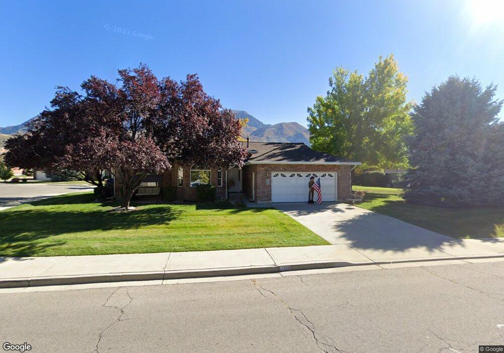
4728 N 450 W Provo, UT 84604
Riverside NeighborhoodEstimated Value: $521,000 - $733,000
2
Beds
2
Baths
1,804
Sq Ft
$330/Sq Ft
Est. Value
About This Home
This home is located at 4728 N 450 W, Provo, UT 84604 and is currently estimated at $594,821, approximately $329 per square foot. 4728 N 450 W is a home located in Utah County with nearby schools including Canyon Crest Elementary School, Centennial Middle School, and Timpview High School.
Ownership History
Date
Name
Owned For
Owner Type
Purchase Details
Closed on
Dec 4, 2017
Sold by
Spackmnan Ann Marie and Pyne Joseph Terry
Bought by
Rollins Boyd C and Rollins Erma
Current Estimated Value
Home Financials for this Owner
Home Financials are based on the most recent Mortgage that was taken out on this home.
Original Mortgage
$257,600
Outstanding Balance
$214,360
Interest Rate
3.5%
Mortgage Type
Adjustable Rate Mortgage/ARM
Estimated Equity
$380,461
Purchase Details
Closed on
Nov 30, 2017
Sold by
Rollins Boyd C and Rollins Erma
Bought by
Rollins Boyd C and Rollins Erma Gene
Home Financials for this Owner
Home Financials are based on the most recent Mortgage that was taken out on this home.
Original Mortgage
$257,600
Outstanding Balance
$214,360
Interest Rate
3.5%
Mortgage Type
Adjustable Rate Mortgage/ARM
Estimated Equity
$380,461
Purchase Details
Closed on
Dec 30, 1997
Sold by
Pyne Beatrice G
Bought by
Pyne Max T and Pyne Beatrice G
Create a Home Valuation Report for This Property
The Home Valuation Report is an in-depth analysis detailing your home's value as well as a comparison with similar homes in the area
Home Values in the Area
Average Home Value in this Area
Purchase History
| Date | Buyer | Sale Price | Title Company |
|---|---|---|---|
| Rollins Boyd C | -- | Backman Title Services Ltd | |
| Rollins Boyd C | -- | Accommodation | |
| Pyne Max T | -- | -- |
Source: Public Records
Mortgage History
| Date | Status | Borrower | Loan Amount |
|---|---|---|---|
| Open | Rollins Boyd C | $257,600 |
Source: Public Records
Tax History Compared to Growth
Tax History
| Year | Tax Paid | Tax Assessment Tax Assessment Total Assessment is a certain percentage of the fair market value that is determined by local assessors to be the total taxable value of land and additions on the property. | Land | Improvement |
|---|---|---|---|---|
| 2025 | $2,720 | $253,550 | $93,600 | $367,400 |
| 2024 | $2,720 | $267,740 | $0 | $0 |
| 2023 | $2,908 | $282,150 | $0 | $0 |
| 2022 | $2,484 | $243,100 | $0 | $0 |
| 2021 | $1,977 | $337,400 | $95,000 | $242,400 |
| 2020 | $1,971 | $315,300 | $95,000 | $220,300 |
| 2019 | $1,863 | $310,000 | $95,000 | $215,000 |
| 2018 | $1,780 | $300,300 | $95,000 | $205,300 |
| 2017 | $1,514 | $140,415 | $0 | $0 |
| 2016 | $1,454 | $125,675 | $0 | $0 |
| 2015 | $1,385 | $121,000 | $0 | $0 |
| 2014 | $1,208 | $110,000 | $0 | $0 |
Source: Public Records
Map
Nearby Homes
- 1643 Mountain Oaks Dr
- 1070 E 120 S
- 153 S 1000 E
- 5005 N Edgewood Dr Unit 310
- 325 S 1000 E
- 5013 N Edgewood Dr
- 4246 N Stonecrossing
- 204 E 4635 N
- 209 E 4735 N
- 221 E 4735 N
- 387 S 1000 E
- 455 W 4150 St N
- 400 Palisade Dr
- 386 N 1100 E
- 350 S 900 E
- 282 W 4020 N
- 645 Foothill Dr
- 4839 N 350 E
- 478 S 950 E
- 150 N 750 E