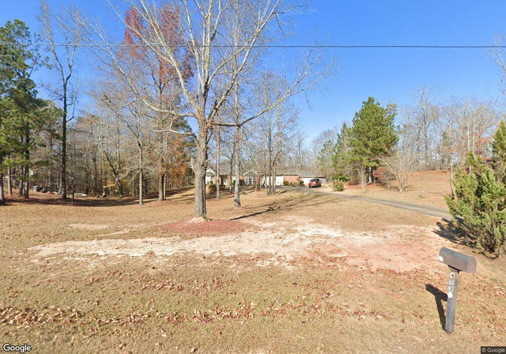
473 Boyd Branch Dr Upatoi, GA 31829
Estimated Value: $472,000 - $534,000
3
Beds
2
Baths
3,056
Sq Ft
$165/Sq Ft
Est. Value
About This Home
This home is located at 473 Boyd Branch Dr, Upatoi, GA 31829 and is currently estimated at $504,531, approximately $165 per square foot. 473 Boyd Branch Dr is a home located in Harris County with nearby schools including Pine Ridge Elementary School, Cogburn Woods Elementary School, and Harris County Carver Middle School.
Ownership History
Date
Name
Owned For
Owner Type
Purchase Details
Closed on
Apr 23, 2003
Sold by
Moon Mike L
Bought by
Lewis James T and Lewis Rachel J
Current Estimated Value
Purchase Details
Closed on
Apr 23, 2002
Sold by
Parkland Corporation
Bought by
Moon Mike L
Create a Home Valuation Report for This Property
The Home Valuation Report is an in-depth analysis detailing your home's value as well as a comparison with similar homes in the area
Home Values in the Area
Average Home Value in this Area
Purchase History
| Date | Buyer | Sale Price | Title Company |
|---|---|---|---|
| Lewis James T | $329,900 | -- | |
| Moon Mike L | -- | -- |
Source: Public Records
Tax History Compared to Growth
Tax History
| Year | Tax Paid | Tax Assessment Tax Assessment Total Assessment is a certain percentage of the fair market value that is determined by local assessors to be the total taxable value of land and additions on the property. | Land | Improvement |
|---|---|---|---|---|
| 2024 | $1,381 | $163,283 | $16,000 | $147,283 |
| 2023 | $413 | $137,225 | $14,000 | $123,225 |
| 2022 | $1,094 | $137,225 | $14,000 | $123,225 |
| 2021 | $685 | $120,305 | $14,000 | $106,305 |
| 2020 | $807 | $114,168 | $14,000 | $100,168 |
| 2019 | $810 | $110,444 | $14,000 | $96,444 |
| 2018 | $947 | $110,444 | $14,000 | $96,444 |
| 2017 | $1,050 | $110,444 | $14,000 | $96,444 |
| 2016 | $981 | $107,459 | $14,000 | $93,459 |
| 2015 | $1,065 | $107,459 | $14,000 | $93,459 |
| 2014 | $1,243 | $111,666 | $14,000 | $97,666 |
| 2013 | -- | $116,813 | $24,000 | $92,813 |
Source: Public Records
Map
Nearby Homes
- 0 Boyd Ct
- 8585 Mckee Rd
- 7019 Kendall Creek Dr
- 57 Old Chimney Ct
- 8701 Mckee Rd
- 8711 Mckee Rd
- 8715 Mckee Rd
- 8695 Mckee Rd
- 8705 Mckee Rd
- 64 Steele Creek Dr
- Cypress Plan at Bowers Creek
- Cannaberra Plan at Bowers Creek
- Belmont Plan at Bowers Creek
- Jackson Plan at Bowers Creek
- Alder Plan at Bowers Creek
- Oakwood Plan at Bowers Creek
- Magnolia Plan at Bowers Creek
- Ash II Plan at Bowers Creek
- Harrison Plan at Bowers Creek
- 7901 Shallowford Rd
- 409 Boyd Branch Dr
- 485 Boyd Branch Dr
- 437 Boyd Branch Dr
- 31 Hearld Ct
- 18 Hearld Ct
- 355 Boyd Branch Dr
- 483 Boyd Branch Dr
- 20 Kendall Ct
- 354 Boyd Branch Dr
- 553 Boyd Branch Dr
- 113 Hearld Ct
- 56 Hearld Ct
- 319 Boyd Branch Dr
- 613 Boyd Branch Dr
- 74 Kendall Ct
- 264 Boyd Branch Dr
- 664 Boyd Branch Dr
- 166 Herald Ct
- 142 Hearld Ct
- 112 Hearld Ct