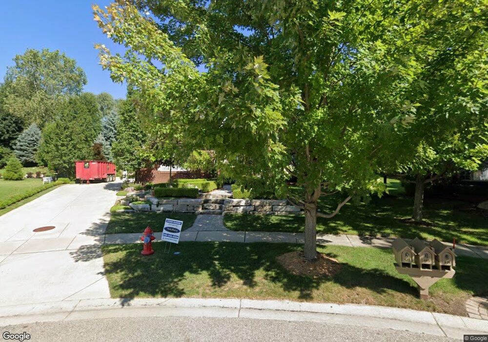
473 Duncan Ct Rochester, MI 48307
Estimated Value: $674,517 - $777,000
3
Beds
4
Baths
2,690
Sq Ft
$270/Sq Ft
Est. Value
About This Home
This home is located at 473 Duncan Ct, Rochester, MI 48307 and is currently estimated at $726,879, approximately $270 per square foot. 473 Duncan Ct is a home located in Oakland County with nearby schools including Hart Middle School, North Hill Elementary School, and Stoney Creek High School.
Ownership History
Date
Name
Owned For
Owner Type
Purchase Details
Closed on
Jun 22, 2022
Sold by
Wals James H and Wals Cynthia H
Bought by
Wals Joint Trust
Current Estimated Value
Purchase Details
Closed on
May 31, 2005
Sold by
Bray Martin L and Bray Charlotte
Bought by
Wals James and Wals Cynthia H
Home Financials for this Owner
Home Financials are based on the most recent Mortgage that was taken out on this home.
Original Mortgage
$100,000
Interest Rate
5.82%
Mortgage Type
Fannie Mae Freddie Mac
Purchase Details
Closed on
Sep 2, 1999
Sold by
Orloff Homes Of Roch
Bought by
Bray Martin L
Create a Home Valuation Report for This Property
The Home Valuation Report is an in-depth analysis detailing your home's value as well as a comparison with similar homes in the area
Home Values in the Area
Average Home Value in this Area
Purchase History
| Date | Buyer | Sale Price | Title Company |
|---|---|---|---|
| Wals Joint Trust | -- | -- | |
| Wals James | $435,000 | Metropolitan Title Company | |
| Bray Martin L | $345,934 | -- |
Source: Public Records
Mortgage History
| Date | Status | Borrower | Loan Amount |
|---|---|---|---|
| Previous Owner | Wals James | $100,000 |
Source: Public Records
Tax History Compared to Growth
Tax History
| Year | Tax Paid | Tax Assessment Tax Assessment Total Assessment is a certain percentage of the fair market value that is determined by local assessors to be the total taxable value of land and additions on the property. | Land | Improvement |
|---|---|---|---|---|
| 2024 | $5,861 | $293,380 | $0 | $0 |
| 2023 | $5,612 | $279,260 | $0 | $0 |
| 2022 | $5,970 | $251,390 | $0 | $0 |
| 2021 | $5,609 | $229,790 | $0 | $0 |
| 2020 | $5,266 | $226,870 | $0 | $0 |
| 2019 | $5,790 | $224,530 | $0 | $0 |
| 2018 | $5,782 | $229,220 | $0 | $0 |
| 2017 | $5,669 | $228,200 | $0 | $0 |
| 2016 | $5,489 | $221,180 | $0 | $0 |
| 2015 | -- | $210,040 | $0 | $0 |
| 2014 | -- | $177,990 | $0 | $0 |
| 2011 | -- | $155,680 | $0 | $0 |
Source: Public Records
Map
Nearby Homes
- 1022 Pointe Place Blvd
- 674 Springview Dr
- 628 Springview Dr Unit 120
- 767 E Bluff Ct Unit 7
- 620 Appoline Ct
- 500 Romeo Rd Unit 122
- 801 Plate St Unit 201
- 1688 Deepwood Cir
- 761 Lounsbury Ave
- 536 Rewold Dr
- 417 Parkdale Ave Unit 13
- 433 Miller Ave Unit 204
- 334 Romeo Rd
- 420 Baldwin Ave Unit 79
- 1874 Flagstone Cir
- 1850 Flagstone Cir Unit 53
- 877 Quarry
- 509 E University Dr Unit 508
- 861 Quarry
- 1322 Copper Cir Unit 26
- 495 Duncan Ct
- 1357 Kentfield Dr
- 1678 Stony Creek Dr
- 1351 Kentfield Dr
- 1690 Stony Creek Dr
- 1345 Kentfield Dr
- 474 Duncan Ct
- 1702 Stony Creek Dr
- 1339 Kentfield Dr
- 462 Duncan Ct Unit Bldg-Unit
- 462 Duncan Ct
- 450 Duncan Ct
- 1714 Stony Creek Dri 1st St
- 1348 Kentfield Dr
- 1664 Stony Creek Dr
- 1358 Kentfield Dr
- 1336 Kentfield Dr
- 1714 Stony Creek Dr
- 1671 Stony Creek Dr
- 1679 Stony Creek Dr