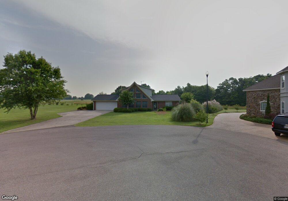
473 Elm Dr Columbus, MS 39701
Estimated Value: $307,000 - $349,000
Studio
--
Bath
2,895
Sq Ft
$111/Sq Ft
Est. Value
About This Home
This home is located at 473 Elm Dr, Columbus, MS 39701 and is currently estimated at $321,099, approximately $110 per square foot. 473 Elm Dr is a home.
Ownership History
Date
Name
Owned For
Owner Type
Purchase Details
Closed on
Nov 17, 2021
Sold by
East Mississippi Community College
Bought by
Hulsey Logging Company Inc
Current Estimated Value
Purchase Details
Closed on
Aug 31, 2020
Sold by
Edwrads Nathan M
Bought by
Hulsey Logging Co Inc
Purchase Details
Closed on
May 9, 2016
Sold by
Dixon James R and Dixon Patsy J
Bought by
Sanders Boris and Dixon Tara L
Home Financials for this Owner
Home Financials are based on the most recent Mortgage that was taken out on this home.
Original Mortgage
$214,412
Interest Rate
3.59%
Mortgage Type
VA
Create a Home Valuation Report for This Property
The Home Valuation Report is an in-depth analysis detailing your home's value as well as a comparison with similar homes in the area
Purchase History
| Date | Buyer | Sale Price | Title Company |
|---|---|---|---|
| Hulsey Logging Company Inc | $1,000,000 | None Listed On Document | |
| Hulsey Logging Co Inc | -- | None Available | |
| Sanders Boris | -- | None Available |
Source: Public Records
Mortgage History
| Date | Status | Borrower | Loan Amount |
|---|---|---|---|
| Previous Owner | Sanders Boris | $214,412 |
Source: Public Records
Tax History
| Year | Tax Paid | Tax Assessment Tax Assessment Total Assessment is a certain percentage of the fair market value that is determined by local assessors to be the total taxable value of land and additions on the property. | Land | Improvement |
|---|---|---|---|---|
| 2025 | $3,300 | $34,313 | $0 | $0 |
| 2024 | $3,273 | $34,313 | $0 | $0 |
| 2023 | $2,866 | $30,173 | $0 | $0 |
| 2022 | $2,868 | $30,173 | $0 | $0 |
| 2021 | $2,760 | $30,173 | $0 | $0 |
| 2020 | $1,437 | $20,115 | $0 | $0 |
| 2019 | $1,102 | $15,742 | $0 | $0 |
| 2018 | $1,102 | $15,738 | $0 | $0 |
| 2017 | $701 | $15,738 | $0 | $0 |
| 2016 | $701 | $15,738 | $0 | $0 |
| 2015 | $740 | $16,196 | $0 | $0 |
| 2014 | $740 | $16,196 | $0 | $0 |
Source: Public Records
Map
Nearby Homes
- 4132 N Frontage Rd
- 49 Billy Casper Dr
- 30 Prairie Waters Dr
- 320 Crosby Ln
- 118 Crosby Ln
- 150 Stoneridge Walk
- 23 Breezeway Cove
- 1291 S Frontage Rd
- 100 Breezeway Cove
- 112 Breezeway Cove
- 96 Breezeway Cove
- 110 Breezeway Cove
- 820 Prairie Waters Dr
- 0 Golden Horn Rd
- 0 S Frontage Road Lot #5 Unit 25-583
- 0 S Frontage Road Lot #3 Unit 25-581
- 0 S Frontage Road Lot #1 Unit 25-579
- 1381 S Frontage Rd
- 3267 Old West Point Rd
- 2 S Frontage Rd
Your Personal Tour Guide
Ask me questions while you tour the home.