473 Malone Rd Maynard, AR 72444
Estimated Value: $345,000 - $1,342,650
About This Home
This home is located at 473 Malone Rd, Maynard, AR 72444 and is currently estimated at $843,825, approximately $428 per square foot. 473 Malone Rd is a home located in Randolph County with nearby schools including Maynard Elementary School and Maynard High School.
Ownership History
We collect this data history from publicly available records. To have your information removed, we recommend requesting removal directly through your county’s website.
Purchase Details
Home Financials for this Owner
Home Financials are based on the most recent Mortgage that was taken out on this home.Purchase Details
Purchase Details
Purchase Details
Purchase Details
Purchase Details
Purchase History
We collect this data history from publicly available records. To have your information removed, we recommend requesting removal directly through your county’s website.
| Date | Buyer | Sale Price | Title Company |
|---|---|---|---|
| $1,880,400 | None Available | ||
| $1,969,000 | -- | ||
| -- | -- | ||
| -- | -- | ||
| -- | -- | ||
| -- | -- |
Mortgage History
We collect this data history from publicly available records. To have your information removed, we recommend requesting removal directly through your county’s website.
| Date | Status | Borrower | Loan Amount |
|---|---|---|---|
| Open | $241,000 | ||
| Open | $1,776,000 |
Tax History
We collect this data history from publicly available records. To have your information removed, we recommend requesting removal directly through your county’s website.
| Year | Tax Paid | Tax Assessment Tax Assessment Total Assessment is a certain percentage of the fair market value that is determined by local assessors to be the total taxable value of land and additions on the property. | Land | Improvement |
|---|---|---|---|---|
| 2025 | $7,016 | $187,130 | $4,990 | $182,140 |
| 2024 | $7,116 | $187,130 | $4,990 | $182,140 |
| 2023 | $7,191 | $187,130 | $4,990 | $182,140 |
| 2022 | $7,260 | $187,130 | $4,990 | $182,140 |
| 2021 | $7,260 | $187,130 | $4,990 | $182,140 |
| 2020 | $7,310 | $188,360 | $5,085 | $183,275 |
| 2019 | $5,446 | $188,360 | $5,085 | $183,275 |
| 2018 | $6,605 | $188,360 | $5,085 | $183,275 |
| 2017 | $6,507 | $159,880 | $4,670 | $155,210 |
| 2016 | $2,275 | $159,880 | $4,670 | $155,210 |
| 2015 | $2,101 | $66,795 | $3,965 | $62,830 |
| 2014 | $1,861 | $124,965 | $3,800 | $121,165 |
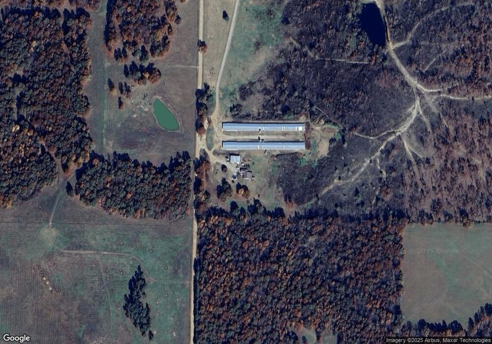
Map
- 2251 Middlebrook Rd
- TBD Minorca Rd
- Tbd Minorca Rd Unit LotWP001
- 13322 Arkansas 115
- 985 Mosley Rd
- 77 Mock St
- 0 Highway 328 E
- 35 Highway 328 E
- 7687 Ripley Route A
- 152 Lentz St
- 000 Carmickle Rd
- 449 Thompson Rd
- 6719 Ripley Route A
- 538 Fowler Rd
- 917 Hummingbird Trail
- TBD Doc Gray Rd
- 11064 Highway 115
- 438 Paradise Acres
- 70 Kenzie Trail
- 0 Spring Bay Rd
- 552 Malone Rd
- 763 Malone Rd
- 2749 Middlebrook Rd
- 3060 Middlebrook Rd
- 2486 Middlebrook Rd
- 955 Malone Rd
- 2435 Middlebrook Rd
- 4152 Ponds Rd
- 2645 Ponds Rd
- 301 Mile Rd
- 89 Mile Rd
- 1167 Malone Rd
- 3008 Ponds Rd
- 271 Mile Rd
- 393 Mile Rd
- 00 Acres Tucker
- 0 Swift Water Tral=il Unit 10093052
- 2120 Middlebrook Rd
- 1043 Middlebrook Rd Unit M-L
- 3232 Ponds Rd
Ask me questions while you tour the home.