473 Stevens Dr La Fayette, GA 30728
Noble NeighborhoodEstimated Value: $150,668 - $310,000
--
Bed
1
Bath
1,564
Sq Ft
$133/Sq Ft
Est. Value
About This Home
This home is located at 473 Stevens Dr, La Fayette, GA 30728 and is currently estimated at $207,917, approximately $132 per square foot. 473 Stevens Dr is a home located in Walker County with nearby schools including Rock Spring Elementary School and Lafayette High School.
Ownership History
Date
Name
Owned For
Owner Type
Purchase Details
Closed on
Aug 26, 2022
Sold by
Wood Callie Rose
Bought by
Wood Christopher Paul and Kinsey Justina
Current Estimated Value
Purchase Details
Closed on
Mar 9, 2015
Sold by
Smith Alton T
Bought by
Wood Christopher Wayne and Wood Callie Rose
Purchase Details
Closed on
May 12, 2007
Sold by
Not Provided
Bought by
Smith Alton T and Smith Glenda D
Purchase Details
Closed on
Feb 19, 1986
Sold by
Stephens H M
Bought by
Stephens Hobert M and Stephens Rosie
Purchase Details
Closed on
Jun 25, 1976
Bought by
Stephens H M
Create a Home Valuation Report for This Property
The Home Valuation Report is an in-depth analysis detailing your home's value as well as a comparison with similar homes in the area
Home Values in the Area
Average Home Value in this Area
Purchase History
| Date | Buyer | Sale Price | Title Company |
|---|---|---|---|
| Wood Christopher Paul | -- | -- | |
| Wood Christopher Wayne | -- | -- | |
| Smith Alton T | -- | -- | |
| Stephens Hobert M | -- | -- | |
| Stephens H M | -- | -- |
Source: Public Records
Tax History Compared to Growth
Tax History
| Year | Tax Paid | Tax Assessment Tax Assessment Total Assessment is a certain percentage of the fair market value that is determined by local assessors to be the total taxable value of land and additions on the property. | Land | Improvement |
|---|---|---|---|---|
| 2024 | $1,197 | $48,178 | $12,530 | $35,648 |
| 2023 | $1,124 | $43,695 | $9,945 | $33,750 |
| 2022 | $1,031 | $39,644 | $11,042 | $28,602 |
| 2021 | $961 | $33,304 | $11,042 | $22,262 |
| 2020 | $865 | $28,568 | $11,042 | $17,526 |
| 2019 | $678 | $21,156 | $11,042 | $10,114 |
| 2018 | $560 | $21,156 | $11,042 | $10,114 |
| 2017 | $771 | $20,505 | $11,042 | $9,463 |
| 2016 | $632 | $20,505 | $11,042 | $9,463 |
| 2015 | $130 | $17,888 | $11,912 | $5,976 |
| 2014 | $65 | $17,888 | $11,912 | $5,976 |
| 2013 | -- | $17,888 | $11,912 | $5,976 |
Source: Public Records
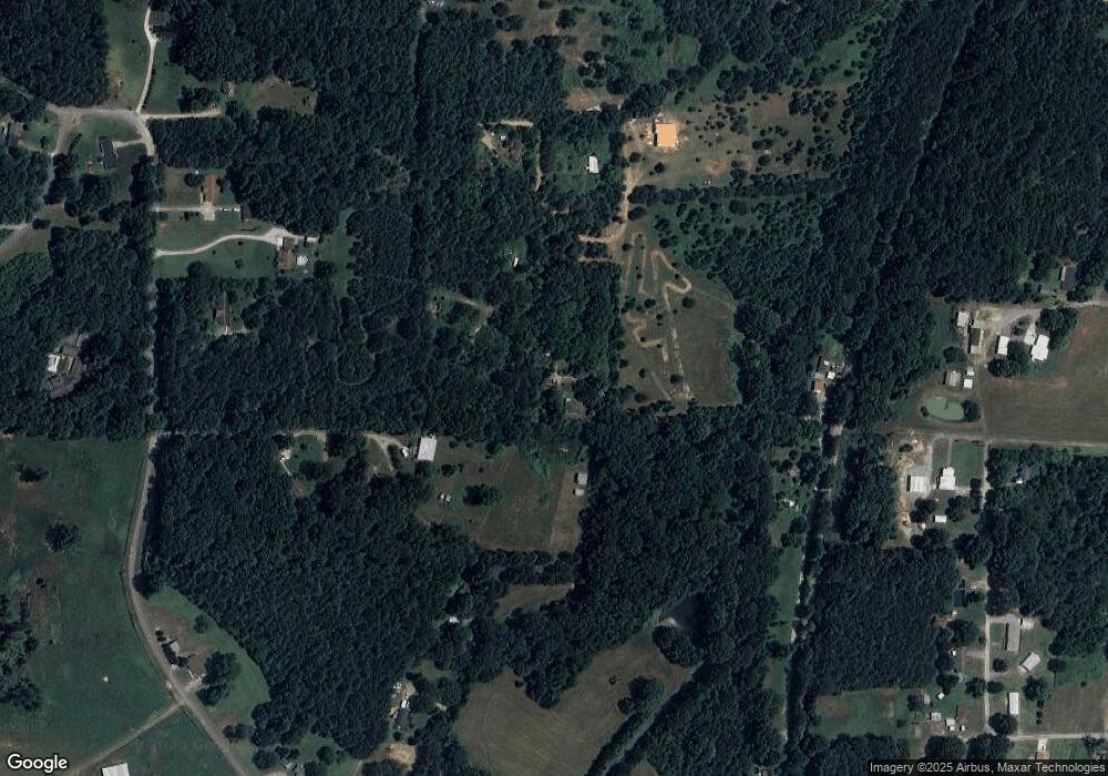
Map
Nearby Homes
- 329 Lynn Trail
- 0 Veeler Rd Unit 1522679
- 0 Veeler Rd Unit 10628696
- 4654 Us Highway 27
- 4582 Highway N 27
- 4544 N Highway 27
- 11 Willow Cir
- The Pearson Plan at Laurel Ridge
- The Benson II Plan at Laurel Ridge
- The Langford Plan at Laurel Ridge
- The Lawson Plan at Laurel Ridge
- The Coleman Plan at Laurel Ridge
- The McGinnis Plan at Laurel Ridge
- The Caldwell Plan at Laurel Ridge
- 16 Willow Cir
- 23 Willow Cir
- 663 Diamond Cir
- 234 Dad Taylor Dr
- 63 Loughridge Ln
- 906 Diamond Cir
- 702 Glass Rd
- 702 Glass Rd Unit A
- 142 David Ward Cir
- 288 Tharp Dr
- 310 Tharp Dr
- 329 Stevens Dr
- 131 Wildwood Trail
- 607 Stevens Dr
- 00 Tharp Dr
- 70 Tharp Dr
- 159 David Ward Cir
- 256 Glass Rd
- 802 Glass Rd
- 0 Tharp Dr Unit 1305652
- 0 Tharp Dr
- 65 Wildwood Trail
- 756 Glass Rd
- 59 Tharp Dr
- 126 Black Circle Spur
- 126 Black Circle Spur