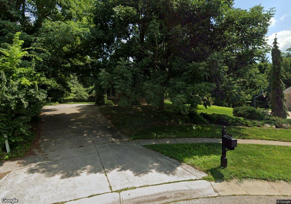
473 Stolle Dr Springboro, OH 45066
Estimated Value: $616,000 - $733,000
4
Beds
3
Baths
3,232
Sq Ft
$204/Sq Ft
Est. Value
About This Home
This home is located at 473 Stolle Dr, Springboro, OH 45066 and is currently estimated at $658,924, approximately $203 per square foot. 473 Stolle Dr is a home located in Warren County with nearby schools including Clearcreek Elementary School, Springboro Intermediate School, and Springboro Junior High School.
Ownership History
Date
Name
Owned For
Owner Type
Purchase Details
Closed on
Apr 10, 2001
Sold by
Union Sav Bank
Bought by
Miller Tim and Miller Donna S
Current Estimated Value
Purchase Details
Closed on
Jul 31, 2000
Sold by
Shr John K Stipancich Pr
Bought by
Union Savings Bank
Purchase Details
Closed on
Jan 18, 2000
Sold by
Colston Building Corp
Bought by
Stipancich John K and Stipancich Amy L
Purchase Details
Closed on
Apr 30, 1999
Sold by
Martin Coffman Dev Co
Bought by
Colston Building Corp
Home Financials for this Owner
Home Financials are based on the most recent Mortgage that was taken out on this home.
Original Mortgage
$340,800
Interest Rate
7.05%
Mortgage Type
New Conventional
Create a Home Valuation Report for This Property
The Home Valuation Report is an in-depth analysis detailing your home's value as well as a comparison with similar homes in the area
Home Values in the Area
Average Home Value in this Area
Purchase History
| Date | Buyer | Sale Price | Title Company |
|---|---|---|---|
| Miller Tim | $74,000 | -- | |
| Union Savings Bank | $40,000 | -- | |
| Stipancich John K | $50,000 | -- | |
| Colston Building Corp | $95,310 | -- |
Source: Public Records
Mortgage History
| Date | Status | Borrower | Loan Amount |
|---|---|---|---|
| Previous Owner | Colston Building Corp | $340,800 |
Source: Public Records
Tax History
| Year | Tax Paid | Tax Assessment Tax Assessment Total Assessment is a certain percentage of the fair market value that is determined by local assessors to be the total taxable value of land and additions on the property. | Land | Improvement |
|---|---|---|---|---|
| 2025 | $8,263 | $211,590 | $32,200 | $179,390 |
| 2024 | $8,263 | $211,590 | $32,200 | $179,390 |
| 2023 | $7,061 | $165,819 | $33,166 | $132,653 |
| 2022 | $6,993 | $165,820 | $33,166 | $132,654 |
| 2021 | $6,475 | $165,820 | $33,166 | $132,654 |
| 2020 | $7,190 | $160,990 | $32,200 | $128,790 |
| 2019 | $6,629 | $160,990 | $32,200 | $128,790 |
| 2018 | $6,634 | $160,990 | $32,200 | $128,790 |
| 2017 | $6,278 | $137,239 | $26,894 | $110,345 |
| 2016 | $6,548 | $137,239 | $26,894 | $110,345 |
| 2015 | $6,562 | $137,239 | $26,894 | $110,345 |
| 2014 | $6,927 | $137,240 | $26,890 | $110,340 |
| 2013 | $6,922 | $164,320 | $32,200 | $132,120 |
Source: Public Records
Map
Nearby Homes
- 250 Ballard Dr
- 80 Gregg Ct
- 25 Glass Ct
- 85 Meadows Dr
- 1315 Woodland Greens Blvd
- 123 Rippling Brook Ln
- 195 Oasis Ct
- 136 Waterhaven Way
- 92 Villa Pointe Dr Unit 92
- 50 Millard Ct
- 160 Old Pond Rd
- 44 Old Pond Rd
- 10084 Gully Pass Dr Unit 248
- 10084 Gully Pass Dr
- 10213 Gully Pass Dr Unit 251
- 10109 Gully Pass Dr Unit 250
- 108 Old Pond Rd
- 6 Waterlily Dr
- 10152 Gully Pass Dr
- 2002 Glen Valley Dr
- 469 Stolle Dr
- 477 Stolle Dr
- 445 E Manor Dr
- 405 E Manor Dr
- 465 Stolle Dr
- 385 E Manor Dr
- 485 E Manor Dr
- 483 Stolle Dr
- 35 Stonebrook Ct
- 45 Stonebrook Ct
- 25 Stonebrook Ct
- 365 E Manor Dr
- 470 Stolle Dr
- 455 Stolle Dr
- 15 Stonebrook Ct
- 490 E Manor Dr
- 489 Stolle Dr
- 345 E Manor Dr
- 50 Stonebrook Ct
- 37 Stonebridge
Your Personal Tour Guide
Ask me questions while you tour the home.