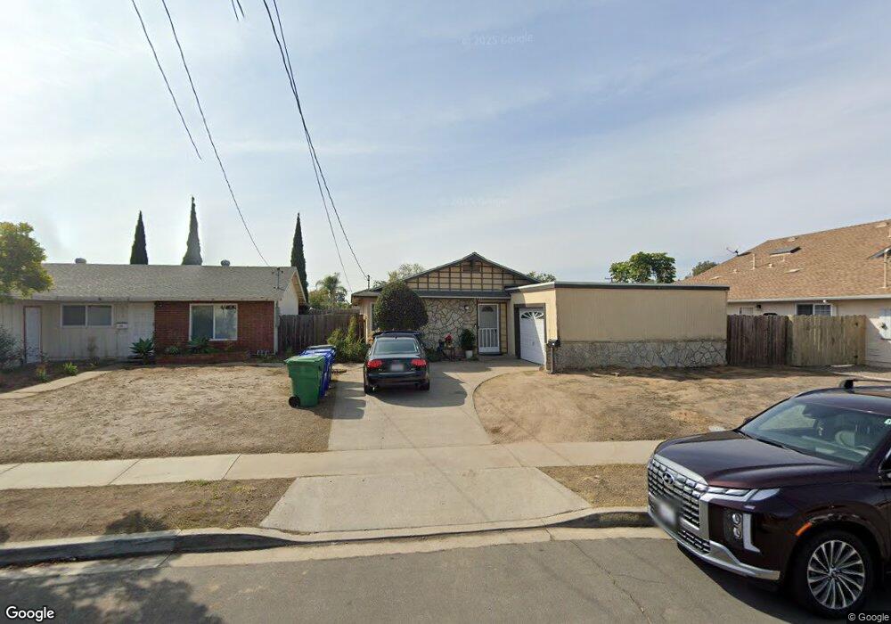
4731 Pauling Ave San Diego, CA 92122
University City NeighborhoodEstimated Value: $1,362,401 - $1,574,000
4
Beds
2
Baths
1,400
Sq Ft
$1,062/Sq Ft
Est. Value
About This Home
This home is located at 4731 Pauling Ave, San Diego, CA 92122 and is currently estimated at $1,487,350, approximately $1,062 per square foot. 4731 Pauling Ave is a home located in San Diego County with nearby schools including Marie Curie Elementary School, Standley Middle School, and University City High School.
Ownership History
Date
Name
Owned For
Owner Type
Purchase Details
Closed on
May 3, 2022
Sold by
Living Trust
Bought by
Mariano Marilu Acierto
Current Estimated Value
Purchase Details
Closed on
Aug 27, 2021
Sold by
Mariano Marilu Acierto and The Living Trust Of Amelia M A
Bought by
Mariano Marilu Acierto
Purchase Details
Closed on
Jan 23, 2021
Sold by
Acierto Amelia M
Bought by
Living Trust
Create a Home Valuation Report for This Property
The Home Valuation Report is an in-depth analysis detailing your home's value as well as a comparison with similar homes in the area
Home Values in the Area
Average Home Value in this Area
Purchase History
| Date | Buyer | Sale Price | Title Company |
|---|---|---|---|
| Mariano Marilu Acierto | -- | None Listed On Document | |
| Mariano Marilu Acierto | -- | None Available | |
| Living Trust | -- | None Listed On Document |
Source: Public Records
Tax History Compared to Growth
Tax History
| Year | Tax Paid | Tax Assessment Tax Assessment Total Assessment is a certain percentage of the fair market value that is determined by local assessors to be the total taxable value of land and additions on the property. | Land | Improvement |
|---|---|---|---|---|
| 2025 | $12,173 | $1,008,147 | $848,966 | $159,181 |
| 2024 | $12,173 | $988,380 | $832,320 | $156,060 |
| 2023 | $952 | $74,997 | $24,839 | $50,158 |
| 2022 | $927 | $73,527 | $24,352 | $49,175 |
| 2021 | $921 | $72,086 | $23,875 | $48,211 |
| 2020 | $910 | $71,348 | $23,631 | $47,717 |
| 2019 | $895 | $69,950 | $23,168 | $46,782 |
| 2018 | $838 | $68,579 | $22,714 | $45,865 |
| 2017 | $818 | $67,235 | $22,269 | $44,966 |
| 2016 | $804 | $65,918 | $21,833 | $44,085 |
| 2015 | $792 | $64,929 | $21,506 | $43,423 |
| 2014 | $781 | $63,658 | $21,085 | $42,573 |
Source: Public Records
Map
Nearby Homes
- 7056 Haworth St
- 4635 Pauling Ave
- 7212 Florey St
- 4627 Huggins St
- 4612 Benhurst Ave
- 4282 Robbins St
- 7190 Shoreline Dr Unit 6313
- 4224 Governor Dr
- 7160 Shoreline Dr Unit 4213
- 6214 Agee St Unit 34
- 6188 Agee St Unit 230
- 7224 Shoreline Dr Unit 172
- 6190 Agee St Unit 260
- 6330 Genesee Ave Unit 319
- 6330 Genesee Ave Unit 220
- 6330 Genesee Ave Unit 119
- 6330 Genesee Ave Unit 112
- 6330 Genesee Ave Unit 213
- 6350 Genesee Ave Unit 107
- 6330 Genesee Ave Unit 103
- 4737 Pauling Ave
- 4725 Pauling Ave
- 4646 Ramsay Ave
- 4743 Pauling Ave
- 4656 Ramsay Ave
- 4636 Ramsay Ave
- 4666 Ramsay Ave
- 4728 Pauling Ave
- 4749 Pauling Ave
- 4738 Pauling Ave
- 4722 Pauling Ave
- 4744 Pauling Ave
- 4676 Ramsay Ave
- 7146 Haworth St
- 4755 Pauling Ave
- 7132 Haworth St
- 4716 Pauling Ave
- 7118 Haworth St
- 4704 Ramsay Ave
- 7104 Haworth St