Estimated Value: $513,035 - $723,000
--
Bed
2
Baths
2,059
Sq Ft
$283/Sq Ft
Est. Value
About This Home
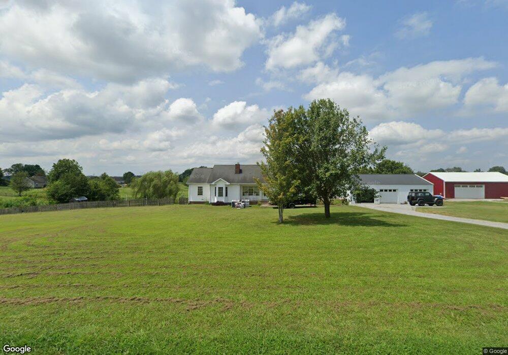
This home is located at 4738 S Qualls Rd, Adams, TN 37010 and is currently estimated at $583,678, approximately $283 per square foot. 4738 S Qualls Rd is a home located in Robertson County with nearby schools including Jo Byrns Elementary School and Jo Byrns High School.
Ownership History
Date
Name
Owned For
Owner Type
Purchase Details
Closed on
Dec 31, 2001
Sold by
Spain J T
Bought by
Fleming Elmer H
Current Estimated Value
Home Financials for this Owner
Home Financials are based on the most recent Mortgage that was taken out on this home.
Original Mortgage
$159,630
Interest Rate
6.99%
Mortgage Type
VA
Purchase Details
Closed on
Apr 5, 2001
Bought by
Spain J T J and Spain Barbara
Purchase Details
Closed on
Aug 11, 2000
Sold by
Moss George W
Bought by
Miller Merle G and Miller Beverly A
Purchase Details
Closed on
Mar 3, 2000
Sold by
Obera Johnson
Bought by
Moss George W
Purchase Details
Closed on
Sep 9, 1999
Sold by
Obera Johnson
Bought by
Holt Marvin E and Holt Margie C
Create a Home Valuation Report for This Property
The Home Valuation Report is an in-depth analysis detailing your home's value as well as a comparison with similar homes in the area
Home Values in the Area
Average Home Value in this Area
Purchase History
| Date | Buyer | Sale Price | Title Company |
|---|---|---|---|
| Fleming Elmer H | $156,500 | -- | |
| Spain J T J | $18,600 | -- | |
| Miller Merle G | $31,000 | -- | |
| Moss George W | $20,000 | -- | |
| Holt Marvin E | $5,000 | -- |
Source: Public Records
Mortgage History
| Date | Status | Borrower | Loan Amount |
|---|---|---|---|
| Closed | Holt Marvin E | $159,630 |
Source: Public Records
Tax History Compared to Growth
Tax History
| Year | Tax Paid | Tax Assessment Tax Assessment Total Assessment is a certain percentage of the fair market value that is determined by local assessors to be the total taxable value of land and additions on the property. | Land | Improvement |
|---|---|---|---|---|
| 2025 | $1,875 | $104,175 | $0 | $0 |
| 2024 | $1,875 | $104,175 | $20,550 | $83,625 |
| 2023 | $1,875 | $104,175 | $20,550 | $83,625 |
| 2022 | $1,774 | $68,875 | $8,225 | $60,650 |
| 2021 | $1,774 | $68,875 | $8,225 | $60,650 |
| 2020 | $1,774 | $68,875 | $8,225 | $60,650 |
| 2019 | $1,774 | $68,875 | $8,225 | $60,650 |
| 2018 | $1,774 | $68,875 | $8,225 | $60,650 |
| 2017 | $1,920 | $62,250 | $7,225 | $55,025 |
| 2016 | $1,772 | $57,425 | $7,225 | $50,200 |
| 2015 | $1,700 | $57,425 | $7,225 | $50,200 |
| 2014 | $1,700 | $57,425 | $7,225 | $50,200 |
Source: Public Records
Map
Nearby Homes
- 5016 Caney Sink Rd
- 104 E Pond St
- 1986 Route 76
- 205 Maple St
- 7898 Highway 41 N
- 3799 Harmony Church Rd
- 1015 Landing Lane Lot 1
- 1035 Landing Lane Lot 2
- 1047 Landing Lane Lot 3
- 125 Miramare Way
- 2142 Trieste Trail
- 0 W Bellar Rd
- 0 Port Royal Unit RTC2976722
- 0 Port Royal Unit RTC2926688
- 230 Hall Ct
- 4941 Bill Baggett Rd
- 4945 Bill Baggett Rd
- 6841 Highway 41 N
- 0 Chester Rd
- 234 Railroad St
- 4750 S Qualls Rd
- 4739 S Qualls Rd
- 4755 S Qualls Rd
- 1896 Port Royal Rd
- 4764 S Qualls Rd
- 1882 Port Royal Rd
- 4778 S Qualls Rd
- 1846 Port Royal Rd
- 1874 Port Royal Rd
- 4783 S Qualls Rd
- 1950 Port Royal Rd
- 1840 Port Royal Rd
- 4769 S Qualls Rd
- 4796 S Qualls Rd
- 1848 Port Royal Rd
- 1768 Port Royal Rd
- 4864 S Qualls Rd
- 4866 S Qualls Rd
- 6778 S Qualls Rd
- 4867 S Qualls Rd