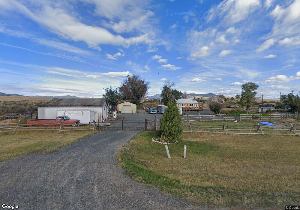
474 Mt Highway 2 W Whitehall, MT 59759
Estimated Value: $332,000 - $524,000
2
Beds
1
Bath
952
Sq Ft
$444/Sq Ft
Est. Value
About This Home
This home is located at 474 Mt Highway 2 W, Whitehall, MT 59759 and is currently estimated at $422,675, approximately $443 per square foot. 474 Mt Highway 2 W is a home located in Jefferson County with nearby schools including Whitehall Elementary School, Whitehall Middle School, and Whitehall High School.
Ownership History
Date
Name
Owned For
Owner Type
Purchase Details
Closed on
Jul 20, 2022
Sold by
Mh Taber Jill
Bought by
Taber Jill Mh
Current Estimated Value
Purchase Details
Closed on
Dec 15, 2009
Sold by
Lombardi David and Lombardi Charlotte
Bought by
Nielsen Travis and Nielsen Karen
Home Financials for this Owner
Home Financials are based on the most recent Mortgage that was taken out on this home.
Original Mortgage
$126,020
Interest Rate
4.88%
Mortgage Type
New Conventional
Create a Home Valuation Report for This Property
The Home Valuation Report is an in-depth analysis detailing your home's value as well as a comparison with similar homes in the area
Purchase History
| Date | Buyer | Sale Price | Title Company |
|---|---|---|---|
| Taber Jill Mh | -- | Neilson Swanson Dietrich Pllc | |
| Nielsen Travis | -- | Rocky Mtn Title & Insured Cl |
Source: Public Records
Mortgage History
| Date | Status | Borrower | Loan Amount |
|---|---|---|---|
| Previous Owner | Nielsen Travis | $126,020 |
Source: Public Records
Tax History
| Year | Tax Paid | Tax Assessment Tax Assessment Total Assessment is a certain percentage of the fair market value that is determined by local assessors to be the total taxable value of land and additions on the property. | Land | Improvement |
|---|---|---|---|---|
| 2025 | $1,727 | $406,043 | $0 | $0 |
| 2024 | $1,764 | $271,200 | $0 | $0 |
| 2023 | $1,803 | $271,200 | $0 | $0 |
| 2022 | $1,223 | $149,100 | $0 | $0 |
| 2021 | $992 | $149,100 | $0 | $0 |
| 2020 | $988 | $119,030 | $0 | $0 |
| 2019 | $981 | $119,030 | $0 | $0 |
| 2018 | $928 | $109,500 | $0 | $0 |
| 2017 | $669 | $105,400 | $0 | $0 |
| 2016 | $877 | $114,900 | $0 | $0 |
| 2015 | $754 | $114,900 | $0 | $0 |
| 2014 | $514 | $44,936 | $0 | $0 |
Source: Public Records
Map
Nearby Homes
- 1043 Montana 55
- 1 Bonanza Place
- TBD Friendspring Rd
- 27 N Centurion Way
- 842 Mt Highway 2 W
- 201 S Brooke St
- 304 N Brooke St
- 12 N Division St
- 130 Parrot Castle Rd
- 217 N Jefferson St
- 27 Sugar Beet Row
- 309 1st St E
- 4 Rocky Mountain Dr
- 10 Lower Rader Creek Rd
- 10 Miners Hill Rd
- 10 Honor Ln
- 180 Lower Rader Creek Rd
- TBD Sheep Camp Rd
- 117 Yellowstone Trail
- 131 Yellowstone Trail
- 470 Mt Highway 2 W
- 462 Montana 2
- 430 Mt Highway 2 W
- 66 Edwards Addition
- 0 Tbd N Centurion Way Unit 339680
- 28 Edwards Addition
- 96 Edwards Addition
- 11 Davis Rd
- 110 Edwards Addition
- 21 Davis Rd
- 38 Edwards Tract
- 38 Edwards Addition
- 10 Edwards Addition
- 45 Pipestone Rd
- 125 Pipestone Rd
- 24 Davis Rd
- 3 Brazil Ln
Your Personal Tour Guide
Ask me questions while you tour the home.