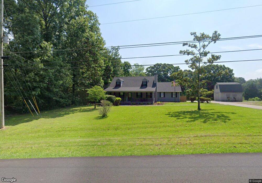
474 Smitherman Rd Ringgold, GA 30736
Estimated Value: $274,810 - $340,000
Studio
3
Baths
1,995
Sq Ft
$156/Sq Ft
Est. Value
About This Home
This home is located at 474 Smitherman Rd, Ringgold, GA 30736 and is currently estimated at $311,203, approximately $155 per square foot. 474 Smitherman Rd is a home located in Catoosa County with nearby schools including Ringgold Primary School, Ringgold Elementary School, and Ringgold Middle School.
Ownership History
Date
Name
Owned For
Owner Type
Purchase Details
Closed on
Nov 4, 2021
Sold by
Tawbush Diane
Bought by
Williams Patrick Cole and Hullender Larry Labron
Current Estimated Value
Home Financials for this Owner
Home Financials are based on the most recent Mortgage that was taken out on this home.
Original Mortgage
$186,558
Outstanding Balance
$170,202
Interest Rate
2.99%
Mortgage Type
FHA
Estimated Equity
$141,001
Purchase Details
Closed on
Jul 19, 2012
Sold by
Owen Leslie C
Bought by
Tawbush Diane
Purchase Details
Closed on
Jun 2, 1978
Sold by
Owen Leslie C
Bought by
Owen Leslie C
Purchase Details
Closed on
Jun 1, 1978
Bought by
Owen Leslie C
Create a Home Valuation Report for This Property
The Home Valuation Report is an in-depth analysis detailing your home's value as well as a comparison with similar homes in the area
Home Values in the Area
Average Home Value in this Area
Purchase History
| Date | Buyer | Sale Price | Title Company |
|---|---|---|---|
| Williams Patrick Cole | $190,000 | -- | |
| Tawbush Diane | -- | -- | |
| Owen Leslie C | -- | -- | |
| Owen Leslie C | $3,000 | -- |
Source: Public Records
Mortgage History
| Date | Status | Borrower | Loan Amount |
|---|---|---|---|
| Open | Williams Patrick Cole | $186,558 |
Source: Public Records
Tax History Compared to Growth
Tax History
| Year | Tax Paid | Tax Assessment Tax Assessment Total Assessment is a certain percentage of the fair market value that is determined by local assessors to be the total taxable value of land and additions on the property. | Land | Improvement |
|---|---|---|---|---|
| 2024 | $2,659 | $124,676 | $17,570 | $107,106 |
| 2023 | $2,176 | $97,194 | $17,570 | $79,624 |
| 2022 | $1,701 | $78,419 | $17,570 | $60,849 |
| 2021 | $434 | $78,419 | $17,570 | $60,849 |
| 2020 | $1,368 | $59,110 | $7,234 | $51,876 |
| 2019 | $357 | $59,110 | $7,234 | $51,876 |
| 2018 | $1,460 | $59,110 | $7,234 | $51,876 |
| 2017 | $380 | $58,622 | $7,234 | $51,388 |
| 2016 | $381 | $54,191 | $6,576 | $47,614 |
| 2015 | -- | $54,191 | $6,576 | $47,614 |
| 2014 | -- | $56,098 | $8,484 | $47,614 |
| 2013 | -- | $51,128 | $8,484 | $42,644 |
Source: Public Records
Map
Nearby Homes
- 725 Smitherman Rd
- 0 Sutton Dr Unit 1515453
- 11 Hickory Ridge Trail
- 219 Hickory Ridge Trail
- 118 Dusty Ridge Trail
- 774 Woodgate Rd
- 43 Tipton Dr
- 19 Bright Ln
- 221 Hickory St
- 302 Shannon Dr
- 254 Pine St
- 39 Joyce Ct
- 66 Edgemond Cir
- 182 Hickory Dr
- 457 Hickory Cir
- 231 Hickory Dr
- 37 Robert e Lee Dr
- 0 Morrison Ln Unit 1522310
- 0 Maple Way Unit 1514937
- 294 Hickory Dr
- 440 Smitherman Rd
- 506 Smitherman Rd
- 107 Debra Ln
- 414 Smitherman Rd
- 414 Smitherman Rd Unit 2
- 420 Smitherman Rd Unit 1
- 420 Smitherman Rd
- 420 Smitherman Rd Unit B
- 420 Smitherman Rd Unit A
- 443 Smitherman Rd
- 142 Debra Ln
- 529 Smitherman Rd
- 95 Debra Ln
- 63 Debra Ln
- 578 Smitherman Rd
- 66 Debra Ln
- 447 Sutton Dr
- 279 Clara Dr
- 231 Clara Dr
- 385 Smitherman Rd