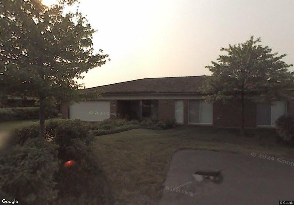
474 Taupo Ln Deerfield, IL 60015
Estimated Value: $716,000 - $873,000
4
Beds
3
Baths
2,666
Sq Ft
$311/Sq Ft
Est. Value
About This Home
This home is located at 474 Taupo Ln, Deerfield, IL 60015 and is currently estimated at $827,876, approximately $310 per square foot. 474 Taupo Ln is a home located in Lake County with nearby schools including South Park Elementary School, Charles J Caruso Middle School, and Deerfield High School.
Ownership History
Date
Name
Owned For
Owner Type
Purchase Details
Closed on
Aug 6, 1998
Sold by
American National Bk & Tr Co Of Chicago
Bought by
Jutovsky Lawrence and Jutovsky Judith A
Current Estimated Value
Home Financials for this Owner
Home Financials are based on the most recent Mortgage that was taken out on this home.
Original Mortgage
$227,000
Outstanding Balance
$41,591
Interest Rate
5.5%
Estimated Equity
$786,285
Create a Home Valuation Report for This Property
The Home Valuation Report is an in-depth analysis detailing your home's value as well as a comparison with similar homes in the area
Home Values in the Area
Average Home Value in this Area
Purchase History
| Date | Buyer | Sale Price | Title Company |
|---|---|---|---|
| Jutovsky Lawrence | $445,000 | Chicago Title Insurance Co |
Source: Public Records
Mortgage History
| Date | Status | Borrower | Loan Amount |
|---|---|---|---|
| Open | Jutovsky Lawrence | $227,000 |
Source: Public Records
Tax History Compared to Growth
Tax History
| Year | Tax Paid | Tax Assessment Tax Assessment Total Assessment is a certain percentage of the fair market value that is determined by local assessors to be the total taxable value of land and additions on the property. | Land | Improvement |
|---|---|---|---|---|
| 2024 | $19,977 | $237,868 | $38,499 | $199,369 |
| 2023 | $18,921 | $228,280 | $36,947 | $191,333 |
| 2022 | $18,921 | $210,707 | $30,462 | $180,245 |
| 2021 | $17,836 | $203,149 | $29,369 | $173,780 |
| 2020 | $17,154 | $203,577 | $29,431 | $174,146 |
| 2019 | $16,766 | $203,231 | $29,381 | $173,850 |
| 2018 | $15,761 | $206,912 | $31,140 | $175,772 |
| 2017 | $16,263 | $206,252 | $31,041 | $175,211 |
| 2016 | $15,802 | $198,453 | $29,867 | $168,586 |
| 2015 | $15,456 | $186,464 | $28,063 | $158,401 |
| 2014 | $15,914 | $189,121 | $28,264 | $160,857 |
| 2012 | $15,625 | $187,453 | $28,015 | $159,438 |
Source: Public Records
Map
Nearby Homes
- 361 Kelburn Rd Unit 316
- 372 Kelburn Rd Unit 313
- 382 Kelburn Rd Unit 122
- 679 Central Ave
- 630 Hermitage Dr
- 441 Elm St Unit 3A
- 610 Robert York Ave Unit 104
- 757 Kipling Place
- 956 Brookside Ln
- 1009 Central Ave
- 860 Kenton Rd
- 1038 Brookside Ln
- 717 Brierhill Rd
- 505 Margate Terrace
- 805 Brand Ln
- 312 Pine St
- 745 Price Ln
- 904 Forest Ave
- 49 Larkdale Rd
- 75 Mulberry Rd