4741 Peaceful Ridge Rd Redding, CA 96001
Branstetter NeighborhoodEstimated Value: $425,000 - $870,000
7
Beds
4
Baths
3,850
Sq Ft
$159/Sq Ft
Est. Value
About This Home
This home is located at 4741 Peaceful Ridge Rd, Redding, CA 96001 and is currently estimated at $613,635, approximately $159 per square foot. 4741 Peaceful Ridge Rd is a home located in Shasta County with nearby schools including Sycamore Elementary School, Sequoia Middle School, and Shasta High School.
Ownership History
Date
Name
Owned For
Owner Type
Purchase Details
Closed on
Jul 7, 2025
Sold by
Ritchie Daniel M and Ritchie Lori A
Bought by
Daniel And Lori Ritchie Living Trust and Ritchie
Current Estimated Value
Purchase Details
Closed on
Jun 4, 2002
Sold by
Martin Ed and Martin Ruth C
Bought by
Ritchie Daniel and Ritchie Lori
Create a Home Valuation Report for This Property
The Home Valuation Report is an in-depth analysis detailing your home's value as well as a comparison with similar homes in the area
Home Values in the Area
Average Home Value in this Area
Purchase History
| Date | Buyer | Sale Price | Title Company |
|---|---|---|---|
| Daniel And Lori Ritchie Living Trust | -- | None Listed On Document | |
| Ritchie Daniel | $34,500 | Chicago Title Co |
Source: Public Records
Tax History
| Year | Tax Paid | Tax Assessment Tax Assessment Total Assessment is a certain percentage of the fair market value that is determined by local assessors to be the total taxable value of land and additions on the property. | Land | Improvement |
|---|---|---|---|---|
| 2025 | $4,947 | $478,267 | $50,952 | $427,315 |
| 2024 | $4,873 | $468,890 | $49,953 | $418,937 |
| 2023 | $4,873 | $459,697 | $48,974 | $410,723 |
| 2022 | $4,791 | $450,684 | $48,014 | $402,670 |
| 2021 | $4,769 | $441,848 | $47,073 | $394,775 |
| 2020 | $4,834 | $437,319 | $46,591 | $390,728 |
| 2019 | $4,588 | $428,745 | $45,678 | $383,067 |
| 2018 | $5,110 | $471,339 | $44,783 | $426,556 |
| 2017 | $4,432 | $403,274 | $43,905 | $359,369 |
| 2016 | $4,290 | $395,368 | $43,045 | $352,323 |
| 2015 | $4,234 | $389,430 | $42,399 | $347,031 |
| 2014 | $4,205 | $381,803 | $41,569 | $340,234 |
Source: Public Records
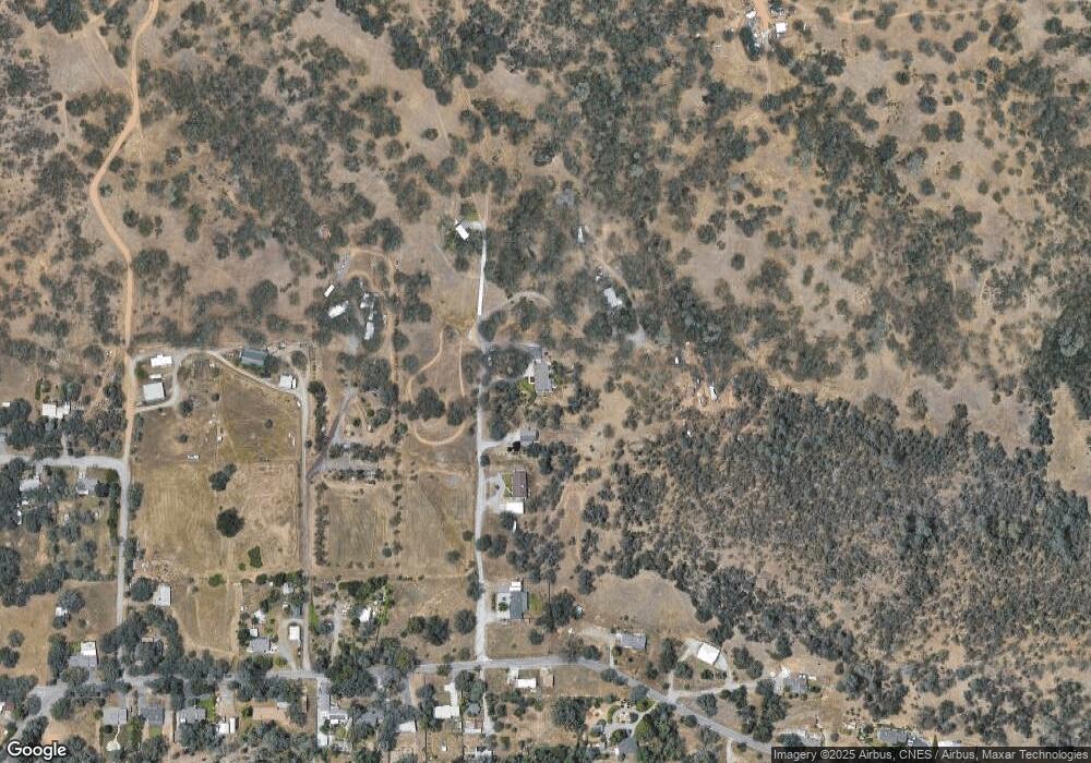
Map
Nearby Homes
- 57 Cooper Dr
- 764 Branstetter Ln
- 4720 Enchanted Way
- 4525 Enchanted Way
- 4410 Melody Ln
- 4125 Sunglow Dr
- 4200 Sunglow Dr
- 4235 Sunglow Dr
- 4175 Sunglow Dr
- 1400 Riviera Dr
- 4365 Heather Ridge Ln
- 1330 Scenic Way
- 4165 Sunglow Dr
- 2995 Howard Dr
- 2794 Summerbreeze Place
- 4368 Wild Flower Way
- 2350 Puma Trail
- 2415 Marion Ct
- 4212 Sungold Cir
- 5812 Cedars Rd Unit 43
- 4587 Peaceful Ridge Rd
- 4855 Peaceful Ridge Rd
- 4855 Peaceful Ridge Rd
- 4781 Peaceful Ridge Rd
- 438 Branstetter Ln
- 520 Branstetter Ln
- 4861 Kiowa Rd
- 272 Branstetter Ln
- 530 Branstetter Ln
- 391 Branstetter Ln
- 375 Branstetter Ln
- 539 Branstetter Ln
- 365 Branstetter Ln
- 270 Branstetter Ln
- 345 Branstetter Ln
- 580 Branstetter Ln
- 329 Branstetter Ln
- 289 Branstetter Ln
- 542 Branstetter Ln
- 13 Kiowa Rd
Your Personal Tour Guide
Ask me questions while you tour the home.