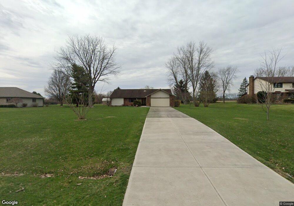
4743 Bolin Ave Springfield, OH 45502
Estimated Value: $311,970 - $461,000
3
Beds
2
Baths
2,092
Sq Ft
$184/Sq Ft
Est. Value
About This Home
This home is located at 4743 Bolin Ave, Springfield, OH 45502 and is currently estimated at $384,493, approximately $183 per square foot. 4743 Bolin Ave is a home located in Clark County with nearby schools including Greenon Elementary School, Greenon Jr. High School, and Greenon High School.
Ownership History
Date
Name
Owned For
Owner Type
Purchase Details
Closed on
Sep 28, 1995
Sold by
Cameron Joseph G
Bought by
Amsden Dale E
Current Estimated Value
Home Financials for this Owner
Home Financials are based on the most recent Mortgage that was taken out on this home.
Original Mortgage
$139,050
Interest Rate
8%
Mortgage Type
VA
Purchase Details
Closed on
Oct 13, 1992
Create a Home Valuation Report for This Property
The Home Valuation Report is an in-depth analysis detailing your home's value as well as a comparison with similar homes in the area
Purchase History
| Date | Buyer | Sale Price | Title Company |
|---|---|---|---|
| Amsden Dale E | $135,000 | -- | |
| -- | $115,000 | -- |
Source: Public Records
Mortgage History
| Date | Status | Borrower | Loan Amount |
|---|---|---|---|
| Closed | Amsden Dale E | $139,050 |
Source: Public Records
Tax History
| Year | Tax Paid | Tax Assessment Tax Assessment Total Assessment is a certain percentage of the fair market value that is determined by local assessors to be the total taxable value of land and additions on the property. | Land | Improvement |
|---|---|---|---|---|
| 2025 | $4,023 | $110,650 | $25,200 | $85,450 |
| 2024 | $3,930 | $73,550 | $21,700 | $51,850 |
| 2023 | $3,930 | $73,550 | $21,700 | $51,850 |
| 2022 | $3,926 | $73,550 | $21,700 | $51,850 |
| 2021 | $3,861 | $64,140 | $17,640 | $46,500 |
| 2020 | $3,871 | $64,140 | $17,640 | $46,500 |
| 2019 | $3,924 | $64,140 | $17,640 | $46,500 |
| 2018 | $3,576 | $57,130 | $17,640 | $39,490 |
| 2017 | $3,584 | $71,520 | $17,644 | $53,876 |
| 2016 | $3,133 | $71,520 | $17,644 | $53,876 |
| 2015 | $3,584 | $71,520 | $17,644 | $53,876 |
| 2014 | $3,591 | $71,520 | $17,644 | $53,876 |
| 2013 | $3,169 | $76,556 | $22,680 | $53,876 |
Source: Public Records
Map
Nearby Homes
- 5152 S Tecumseh Rd
- 1010 Meadow Lark Dr
- 3864 Quailhollow Ct
- 199 Fairfield Pike
- 6250 Fairfield Pike
- 41 W Hunter Dr
- 2925 S Tecumseh Rd
- 4538 Cynthia Dr
- 4200 Phillips St
- 6788 Ginger Ave
- 3628-3642 Charlotte Dr
- 3644-3650 Charlotte Dr
- Tract 2 W Jackson Rd
- 3611-3625 Charlotte Dr
- 6937 Tall Timber Trail
- 5463 Enon-Xenia Rd
- 141 N Xenia Dr
- 0 Enon-Xenia Rd
- 4311 Lone Wolf Ave
- 3190 Rebert Pike
- 4725 Bolin Ave
- 4777 Bolin Ave
- 4695 Bolin Ave
- 4805 Bolin Ave
- 4746 Bolin Ave
- 4944 Riley Rd
- 4726 Bolin Ave
- 4645 Bolin Ave
- 4690 Bolin Ave
- 4955 Riley Rd
- 4912 Riley Rd
- 4644 Bolin Ave
- 4623 Bolin Ave
- 4943 Riley Rd
- 4741 Echo Hills Ave
- 4890 Riley Rd
- 4723 Echo Hills Ave
- 4915 Riley Rd
- 4626 Bolin Ave
- 4697 Echo Hills Ave
Your Personal Tour Guide
Ask me questions while you tour the home.