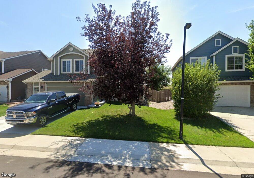
4744 Sutton St Castle Rock, CO 80104
Founders Village NeighborhoodEstimated Value: $572,605 - $608,000
3
Beds
3
Baths
2,159
Sq Ft
$271/Sq Ft
Est. Value
About This Home
This home is located at 4744 Sutton St, Castle Rock, CO 80104 and is currently estimated at $584,401, approximately $270 per square foot. 4744 Sutton St is a home located in Douglas County with nearby schools including Rock Ridge Elementary School, Mesa Middle School, and Douglas County High School.
Ownership History
Date
Name
Owned For
Owner Type
Purchase Details
Closed on
Oct 20, 2000
Sold by
Engle Homes Colorado Inc
Bought by
Anderson David R and Anderson Kristie A
Current Estimated Value
Home Financials for this Owner
Home Financials are based on the most recent Mortgage that was taken out on this home.
Original Mortgage
$126,000
Outstanding Balance
$46,049
Interest Rate
7.95%
Estimated Equity
$538,352
Purchase Details
Closed on
Dec 3, 1999
Sold by
Sdm/Adm Co
Bought by
Engle Homes Colo Inc
Create a Home Valuation Report for This Property
The Home Valuation Report is an in-depth analysis detailing your home's value as well as a comparison with similar homes in the area
Home Values in the Area
Average Home Value in this Area
Purchase History
| Date | Buyer | Sale Price | Title Company |
|---|---|---|---|
| Anderson David R | $202,759 | Universal Land Title | |
| Engle Homes Colo Inc | $504,000 | -- |
Source: Public Records
Mortgage History
| Date | Status | Borrower | Loan Amount |
|---|---|---|---|
| Open | Anderson David R | $126,000 |
Source: Public Records
Tax History Compared to Growth
Tax History
| Year | Tax Paid | Tax Assessment Tax Assessment Total Assessment is a certain percentage of the fair market value that is determined by local assessors to be the total taxable value of land and additions on the property. | Land | Improvement |
|---|---|---|---|---|
| 2024 | $6,142 | $41,080 | $8,670 | $32,410 |
| 2023 | $6,178 | $41,080 | $8,670 | $32,410 |
| 2022 | $4,628 | $29,230 | $6,370 | $22,860 |
| 2021 | $4,716 | $29,230 | $6,370 | $22,860 |
| 2020 | $4,473 | $28,550 | $5,360 | $23,190 |
| 2019 | $4,475 | $28,550 | $5,360 | $23,190 |
| 2018 | $3,871 | $24,510 | $4,140 | $20,370 |
| 2017 | $3,726 | $24,510 | $4,140 | $20,370 |
| 2016 | $3,279 | $22,520 | $3,990 | $18,530 |
| 2015 | $3,321 | $22,520 | $3,990 | $18,530 |
| 2014 | $2,575 | $16,760 | $3,420 | $13,340 |
Source: Public Records
Map
Nearby Homes
- 378 Benton St
- 321 Lockwood St
- 4590 Wakefield Ave
- 510 Fairhaven St
- 4372 E Andover Ave
- 630 Fairhaven St
- 149 S Pembrook St
- 176 S Pembrook St
- 5133 E Essex Ave
- 5181 Devon Ave
- 576 S Lindsey St
- NA Ridge Rd
- 596 S Lindsey St
- 5282 Devon Ave
- 1005 Parsons Ave
- 4947 Stoneham Ave
- 1025 S Lindsey St
- 5230 E Kensington Ave
- 1183 Parsons Ave
- 4937 Parsons Way
- 4766 Sutton St
- 4722 Sutton St
- 4788 Sutton St
- 4700 Sutton St
- 4739 Sutton St
- 4757 Sutton St
- 409 Lockwood St
- 4810 Sutton St
- 4777 Sutton St
- 389 Lockwood St
- 4803 Sutton St
- 475 Hampstead Ave
- 4826 Sutton St
- 4732 Coker Ave
- 4755 Coker Ave
- 448 Benton St
- 367 Lockwood St
- 495 Hampstead Ave
- 428 Benton St
- 4825 Sutton St