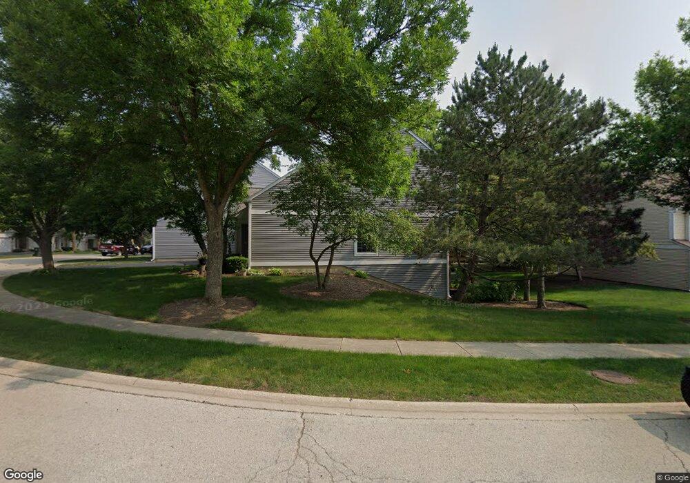
4745 Amber Cir Hoffman Estates, IL 60192
South Ridge NeighborhoodEstimated Value: $381,000 - $435,000
2
Beds
3
Baths
1,736
Sq Ft
$233/Sq Ft
Est. Value
About This Home
This home is located at 4745 Amber Cir, Hoffman Estates, IL 60192 and is currently estimated at $404,855, approximately $233 per square foot. 4745 Amber Cir is a home located in Cook County with nearby schools including Thomas Jefferson Elementary School, Frank C. Whiteley Elementary School, and William Fremd High School.
Ownership History
Date
Name
Owned For
Owner Type
Purchase Details
Closed on
Apr 28, 1998
Sold by
Missimer Wade F and Missimer Elizabeth J
Bought by
Perry Charles E and Perry Maryellen A
Current Estimated Value
Home Financials for this Owner
Home Financials are based on the most recent Mortgage that was taken out on this home.
Original Mortgage
$168,000
Outstanding Balance
$29,441
Interest Rate
7.25%
Estimated Equity
$375,414
Create a Home Valuation Report for This Property
The Home Valuation Report is an in-depth analysis detailing your home's value as well as a comparison with similar homes in the area
Home Values in the Area
Average Home Value in this Area
Purchase History
| Date | Buyer | Sale Price | Title Company |
|---|---|---|---|
| Perry Charles E | $210,000 | Professional National Title |
Source: Public Records
Mortgage History
| Date | Status | Borrower | Loan Amount |
|---|---|---|---|
| Open | Perry Charles E | $168,000 |
Source: Public Records
Tax History
| Year | Tax Paid | Tax Assessment Tax Assessment Total Assessment is a certain percentage of the fair market value that is determined by local assessors to be the total taxable value of land and additions on the property. | Land | Improvement |
|---|---|---|---|---|
| 2025 | $6,754 | $36,000 | $10,254 | $25,746 |
| 2024 | $6,754 | $27,999 | $4,999 | $23,000 |
| 2023 | $6,472 | $27,999 | $4,999 | $23,000 |
| 2022 | $6,472 | $27,999 | $4,999 | $23,000 |
| 2021 | $5,767 | $23,217 | $4,005 | $19,212 |
| 2020 | $5,775 | $23,217 | $4,005 | $19,212 |
| 2019 | $5,719 | $25,740 | $4,005 | $21,735 |
| 2018 | $6,092 | $22,665 | $3,685 | $18,980 |
| 2017 | $5,997 | $22,665 | $3,685 | $18,980 |
| 2016 | $5,820 | $22,665 | $3,685 | $18,980 |
| 2015 | $5,875 | $21,526 | $3,364 | $18,162 |
| 2014 | $5,781 | $21,526 | $3,364 | $18,162 |
| 2013 | $5,616 | $21,526 | $3,364 | $18,162 |
Source: Public Records
Map
Nearby Homes
- 4791 Amber Cir
- 1426 W Sapphire Dr
- 1404 W Sapphire Dr
- 4620 Olmstead Dr
- 1690 Cape Breton Ct
- 4475 Olmstead Dr
- 4485 Bayside Cir
- 4444 Westbridge Ct
- 1281 Old Timber Ct
- 1210 Downing Dr
- 5083 Chambers Dr
- 775 Summer Isle Ln
- 4480 Thornbark Dr
- 5195 Castaway Ln
- 61 E Rd
- 61 E Rd
- 61 E Palatine #4 Rd
- 61 E Palatine Rd
- 2204 Shetland Rd
- 4075 N Parkside Dr
- 4755 Amber Cir
- 4723 Amber Cir
- 4765 Amber Cir
- 4721 Amber Cir
- 4721 Amber Cir Unit 4721
- 4775 Amber Cir Unit 1
- 4722 Amber Cir
- 4724 Amber Cir
- 4787 Amber Cir
- 4720 Amber Cir
- 4726 Amber Cir
- 4719 Amber Cir
- 4789 Amber Cir
- 4746 Amber Cir
- 4718 Amber Cir
- 4728 Amber Cir
- 4740 Amber Cir
- 4750 Amber Cir
- 4736 Amber Cir
- 4717 Amber Cir Unit 1
Your Personal Tour Guide
Ask me questions while you tour the home.