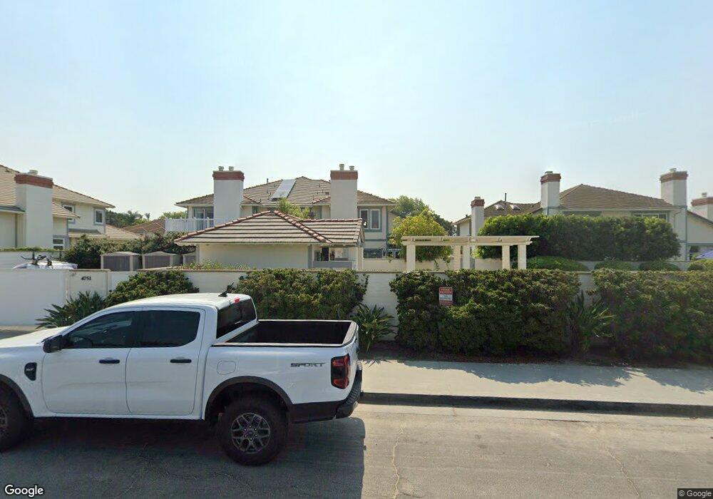
4747 Bryce Cir Carlsbad, CA 92008
Hedionda Point NeighborhoodEstimated Value: $1,178,000 - $1,873,000
3
Beds
3
Baths
2,286
Sq Ft
$682/Sq Ft
Est. Value
About This Home
This home is located at 4747 Bryce Cir, Carlsbad, CA 92008 and is currently estimated at $1,559,077, approximately $682 per square foot. 4747 Bryce Cir is a home located in San Diego County with nearby schools including Kelly Elementary School, Carlsbad High School, and Sage Creek High.
Ownership History
Date
Name
Owned For
Owner Type
Purchase Details
Closed on
Jun 25, 2003
Sold by
Clements Robert C and Clements Jan Paschal
Bought by
Clements Jan Paschal and Jan Paschal Clements Living Tr
Current Estimated Value
Purchase Details
Closed on
Jan 19, 2000
Sold by
Clements Robert C and Clements Jan P
Bought by
Clements Jan Paschal
Purchase Details
Closed on
Sep 22, 1997
Sold by
Alkhas Suzanne E
Bought by
Alkhas Ramsey
Home Financials for this Owner
Home Financials are based on the most recent Mortgage that was taken out on this home.
Original Mortgage
$190,000
Interest Rate
7.87%
Purchase Details
Closed on
Sep 5, 1997
Sold by
Ramsey Alkhas and Alkhas Jacquelyn R
Bought by
Clements Robert C and Clements Jan P
Home Financials for this Owner
Home Financials are based on the most recent Mortgage that was taken out on this home.
Original Mortgage
$190,000
Interest Rate
7.87%
Purchase Details
Closed on
Oct 9, 1991
Create a Home Valuation Report for This Property
The Home Valuation Report is an in-depth analysis detailing your home's value as well as a comparison with similar homes in the area
Home Values in the Area
Average Home Value in this Area
Purchase History
| Date | Buyer | Sale Price | Title Company |
|---|---|---|---|
| Clements Jan Paschal | -- | -- | |
| Clements Jan Paschal | -- | -- | |
| Alkhas Ramsey | -- | Southland Title | |
| Clements Robert C | $275,000 | Southland Title | |
| -- | $238,000 | -- |
Source: Public Records
Mortgage History
| Date | Status | Borrower | Loan Amount |
|---|---|---|---|
| Previous Owner | Clements Robert C | $190,000 |
Source: Public Records
Tax History
| Year | Tax Paid | Tax Assessment Tax Assessment Total Assessment is a certain percentage of the fair market value that is determined by local assessors to be the total taxable value of land and additions on the property. | Land | Improvement |
|---|---|---|---|---|
| 2025 | $4,623 | $439,082 | $168,153 | $270,929 |
| 2024 | $4,623 | $430,473 | $164,856 | $265,617 |
| 2023 | $4,599 | $422,033 | $161,624 | $260,409 |
| 2022 | $4,528 | $413,758 | $158,455 | $255,303 |
| 2021 | $4,494 | $405,647 | $155,349 | $250,298 |
| 2020 | $4,464 | $401,489 | $153,757 | $247,732 |
| 2019 | $4,384 | $393,618 | $150,743 | $242,875 |
| 2018 | $4,199 | $385,901 | $147,788 | $238,113 |
| 2017 | $4,129 | $378,336 | $144,891 | $233,445 |
| 2016 | $3,963 | $370,918 | $142,050 | $228,868 |
| 2015 | $3,947 | $365,348 | $139,917 | $225,431 |
| 2014 | $3,882 | $358,193 | $137,177 | $221,016 |
Source: Public Records
Map
Nearby Homes
- 4759 Bryce Cir
- 4735 Bryce Cir
- 4705 Marina Dr Unit 7
- 4705 Marina Dr Unit 10
- 4747 Marina Dr Unit 23
- 4781 Argosy Ln
- 4847 Flying Cloud Way
- 1851 Valencia Ave
- 4627 Park Dr
- 4505 Coastline Ave
- 4860 Park Dr
- 4556 Cove Dr
- 1741 Bruce Rd
- 4874 Park Dr
- 4876 Park Dr
- 0 Adams St Unit OC24201399
- 4269 Hillside Dr
- 4623 Telescope Ave
- 1095 Hoover St
- 0 Sunny Creek Unit PI25230627
Your Personal Tour Guide
Ask me questions while you tour the home.