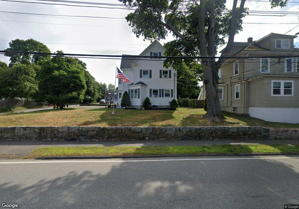
475 Central St Unit 2 Saugus, MA 01906
Cliftondale Neighborhood
2
Beds
1
Bath
1,174
Sq Ft
10,149
Sq Ft Lot
About This Home
This home is located at 475 Central St Unit 2, Saugus, MA 01906. 475 Central St Unit 2 is a home located in Essex County with nearby schools including Saugus High School, Pioneer Charter School Of Science II, and Sacred Heart School.
Ownership History
Date
Name
Owned For
Owner Type
Purchase Details
Closed on
Sep 6, 2007
Sold by
Still Robert L and Still Rochelle
Bought by
Still Robert L
Purchase Details
Closed on
Dec 27, 1991
Sold by
E & M Ft
Bought by
Stille Still Robert L and Rochelle Stille
Purchase Details
Closed on
Jul 31, 1991
Sold by
E & M Marino Ft
Bought by
Barry Barry John J John J and Linda Barry
Create a Home Valuation Report for This Property
The Home Valuation Report is an in-depth analysis detailing your home's value as well as a comparison with similar homes in the area
Home Values in the Area
Average Home Value in this Area
Purchase History
| Date | Buyer | Sale Price | Title Company |
|---|---|---|---|
| Still Robert L | -- | -- | |
| Stille Still Robert L | $165,000 | -- | |
| Barry Barry John J John J | $189,000 | -- |
Source: Public Records
Mortgage History
| Date | Status | Borrower | Loan Amount |
|---|---|---|---|
| Open | Barry Barry John J John J | $315,928 | |
| Previous Owner | Barry Barry John J John J | $70,000 |
Source: Public Records
Tax History
| Year | Tax Paid | Tax Assessment Tax Assessment Total Assessment is a certain percentage of the fair market value that is determined by local assessors to be the total taxable value of land and additions on the property. | Land | Improvement |
|---|---|---|---|---|
| 2025 | $8,990 | $841,800 | $297,400 | $544,400 |
| 2024 | $8,444 | $792,900 | $270,400 | $522,500 |
| 2023 | $8,177 | $726,200 | $243,400 | $482,800 |
| 2022 | $7,901 | $657,900 | $222,600 | $435,300 |
| 2021 | $7,763 | $629,100 | $193,800 | $435,300 |
| 2020 | $7,007 | $587,800 | $184,800 | $403,000 |
| 2019 | $6,939 | $569,700 | $166,700 | $403,000 |
| 2018 | $5,868 | $506,700 | $162,200 | $344,500 |
| 2017 | $5,343 | $443,400 | $151,400 | $292,000 |
| 2016 | $3,620 | $296,700 | $144,100 | $152,600 |
| 2015 | $3,397 | $282,600 | $137,200 | $145,400 |
| 2014 | $3,536 | $304,600 | $137,200 | $167,400 |
Source: Public Records
Map
Nearby Homes
- 475 Central St
- 473 Central St
- 6 Central Place
- 474 Central St
- 474 Central St Unit 2
- 474 Central St Unit 1
- 479 Central St
- 479 Central St Unit 2
- 479 Central St Unit 1
- 470 Central St
- 478 Central St Unit 480
- 478 Central St
- 478 Central St Unit 2
- 478 Central St Unit 1
- 478 480 Central
- 8 Central Place
- 481 Central St
- 481R Central St
- 476 Central St
- 482 Central St
Your Personal Tour Guide
Ask me questions while you tour the home.