Estimated Value: $154,208 - $267,000
Studio
--
Bath
1,680
Sq Ft
$134/Sq Ft
Est. Value
About This Home
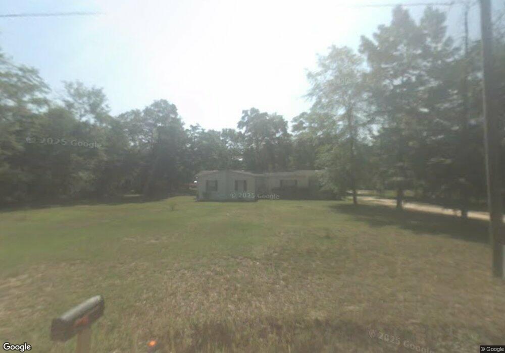
This home is located at 475 Laxton Rd, Jesup, GA 31545 and is currently estimated at $225,403, approximately $134 per square foot. 475 Laxton Rd is a home with nearby schools including Bacon Elementary School, Martha Puckett Middle School, and Wayne County High School.
Ownership History
Date
Name
Owned For
Owner Type
Purchase Details
Closed on
Nov 29, 2017
Sold by
Bailey Robert William
Bought by
Bailey John Daniel
Current Estimated Value
Purchase Details
Closed on
Feb 1, 1997
Sold by
Pye Deryl G and Pye Paula D
Bought by
Bailey Robert William and Rebecca Ann
Purchase Details
Closed on
Dec 1, 1996
Bought by
Pye Deryl G and Pye Paula D
Purchase Details
Closed on
May 1, 1990
Create a Home Valuation Report for This Property
The Home Valuation Report is an in-depth analysis detailing your home's value as well as a comparison with similar homes in the area
Purchase History
| Date | Buyer | Sale Price | Title Company |
|---|---|---|---|
| Bailey John Daniel | -- | -- | |
| Bailey Robert William | $19,000 | -- | |
| Pye Deryl G | $54,300 | -- | |
| -- | $20,000 | -- |
Source: Public Records
Tax History
| Year | Tax Paid | Tax Assessment Tax Assessment Total Assessment is a certain percentage of the fair market value that is determined by local assessors to be the total taxable value of land and additions on the property. | Land | Improvement |
|---|---|---|---|---|
| 2025 | $705 | $44,684 | $17,510 | $27,174 |
| 2024 | $705 | $43,765 | $17,510 | $26,255 |
| 2023 | $1,214 | $40,483 | $17,510 | $22,973 |
| 2022 | $972 | $35,889 | $17,510 | $18,379 |
| 2021 | $381 | $30,638 | $17,510 | $13,128 |
| 2020 | $391 | $31,140 | $18,012 | $13,128 |
| 2019 | $403 | $31,848 | $18,720 | $13,128 |
| 2018 | $701 | $35,231 | $18,720 | $16,511 |
| 2017 | $186 | $35,231 | $18,720 | $16,511 |
| 2016 | $171 | $35,231 | $18,720 | $16,511 |
| 2014 | $169 | $35,231 | $18,720 | $16,511 |
| 2013 | -- | $16,510 | $0 | $16,510 |
Source: Public Records
Map
Nearby Homes
- 82 Partridge Place
- 141 Boardwalk Ave
- 31 Boardwalk Ave
- 67 Boardwalk Ave
- 344 Jekyll Island Rd
- 96 Palm Tree Place
- 0 Red Oak Dr Unit 160341
- 0 Red Oak Dr Unit SA331365
- 99 Jekyll Island Rd
- 17 Jekyll Island Rd
- 1 Palm Island Cir
- 0 Palm Island Cir
- 112 Foxwood Dr
- 75 Woodlawn Dr
- 71 Cruz Rd
- 1 Spring Grove Rd
- 177 Bunion Rd
- Lot 1,2,3 Rayonier Rd
- na Georgia 169
- 695 Lanes Bridge Rd