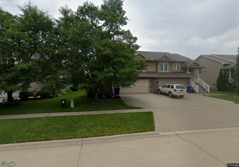
475 N Mckenzie Ln Unit A North Liberty, IA 52317
Estimated Value: $267,000 - $315,769
3
Beds
2
Baths
1,623
Sq Ft
$176/Sq Ft
Est. Value
About This Home
This home is located at 475 N Mckenzie Ln Unit A, North Liberty, IA 52317 and is currently estimated at $285,442, approximately $175 per square foot. 475 N Mckenzie Ln Unit A is a home located in Johnson County with nearby schools including Buford Garner Elementary School, North Central Junior High School, and Liberty High School.
Ownership History
Date
Name
Owned For
Owner Type
Purchase Details
Closed on
Jul 1, 2008
Sold by
Prime Ventures Construction Inc
Bought by
Traetow Christopher L
Current Estimated Value
Home Financials for this Owner
Home Financials are based on the most recent Mortgage that was taken out on this home.
Original Mortgage
$119,925
Outstanding Balance
$75,247
Interest Rate
5.62%
Mortgage Type
Purchase Money Mortgage
Estimated Equity
$210,195
Create a Home Valuation Report for This Property
The Home Valuation Report is an in-depth analysis detailing your home's value as well as a comparison with similar homes in the area
Home Values in the Area
Average Home Value in this Area
Purchase History
| Date | Buyer | Sale Price | Title Company |
|---|---|---|---|
| Traetow Christopher L | $160,000 | None Available |
Source: Public Records
Mortgage History
| Date | Status | Borrower | Loan Amount |
|---|---|---|---|
| Open | Traetow Christopher L | $119,925 |
Source: Public Records
Tax History Compared to Growth
Tax History
| Year | Tax Paid | Tax Assessment Tax Assessment Total Assessment is a certain percentage of the fair market value that is determined by local assessors to be the total taxable value of land and additions on the property. | Land | Improvement |
|---|---|---|---|---|
| 2025 | $3,702 | $242,900 | $42,200 | $200,700 |
| 2024 | $3,618 | $225,500 | $42,200 | $183,300 |
| 2023 | $3,506 | $225,500 | $42,200 | $183,300 |
| 2022 | $3,322 | $189,600 | $17,300 | $172,300 |
| 2021 | $3,176 | $189,600 | $17,300 | $172,300 |
| 2020 | $3,176 | $173,200 | $17,300 | $155,900 |
| 2019 | $3,176 | $173,200 | $17,300 | $155,900 |
| 2018 | $3,112 | $173,200 | $17,300 | $155,900 |
| 2017 | $3,112 | $173,200 | $17,300 | $155,900 |
| 2016 | $2,812 | $160,800 | $17,100 | $143,700 |
| 2015 | $2,812 | $160,800 | $17,100 | $143,700 |
| 2014 | $2,730 | $159,600 | $17,100 | $142,500 |
Source: Public Records
Map
Nearby Homes
- 470 N Colton Dr
- 1035 Liberty Way
- 115 N Colton Dr
- 1190 Berkshire Ln
- 400 W Penn St
- 144 Elm Ridge Dr
- 142 Elm Ridge Dr
- 555 Country Ln
- 437 Watts Ct
- 427 Watts Ct
- 478 Cambria Dr
- 414 Churchill Dr
- 945 Eisenhower Blvd
- 937 Eisenhower Blvd
- 957 Eisenhower Blvd
- 955 Eisenhower Blvd
- 1295 Eisenhower Blvd
- 100 Cherry Ct Unit 2
- 420 W Zeller St
- 1210 Priscilla Ct
- 457 N Mckenzie Ln Unit B
- 477 N Mckenzie Ln Unit B
- 485 N Mckenzie Ln
- 437 N Mckenzie Ln
- 470 Colton Dr
- 452 Colton Dr Unit A
- 472 Colton Dr
- 472 N Colton Dr
- 487 N Mckenzie Ln
- 450 Colton Dr
- 480 Colton Dr
- 435 N Mckenzie Ln Unit A
- 450 N Colton Dr
- 452 N Colton Dr
- 482 Colton Dr
- 480 N Colton Dr
- 482 N Colton Dr
- 470 N Mckenzie Ln
- 432 Colton Dr Unit A
- 452 N Mckenzie Ln