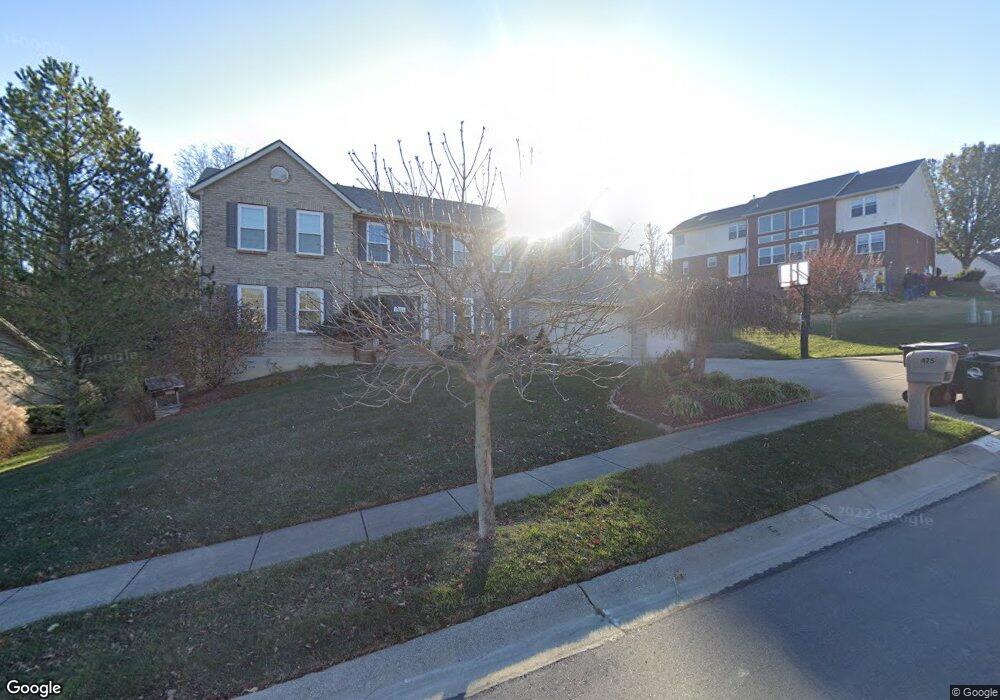
475 Saint Thomas Ct Fairfield, OH 45014
Estimated Value: $408,843 - $477,000
4
Beds
3
Baths
2,444
Sq Ft
$185/Sq Ft
Est. Value
About This Home
This home is located at 475 Saint Thomas Ct, Fairfield, OH 45014 and is currently estimated at $451,461, approximately $184 per square foot. 475 Saint Thomas Ct is a home located in Butler County with nearby schools including Fairfield West Elementary School, Creekside Middle School, and Fairfield Senior High School.
Ownership History
Date
Name
Owned For
Owner Type
Purchase Details
Closed on
Nov 27, 2000
Sold by
Land Communities Inc
Bought by
Cook David J and Cook Tara L
Current Estimated Value
Home Financials for this Owner
Home Financials are based on the most recent Mortgage that was taken out on this home.
Original Mortgage
$170,720
Outstanding Balance
$59,627
Interest Rate
7.7%
Mortgage Type
Purchase Money Mortgage
Estimated Equity
$391,834
Create a Home Valuation Report for This Property
The Home Valuation Report is an in-depth analysis detailing your home's value as well as a comparison with similar homes in the area
Home Values in the Area
Average Home Value in this Area
Purchase History
| Date | Buyer | Sale Price | Title Company |
|---|---|---|---|
| Cook David J | $213,400 | Prodigy Title Agency Inc |
Source: Public Records
Mortgage History
| Date | Status | Borrower | Loan Amount |
|---|---|---|---|
| Open | Cook David J | $170,720 |
Source: Public Records
Tax History
| Year | Tax Paid | Tax Assessment Tax Assessment Total Assessment is a certain percentage of the fair market value that is determined by local assessors to be the total taxable value of land and additions on the property. | Land | Improvement |
|---|---|---|---|---|
| 2025 | $4,697 | $120,140 | $14,790 | $105,350 |
| 2024 | $4,697 | $120,140 | $14,790 | $105,350 |
| 2023 | $4,679 | $123,380 | $14,790 | $108,590 |
| 2022 | $4,144 | $86,730 | $14,790 | $71,940 |
| 2021 | $3,578 | $85,320 | $14,790 | $70,530 |
| 2020 | $3,722 | $85,320 | $14,790 | $70,530 |
| 2019 | $6,131 | $71,010 | $17,820 | $53,190 |
| 2018 | $3,519 | $71,010 | $17,820 | $53,190 |
| 2017 | $3,554 | $71,010 | $17,820 | $53,190 |
| 2016 | $3,411 | $64,890 | $17,820 | $47,070 |
| 2015 | $3,248 | $64,890 | $17,820 | $47,070 |
| 2014 | $3,676 | $64,890 | $17,820 | $47,070 |
| 2013 | $3,676 | $75,080 | $20,480 | $54,600 |
Source: Public Records
Map
Nearby Homes
- 30 Trappist Walk
- 340 River Valley Dt
- 6077 Gray Rd
- 5720 Lake Circle Dr
- 12190 Kilbride Dr
- 12139 Huntergreen Dr
- 3330 Celedon Ct
- 11961 Stonequarry Ct
- 3206 Rothesay Ct
- 1301 Parkway Ct
- 5360 Burgundy Place
- 1 Stone Mill Rd
- 0 Stone Mill Rd Unit 1866794
- 0 Stone Mill Rd Unit 1846428
- 1334 Carlin Ct
- 12161 Birchgrove Ct
- 5209 Concord Mill Place
- 6375 Jamesfield Ct
- 5276 Chateau Way
- 1368 Evalie Dr
- 467 Saint Thomas Ct
- 800 Abbot Dr
- 810 Abbot Dr
- 459 Saint Thomas Ct
- 488 St Thomas Ct
- 480 Saint Thomas Ct
- 496 Saint Thomas Ct
- 488 Saint Thomas Ct
- 820 Abbot Dr
- 472 Saint Thomas Ct
- 451 Saint Thomas Ct
- 504 Saint Thomas Ct
- 515 Saint Thomas Ct
- 464 Saint Thomas Ct
- 512 Saint Thomas Ct
- 815 Abbot Dr
- 443 Saint Thomas Ct
- 830 Abbot Dr
- 456 Saint Thomas Ct
- 520 Saint Thomas Ct
Your Personal Tour Guide
Ask me questions while you tour the home.