475 Wind Mill Point Rd Hampton, VA 23664
Fox Hill NeighborhoodEstimated Value: $626,000 - $796,000
5
Beds
4
Baths
3,551
Sq Ft
$205/Sq Ft
Est. Value
About This Home
This home is located at 475 Wind Mill Point Rd, Hampton, VA 23664 and is currently estimated at $729,184, approximately $205 per square foot. 475 Wind Mill Point Rd is a home located in Hampton City with nearby schools including Francis Asbury Elementary School, Benjamin Syms Middle School, and Kecoughtan High School.
Ownership History
Date
Name
Owned For
Owner Type
Purchase Details
Closed on
Feb 11, 2005
Sold by
Green Tree Servicing L L
Bought by
Honeycutt John
Current Estimated Value
Purchase Details
Closed on
Aug 26, 2001
Sold by
Lentchner Irwin L
Bought by
J B H Llc
Home Financials for this Owner
Home Financials are based on the most recent Mortgage that was taken out on this home.
Original Mortgage
$245,500
Interest Rate
7.06%
Create a Home Valuation Report for This Property
The Home Valuation Report is an in-depth analysis detailing your home's value as well as a comparison with similar homes in the area
Home Values in the Area
Average Home Value in this Area
Purchase History
| Date | Buyer | Sale Price | Title Company |
|---|---|---|---|
| Honeycutt John | $60,250 | -- | |
| J B H Llc | $236,000 | -- |
Source: Public Records
Mortgage History
| Date | Status | Borrower | Loan Amount |
|---|---|---|---|
| Previous Owner | J B H Llc | $245,500 |
Source: Public Records
Tax History
| Year | Tax Paid | Tax Assessment Tax Assessment Total Assessment is a certain percentage of the fair market value that is determined by local assessors to be the total taxable value of land and additions on the property. | Land | Improvement |
|---|---|---|---|---|
| 2025 | $7,772 | $684,900 | $270,700 | $414,200 |
| 2024 | $7,441 | $647,000 | $246,100 | $400,900 |
| 2023 | $7,505 | $647,000 | $246,100 | $400,900 |
| 2022 | $7,026 | $595,400 | $246,100 | $349,300 |
| 2021 | $6,876 | $544,000 | $246,100 | $297,900 |
| 2020 | $6,576 | $530,300 | $246,100 | $284,200 |
| 2019 | $6,576 | $530,300 | $246,100 | $284,200 |
| 2018 | $6,670 | $530,300 | $246,100 | $284,200 |
| 2017 | $6,670 | $0 | $0 | $0 |
| 2016 | $6,670 | $530,300 | $0 | $0 |
| 2015 | $6,670 | $0 | $0 | $0 |
| 2014 | $6,820 | $530,300 | $246,100 | $284,200 |
Source: Public Records
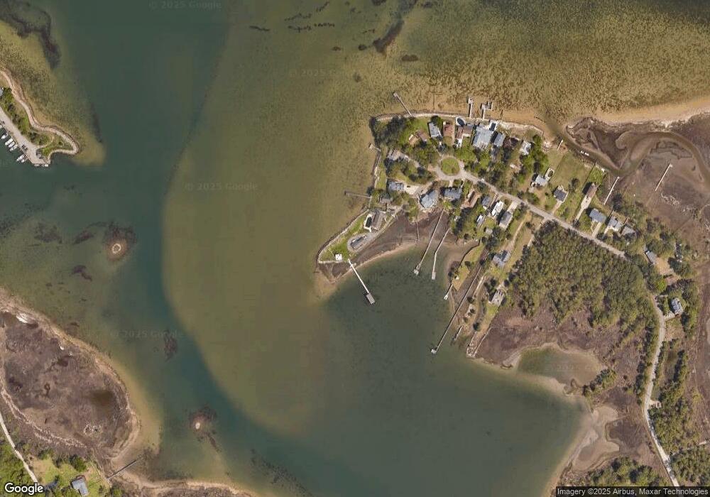
Map
Nearby Homes
- 486 Wind Mill Point Rd
- 484 Wind Mill Point Rd
- 471 Wind Mill Point Rd
- 480 Wind Mill Point Rd
- 469 Wind Mill Point Rd
- 478 Wind Mill Point Rd
- 476 Wind Mill Point Rd
- 467 Wind Mill Point Rd
- 474 Wind Mill Point Rd
- 465 Wind Mill Point Rd
- 459 Wind Mill Point Rd
- 472 Wind Mill Point Rd
- 463 Wind Mill Point Rd
- 470 Wind Mill Point Rd
- 455 Wind Mill Point Rd
- 461 Wind Mill Point Rd
- 468 Wind Mill Point Rd
- 453 Wind Mill Point Rd
- 466 Wind Mill Point Rd
- 464 Wind Mill Point Rd
Your Personal Tour Guide
Ask me questions while you tour the home.