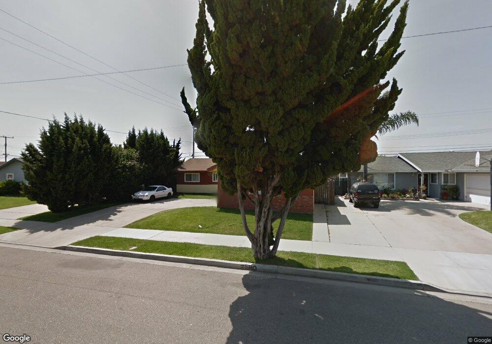
4751 Beaumont Ave Oxnard, CA 93033
Tierra Vista NeighborhoodEstimated Value: $687,617 - $750,000
3
Beds
2
Baths
1,403
Sq Ft
$516/Sq Ft
Est. Value
About This Home
This home is located at 4751 Beaumont Ave, Oxnard, CA 93033 and is currently estimated at $724,154, approximately $516 per square foot. 4751 Beaumont Ave is a home located in Ventura County with nearby schools including Channel Islands High School.
Ownership History
Date
Name
Owned For
Owner Type
Purchase Details
Closed on
Oct 3, 2024
Sold by
Ruth Duldulao Mcpherson Trust and Soto Juan M
Bought by
2641 South Beaufort Drive Llc
Current Estimated Value
Purchase Details
Closed on
Feb 22, 2005
Sold by
Mcpherson Ruth and Mcpherson Ruth D
Bought by
Mcpherson Ruth Duldulao
Purchase Details
Closed on
Jul 9, 1999
Sold by
Moretton Louis P Barbara
Bought by
Mcpherson Ruth D
Home Financials for this Owner
Home Financials are based on the most recent Mortgage that was taken out on this home.
Original Mortgage
$147,200
Interest Rate
4.35%
Create a Home Valuation Report for This Property
The Home Valuation Report is an in-depth analysis detailing your home's value as well as a comparison with similar homes in the area
Home Values in the Area
Average Home Value in this Area
Purchase History
| Date | Buyer | Sale Price | Title Company |
|---|---|---|---|
| 2641 South Beaufort Drive Llc | -- | None Listed On Document | |
| Mcpherson Ruth Duldulao | -- | Lawyers | |
| Mcpherson Ruth D | $184,000 | Lawyers Title Company |
Source: Public Records
Mortgage History
| Date | Status | Borrower | Loan Amount |
|---|---|---|---|
| Previous Owner | Mcpherson Ruth D | $147,200 |
Source: Public Records
Tax History
| Year | Tax Paid | Tax Assessment Tax Assessment Total Assessment is a certain percentage of the fair market value that is determined by local assessors to be the total taxable value of land and additions on the property. | Land | Improvement |
|---|---|---|---|---|
| 2025 | $6,878 | $615,902 | $400,500 | $215,402 |
| 2024 | $6,878 | $603,826 | $392,647 | $211,179 |
| 2023 | $6,995 | $591,987 | $384,948 | $207,039 |
| 2022 | $6,574 | $580,380 | $377,400 | $202,980 |
| 2021 | $3,045 | $261,240 | $104,495 | $156,745 |
| 2020 | $3,132 | $258,564 | $103,425 | $155,139 |
| 2019 | $3,013 | $253,496 | $101,398 | $152,098 |
| 2018 | $2,975 | $248,526 | $99,410 | $149,116 |
| 2017 | $2,898 | $243,654 | $97,461 | $146,193 |
| 2016 | $2,765 | $238,877 | $95,550 | $143,327 |
| 2015 | $2,800 | $235,291 | $94,116 | $141,175 |
| 2014 | $2,740 | $230,683 | $92,273 | $138,410 |
Source: Public Records
Map
Nearby Homes
- 4200 Browning Dr
- 4032 Mockingbird Ln
- 2177 Robin Ave Unit 2177A
- 2117 Cardinal Ave Unit 2117h
- 1645 Lime Ave Unit 91
- 2178 Thrush Ave Unit J
- 3700 Olds Rd Unit 86
- 4340 Highland Ave
- 2400 E Pleasant Valley Rd Unit 108
- 1407 Peach Ave Unit 14
- 5222 Longfellow Way
- 4108 Ranchita Ln
- 5117 Jefferson Square
- 860 Morro Way
- 1928 San Benito St
- 4160 Petit Dr Unit 39
- 320 Columbia Place Unit 46
- 3130 Paula St
- 280 Columbia Place Unit 48
- 360 Ibsen Place Unit 129
- 4741 Beaumont Ave
- 4761 Beaumont Ave
- 4731 Beaumont Ave
- 4765 Beaumont Ave
- 2034 Peoria Place
- 4740 Phoenix Dr
- 2040 Abbott St
- 2041 Vanetta St
- 4721 Beaumont Ave
- 4801 Beaumont Ave
- 4730 Phoenix Dr
- 2030 Peoria Place
- 2044 Abbott St
- 2045 Vanetta St
- 2041 Abbott St
- 4711 Beaumont Ave
- 4811 Beaumont Ave
- 4720 Phoenix Dr
- 2050 Abbott St
- 2020 Peoria Place
Your Personal Tour Guide
Ask me questions while you tour the home.