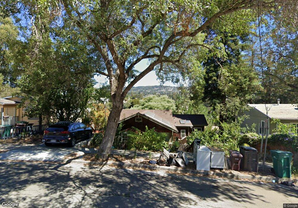
4752 Redding St Oakland, CA 94619
Maxwell Park NeighborhoodEstimated Value: $607,000 - $747,095
2
Beds
2
Baths
958
Sq Ft
$717/Sq Ft
Est. Value
About This Home
This home is located at 4752 Redding St, Oakland, CA 94619 and is currently estimated at $686,774, approximately $716 per square foot. 4752 Redding St is a home located in Alameda County with nearby schools including Laurel Elementary School, Frick United Academy of Language, and Skyline High School.
Ownership History
Date
Name
Owned For
Owner Type
Purchase Details
Closed on
Feb 15, 2018
Sold by
Garcia Olivia M
Bought by
Yang Sybil S
Current Estimated Value
Home Financials for this Owner
Home Financials are based on the most recent Mortgage that was taken out on this home.
Original Mortgage
$443,888
Outstanding Balance
$375,933
Interest Rate
3.99%
Mortgage Type
New Conventional
Estimated Equity
$310,841
Purchase Details
Closed on
Feb 13, 2013
Sold by
Raymond F Clark Properties Llc
Bought by
Garcia Olivia M
Home Financials for this Owner
Home Financials are based on the most recent Mortgage that was taken out on this home.
Original Mortgage
$270,750
Interest Rate
3.36%
Mortgage Type
New Conventional
Purchase Details
Closed on
Jun 13, 2012
Sold by
Federal National Mortgage Association
Bought by
R F Clark Properties Llc
Purchase Details
Closed on
Mar 25, 2011
Sold by
Massad Rachel
Bought by
Federal National Mortgage Association
Purchase Details
Closed on
Oct 29, 2002
Sold by
Hutton Bernardo and Hutton Marissa
Bought by
Massad Rachel
Home Financials for this Owner
Home Financials are based on the most recent Mortgage that was taken out on this home.
Original Mortgage
$213,600
Interest Rate
5.99%
Purchase Details
Closed on
Jul 21, 1999
Sold by
Bold David J and Bold Geneva A
Bought by
Hutton Bernardo and Hutton Marissa
Home Financials for this Owner
Home Financials are based on the most recent Mortgage that was taken out on this home.
Original Mortgage
$100,000
Interest Rate
8.75%
Create a Home Valuation Report for This Property
The Home Valuation Report is an in-depth analysis detailing your home's value as well as a comparison with similar homes in the area
Home Values in the Area
Average Home Value in this Area
Purchase History
We collect this data history from publicly available records. To have your information removed, we recommend requesting removal directly through your county’s website.
| Date | Buyer | Sale Price | Title Company |
|---|---|---|---|
| Yang Sybil S | $555,000 | Placer Title Company | |
| Garcia Olivia M | $285,000 | Placer Title Company | |
| R F Clark Properties Llc | $153,500 | Servicelink | |
| Federal National Mortgage Association | $163,700 | Landsafe Title | |
| Massad Rachel | $267,000 | First California Title Compa | |
| Hutton Bernardo | $125,000 | Old Republic Title Company |
Source: Public Records
Mortgage History
We collect this data history from publicly available records. To have your information removed, we recommend requesting removal directly through your county’s website.
| Date | Status | Borrower | Loan Amount |
|---|---|---|---|
| Open | Yang Sybil S | $443,888 | |
| Previous Owner | Garcia Olivia M | $270,750 | |
| Previous Owner | Massad Rachel | $213,600 | |
| Previous Owner | Hutton Bernardo | $100,000 | |
| Closed | Hutton Bernardo | $12,500 |
Source: Public Records
Tax History
| Year | Tax Paid | Tax Assessment Tax Assessment Total Assessment is a certain percentage of the fair market value that is determined by local assessors to be the total taxable value of land and additions on the property. | Land | Improvement |
|---|---|---|---|---|
| 2025 | $9,646 | $624,484 | $189,445 | $442,039 |
| 2024 | $9,646 | $612,101 | $185,730 | $433,371 |
| 2023 | $10,107 | $606,964 | $182,089 | $424,875 |
| 2022 | $9,836 | $588,064 | $178,519 | $416,545 |
| 2021 | $9,404 | $576,398 | $175,019 | $408,379 |
| 2020 | $9,299 | $577,421 | $173,226 | $404,195 |
| 2019 | $8,949 | $566,100 | $169,830 | $396,270 |
| 2018 | $5,981 | $351,730 | $105,519 | $246,211 |
| 2017 | $5,736 | $344,834 | $103,450 | $241,384 |
| 2016 | $5,505 | $338,074 | $101,422 | $236,652 |
| 2015 | $5,472 | $332,997 | $99,899 | $233,098 |
| 2014 | $5,438 | $326,474 | $97,942 | $228,532 |
Source: Public Records
Map
Nearby Homes
- 3754 Enos Ave
- 3409 Wyman St
- 25 Redding Place
- 5091 Macarthur Blvd
- 4538 Tulip Ave
- 4475 Redding St
- 4471 Tulip Ave
- 4632 Steele St
- 3261 Wyman St
- 3121 Monticello Ave
- 5229 Macarthur Blvd
- 3039 Modesto Ave
- 2924 Morcom Ave
- 3210 Courtland Ave
- 3223 Courtland Ave
- 3918 High St
- 4239 Quigley Place
- 4445 Tompkins Ave
- 5407 Roberts Ave
- 4251 Porter St
- 4742 Redding St
- 4760 Redding St
- 4734 Redding St
- 4770 Redding St
- 4761 Redding St
- 4778 Redding St
- 4726 Redding St
- 4771 Redding St
- 4737 Redding St
- 4781 Redding St
- 4786 Redding St
- 3516 Kingsland Ave
- 4733 Redding St
- 3508 Kingsland Ave
- 3521 Pierson St
- 3527 Pierson St
- 3500 Kingsland Ave
- 28 Morcom Place
- 4725 Redding St
- 4794 Redding St
Your Personal Tour Guide
Ask me questions while you tour the home.