4757 110th St Glencoe, MN 55336
Estimated Value: $375,000 - $592,646
3
Beds
3
Baths
2,048
Sq Ft
$232/Sq Ft
Est. Value
About This Home
This home is located at 4757 110th St, Glencoe, MN 55336 and is currently estimated at $475,882, approximately $232 per square foot. 4757 110th St is a home located in McLeod County with nearby schools including Lincoln Elementary School, Lakeside Elementary School, and Glencoe-Silver Lake Jr. High School.
Ownership History
Date
Name
Owned For
Owner Type
Purchase Details
Closed on
Dec 3, 2012
Sold by
Sylvester Thomas J and Sylvester Jenny M
Bought by
Feist Dale P and Feist Gwendolyn J
Current Estimated Value
Home Financials for this Owner
Home Financials are based on the most recent Mortgage that was taken out on this home.
Original Mortgage
$247,808
Outstanding Balance
$171,610
Interest Rate
3.36%
Mortgage Type
VA
Estimated Equity
$304,272
Create a Home Valuation Report for This Property
The Home Valuation Report is an in-depth analysis detailing your home's value as well as a comparison with similar homes in the area
Purchase History
| Date | Buyer | Sale Price | Title Company |
|---|---|---|---|
| Feist Dale P | -- | Signature Title |
Source: Public Records
Mortgage History
| Date | Status | Borrower | Loan Amount |
|---|---|---|---|
| Open | Feist Dale P | $247,808 |
Source: Public Records
Tax History
| Year | Tax Paid | Tax Assessment Tax Assessment Total Assessment is a certain percentage of the fair market value that is determined by local assessors to be the total taxable value of land and additions on the property. | Land | Improvement |
|---|---|---|---|---|
| 2024 | $4,190 | $555,300 | $230,100 | $325,200 |
| 2023 | $4,190 | $498,900 | $230,100 | $268,800 |
| 2022 | $3,990 | $434,400 | $206,000 | $228,400 |
| 2021 | $3,776 | $382,200 | $187,100 | $195,100 |
| 2020 | $3,500 | $365,800 | $181,000 | $184,800 |
| 2019 | $3,152 | $331,100 | $164,500 | $166,600 |
| 2018 | $3,108 | $0 | $0 | $0 |
| 2017 | $2,500 | $0 | $0 | $0 |
| 2016 | $2,432 | $0 | $0 | $0 |
| 2015 | $2,128 | $0 | $0 | $0 |
| 2014 | -- | $0 | $0 | $0 |
Source: Public Records
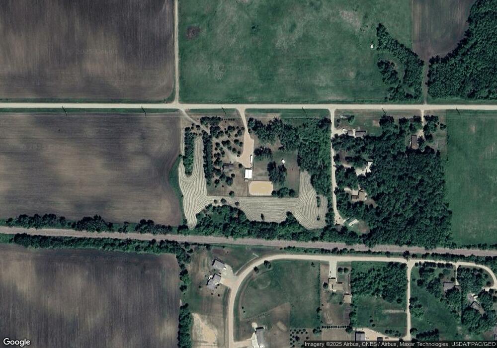
Map
Nearby Homes
- 1423 Prairie Ave
- 1512 Ranger Dr N
- 1515 Ranger Dr
- 1527 Ranger Dr N
- 1523 Ranger Dr N
- 1412 Elsie Dr N
- 16 1st St NE
- 1801 Pryor Ave N
- 1521 10th St E
- 1227 11th St E
- 2600 14th St E
- 1028 13th St E
- 1604 Ives Ave N
- 9085 Acorn Ave
- 200 Interwood Dr
- 719 14th St E
- 1606 Greeley Ave N
- 800 Sumac Ln
- 105 Hennepin Ave N
- 205 Wacker Dr
- 4673 108th Cir
- 4538 110th St
- 10904 Cardinal Ave
- 10862 Cardinal Ave
- 10936 Cardinal Ave
- 4674 108th Cir
- 4690 108th Cir
- 4590 108th Cir
- 4702 108th Cir
- 1116 108th Cir
- 4632 108th Cir
- 1113 108th Cir
- 1112 108th Cir
- 4519 110th St
- 1114 108th Cir
- 4841 Highway 212
- 4889 Highway 212
- 1111 108th Cir
- 4770 110th St
- 4770 110th St