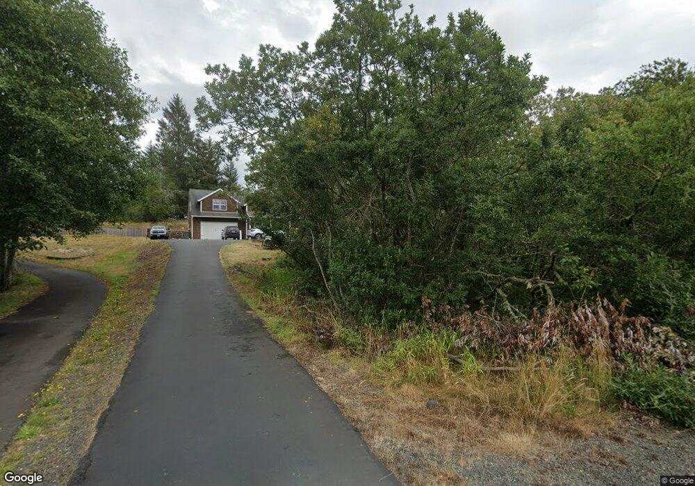
4757 Highway 101 N Gearhart, OR 97138
Estimated Value: $568,000 - $711,000
3
Beds
2
Baths
2,474
Sq Ft
$267/Sq Ft
Est. Value
About This Home
This home is located at 4757 Highway 101 N, Gearhart, OR 97138 and is currently estimated at $660,486, approximately $266 per square foot. 4757 Highway 101 N is a home located in Clatsop County with nearby schools including Seaside High School.
Ownership History
Date
Name
Owned For
Owner Type
Purchase Details
Closed on
Mar 28, 2012
Sold by
Wells Fargo Financial Oregon Inc
Bought by
Chow Jeffrey D and Chow Margaret A
Current Estimated Value
Home Financials for this Owner
Home Financials are based on the most recent Mortgage that was taken out on this home.
Original Mortgage
$236,000
Outstanding Balance
$162,623
Interest Rate
3.86%
Mortgage Type
New Conventional
Estimated Equity
$497,863
Purchase Details
Closed on
Dec 19, 2011
Sold by
Rich Jason S and Rich Lori A
Bought by
Wells Fargo Financial Oregon Inc
Purchase Details
Closed on
Apr 24, 2007
Sold by
Strickland Aaron J
Bought by
Rich Jason S and Rich Lori A
Home Financials for this Owner
Home Financials are based on the most recent Mortgage that was taken out on this home.
Original Mortgage
$344,000
Interest Rate
6.11%
Mortgage Type
Unknown
Create a Home Valuation Report for This Property
The Home Valuation Report is an in-depth analysis detailing your home's value as well as a comparison with similar homes in the area
Home Values in the Area
Average Home Value in this Area
Purchase History
| Date | Buyer | Sale Price | Title Company |
|---|---|---|---|
| Chow Jeffrey D | $295,000 | Multiple | |
| Wells Fargo Financial Oregon Inc | $166,686 | None Available | |
| Rich Jason S | $430,000 | Ticor Title Ins Co |
Source: Public Records
Mortgage History
| Date | Status | Borrower | Loan Amount |
|---|---|---|---|
| Open | Chow Jeffrey D | $236,000 | |
| Previous Owner | Rich Jason S | $344,000 |
Source: Public Records
Tax History Compared to Growth
Tax History
| Year | Tax Paid | Tax Assessment Tax Assessment Total Assessment is a certain percentage of the fair market value that is determined by local assessors to be the total taxable value of land and additions on the property. | Land | Improvement |
|---|---|---|---|---|
| 2024 | $3,301 | $288,606 | -- | -- |
| 2023 | $3,208 | $280,201 | $0 | $0 |
| 2022 | $3,112 | $272,041 | $0 | $0 |
| 2021 | $3,177 | $264,118 | $0 | $0 |
| 2020 | $3,064 | $256,426 | $0 | $0 |
| 2019 | $2,986 | $248,959 | $0 | $0 |
| 2018 | $2,878 | $241,708 | $0 | $0 |
| 2017 | $2,801 | $234,669 | $0 | $0 |
| 2016 | $2,420 | $227,835 | $50,120 | $177,715 |
| 2015 | $2,340 | $221,200 | $48,661 | $172,539 |
| 2014 | $2,225 | $214,758 | $0 | $0 |
| 2013 | -- | $208,503 | $0 | $0 |
Source: Public Records
Map
Nearby Homes
- 2499 Pine Ridge Dr
- 1348 Dooley Ln
- 2998 Pine Ct
- 1309 Cottonwood Ln
- 5399 Drummond Dr
- 4586 Drummond Ct
- 568 Browning Ln
- 88271 McCormick Gardens Rd
- 88769 Teal Rd
- 0 Vl High Ridge Rd Unit Lot 58
- Lot 58 High Ridge Rd
- 0 High Ridge Rd Unit 278550860
- Lot 59 High Ridge Rd
- 88790 Dawson Rd
- 4830 Butterfly Ln
- 0 Rd
- 645 Meadow Ln
- 5270 High Ridge Rd
- 1729 Gearhart Green Condo Unit 510
- 4580 Fairway Ave
- 1386 Wakeman Ln
- 4789 Wakeman Ln
- 1368 Bailey Ln
- 1365 Wakeman Ln
- 1356 Bailey Ln
- 1356 Bailey Ln
- 1385 Sunrise Ridge
- 1385 Sunrise Ridge Rd
- 1365 Bailey Ln
- 1354 Wakeman Ln
- 1350 Bailey Ln
- 1355 Wakeman Ln
- 1375 Sunrise Ridge Rd
- 1340 Bailey Ln
- 1340 Bailey Ln
- 1375 Sunrise Ridge
- 1341 Wakeman Ln
- 1334 Bailey Ln
- 1334 Bailey Ln
- 1395 N Sunrise Ridge