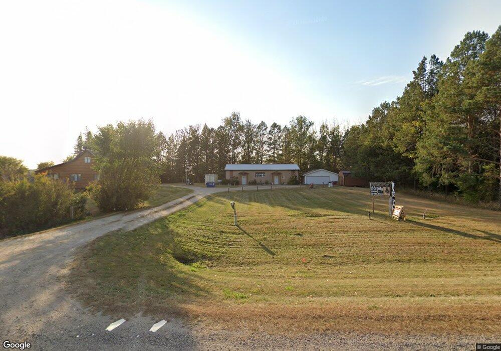
4758 State Highway 29 N Alexandria, MN 56308
Estimated Value: $354,019 - $384,000
--
Bed
--
Bath
1,520
Sq Ft
$243/Sq Ft
Est. Value
About This Home
This home is located at 4758 State Highway 29 N, Alexandria, MN 56308 and is currently estimated at $369,255, approximately $242 per square foot. 4758 State Highway 29 N is a home with nearby schools including Carlos Elementary School, Discovery Middle School, and Alexandria Area High School.
Ownership History
Date
Name
Owned For
Owner Type
Purchase Details
Closed on
Apr 5, 2018
Sold by
Braaten James W and Braaten Debra L
Bought by
Hansen Lenore B and Hansen Roger
Current Estimated Value
Home Financials for this Owner
Home Financials are based on the most recent Mortgage that was taken out on this home.
Original Mortgage
$196,377
Outstanding Balance
$168,129
Interest Rate
4.25%
Mortgage Type
FHA
Estimated Equity
$201,126
Create a Home Valuation Report for This Property
The Home Valuation Report is an in-depth analysis detailing your home's value as well as a comparison with similar homes in the area
Home Values in the Area
Average Home Value in this Area
Purchase History
| Date | Buyer | Sale Price | Title Company |
|---|---|---|---|
| Hansen Lenore B | $220,000 | All Star Title |
Source: Public Records
Mortgage History
| Date | Status | Borrower | Loan Amount |
|---|---|---|---|
| Open | Hansen Lenore B | $196,377 |
Source: Public Records
Tax History Compared to Growth
Tax History
| Year | Tax Paid | Tax Assessment Tax Assessment Total Assessment is a certain percentage of the fair market value that is determined by local assessors to be the total taxable value of land and additions on the property. | Land | Improvement |
|---|---|---|---|---|
| 2025 | $2,274 | $311,200 | $64,300 | $246,900 |
| 2024 | $2,274 | $307,600 | $62,400 | $245,200 |
| 2023 | $2,272 | $281,300 | $53,500 | $227,800 |
| 2022 | $2,098 | $250,700 | $44,800 | $205,900 |
| 2021 | $2,218 | $226,800 | $41,900 | $184,900 |
| 2020 | $2,070 | $223,100 | $39,600 | $183,500 |
| 2019 | $1,230 | $205,100 | $32,900 | $172,200 |
| 2018 | $952 | $171,900 | $32,900 | $139,000 |
| 2017 | $904 | $250,300 | $115,100 | $135,200 |
| 2016 | $954 | $239,008 | $111,744 | $127,264 |
| 2015 | $878 | $0 | $0 | $0 |
| 2014 | -- | $233,200 | $115,200 | $118,000 |
Source: Public Records
Map
Nearby Homes
- 3613 Crestwood Ridge NE
- 2691 Old County Road 120 NE
- Lot 3 Block 2 Crestwood Ridge NE
- Lot 4 Block 2 Crestwood Ridge NE
- Lot 2 Block 2 Crestwood Ridge NE
- Lot 5 Block 2 Crestwood Ridge NE
- Lot 1 Block 2 Crestwood Ridge NE
- Lot 15 Block 1 Crestwood Ridge NE
- 3731 Crestwood Ridge NE
- 3786 Airway Ln NE
- TBD Pinewood
- 3191 Crestwood Dr NE
- 2740 Le Homme Dieu Heights NE
- 2520 Le Homme Dieu Heights NE Unit 3
- 2520 Le Homme Dieu Heights NE Unit 2
- 1744 Old County Road 120 NE Unit 3
- 105 8th St W
- TBD Emerald Dr
- 204 6th St W
- 7148 County Road 42 NE
- 4560 Highway 29 N
- 4560 State Highway 29 N
- x NE Pike Rd
- xxxx 39th Ave NE
- xxx 39th Ave NE
- 5476 State Highway 29 N
- 4120 State Highway 29 N
- 4543 Pike Rd NE
- 3408 #15 County Road 85 NE
- 3260 Pike Rd NE
- 3966 39th Ave NE
- 3966 39th Ave NE Unit 1
- 3571 39th Ave NE
- 3571 39th Ave NE
- 3982 39th Ave NE
- 3871 Brede Ln NE
- 3848 39th Ave NE
- 4800 39th Ave NE
- 3720 39th Ave NE
- 3809 Brede Ln NE