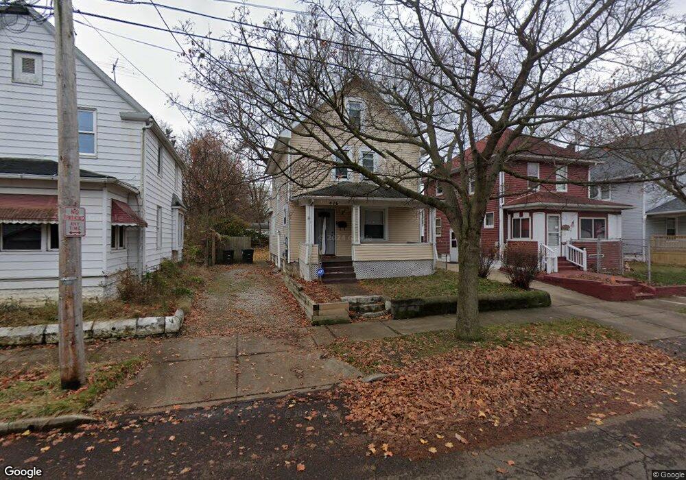
476 Howe St Akron, OH 44307
Sherbondy Hill NeighborhoodEstimated Value: $45,000 - $66,000
3
Beds
1
Bath
1,308
Sq Ft
$45/Sq Ft
Est. Value
About This Home
This home is located at 476 Howe St, Akron, OH 44307 and is currently estimated at $58,750, approximately $44 per square foot. 476 Howe St is a home located in Summit County with nearby schools including St. Bernard-St. Mary Elementary School.
Ownership History
Date
Name
Owned For
Owner Type
Purchase Details
Closed on
Oct 17, 2006
Sold by
Gills Charles C and Gills Etolia
Bought by
Fox Matthew and Fox Joyce
Current Estimated Value
Purchase Details
Closed on
Oct 13, 2006
Sold by
Gills Charles C and Gills Etolia
Bought by
Fox Matthew and Fox Joyce
Purchase Details
Closed on
Jan 3, 1997
Sold by
Tutt Virssie M
Bought by
Gills Charles C and Tolia Gills E
Create a Home Valuation Report for This Property
The Home Valuation Report is an in-depth analysis detailing your home's value as well as a comparison with similar homes in the area
Home Values in the Area
Average Home Value in this Area
Purchase History
| Date | Buyer | Sale Price | Title Company |
|---|---|---|---|
| Fox Matthew | $22,000 | None Available | |
| Fox Matthew | $22,000 | None Available | |
| Gills Charles C | $500 | -- |
Source: Public Records
Tax History Compared to Growth
Tax History
| Year | Tax Paid | Tax Assessment Tax Assessment Total Assessment is a certain percentage of the fair market value that is determined by local assessors to be the total taxable value of land and additions on the property. | Land | Improvement |
|---|---|---|---|---|
| 2025 | $671 | $11,411 | $2,783 | $8,628 |
| 2024 | $671 | $11,411 | $2,783 | $8,628 |
| 2023 | $671 | $11,411 | $2,783 | $8,628 |
| 2022 | $520 | $6,713 | $1,638 | $5,075 |
| 2021 | $521 | $6,713 | $1,638 | $5,075 |
| 2020 | $514 | $6,720 | $1,640 | $5,080 |
| 2019 | $369 | $4,110 | $2,250 | $1,860 |
| 2018 | $365 | $4,110 | $2,250 | $1,860 |
| 2017 | $424 | $4,110 | $2,250 | $1,860 |
| 2016 | $374 | $4,160 | $2,250 | $1,910 |
| 2015 | $424 | $4,160 | $2,250 | $1,910 |
| 2014 | $421 | $4,160 | $2,250 | $1,910 |
| 2013 | $441 | $4,530 | $2,250 | $2,280 |
Source: Public Records
Map
Nearby Homes
- 949 Raymond St
- 1001 Celina Ave
- 1063 Raymond St
- 364 Campbell St
- 1132 Bristol Terrace
- 677 Vernon Odom Blvd
- 817 Raymond St
- 721 Vernon Odom Blvd
- 737 Vernon Odom Blvd
- 794 Ruth Ave
- 834 Kenyon St
- 1174 La Croix Ave
- 639 Bellevue Ave
- 776 Krause Ct
- 963 Penn Ave
- 985 Diana Ave
- 738 Longview Ave
- 564 Euclid Ave
- 810 Amherst St
- 670 Euclid Ave