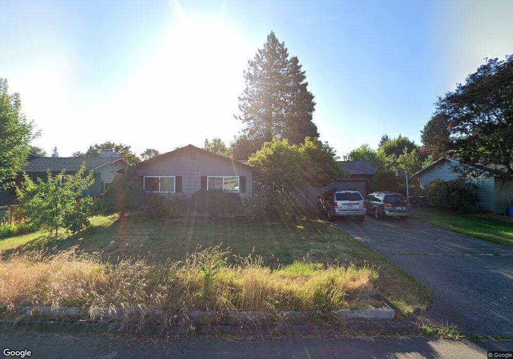
476 S 9th Ave Cornelius, OR 97113
Estimated Value: $462,000 - $510,000
4
Beds
2
Baths
1,640
Sq Ft
$292/Sq Ft
Est. Value
About This Home
This home is located at 476 S 9th Ave, Cornelius, OR 97113 and is currently estimated at $478,870, approximately $291 per square foot. 476 S 9th Ave is a home located in Washington County with nearby schools including Echo Shaw Elementary School, Neil Armstrong Middle School, and Tom McCall Upper Elementary School.
Ownership History
Date
Name
Owned For
Owner Type
Purchase Details
Closed on
Oct 19, 2020
Sold by
Bangs Sara Michelle and Brinkley Michael David
Bought by
Brinkley Michael David
Current Estimated Value
Home Financials for this Owner
Home Financials are based on the most recent Mortgage that was taken out on this home.
Original Mortgage
$203,062
Outstanding Balance
$180,284
Interest Rate
2.8%
Mortgage Type
VA
Estimated Equity
$298,586
Purchase Details
Closed on
Jun 20, 2014
Sold by
Vandervelden Clifford Joseph and Vandervelden Marianne T
Bought by
Bangs Sara Michelle and Brinkley Michael David
Home Financials for this Owner
Home Financials are based on the most recent Mortgage that was taken out on this home.
Original Mortgage
$21,234
Interest Rate
4.17%
Mortgage Type
New Conventional
Create a Home Valuation Report for This Property
The Home Valuation Report is an in-depth analysis detailing your home's value as well as a comparison with similar homes in the area
Home Values in the Area
Average Home Value in this Area
Purchase History
| Date | Buyer | Sale Price | Title Company |
|---|---|---|---|
| Brinkley Michael David | -- | None Available | |
| Bangs Sara Michelle | $209,950 | Fidelity National Title Co |
Source: Public Records
Mortgage History
| Date | Status | Borrower | Loan Amount |
|---|---|---|---|
| Open | Brinkley Michael David | $203,062 | |
| Closed | Bangs Sara Michelle | $21,234 |
Source: Public Records
Tax History Compared to Growth
Tax History
| Year | Tax Paid | Tax Assessment Tax Assessment Total Assessment is a certain percentage of the fair market value that is determined by local assessors to be the total taxable value of land and additions on the property. | Land | Improvement |
|---|---|---|---|---|
| 2025 | $3,630 | $202,870 | -- | -- |
| 2024 | $3,316 | $196,970 | -- | -- |
| 2023 | $3,316 | $191,240 | $0 | $0 |
| 2022 | $2,938 | $191,240 | $0 | $0 |
| 2021 | $2,903 | $180,270 | $0 | $0 |
| 2020 | $2,892 | $175,020 | $0 | $0 |
| 2019 | $2,829 | $169,930 | $0 | $0 |
| 2018 | $2,742 | $164,990 | $0 | $0 |
| 2017 | $2,657 | $160,190 | $0 | $0 |
| 2016 | $2,582 | $155,530 | $0 | $0 |
| 2015 | $2,430 | $151,000 | $0 | $0 |
| 2014 | $2,346 | $146,610 | $0 | $0 |
Source: Public Records
Map
Nearby Homes
- 449 S 12th Ave
- 1126 S Jasper St
- 1341 S Beech St
- 385 S Cherry Dr
- 1214 S 11th Place
- 738 N Adair St Unit 6
- 630 S 2nd Ct
- 1015 S Nectarine St
- 1005 S Nectarine St
- 1599 S Alpine St
- 285 N 7th Ave
- 1701 S Alpine St
- 979 S Oleander St
- 406 N 9th Ct
- 1251 N Davis St
- 1686 N Barlow St
- 328 N 15th Ave
- 1631 N Clark St
- 440 N 14th Ave
- 4403 Wagon Wheel Cir