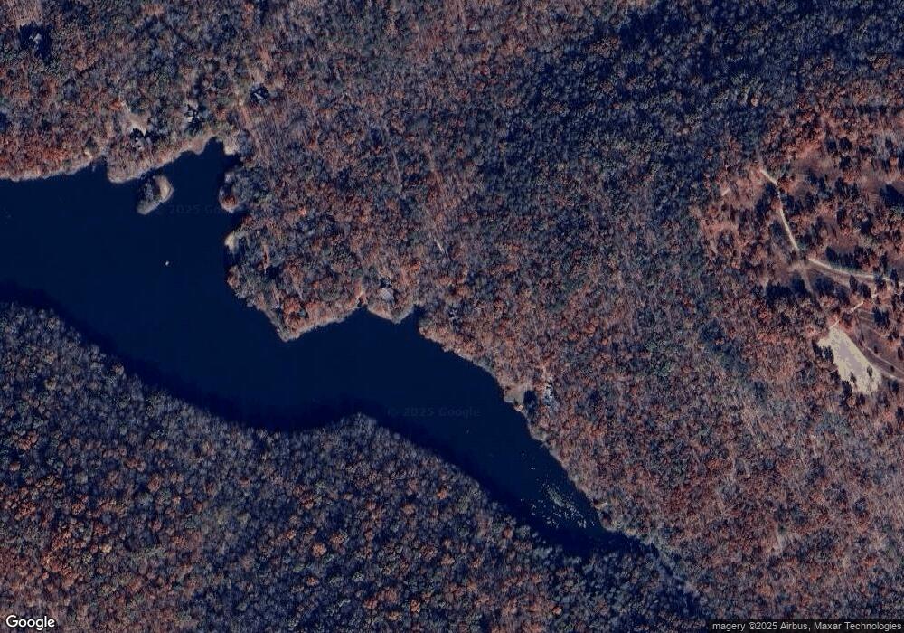
476 Walker Branch Rd Dunlap, TN 37327
Cagle-Fredonia NeighborhoodEstimated Value: $575,000 - $812,000
--
Bed
2
Baths
2,004
Sq Ft
$353/Sq Ft
Est. Value
About This Home
This home is located at 476 Walker Branch Rd, Dunlap, TN 37327 and is currently estimated at $706,556, approximately $352 per square foot. 476 Walker Branch Rd is a home located in Sequatchie County with nearby schools including Griffith Elementary School, Sequatchie County Middle School, and Sequatchie County High School.
Ownership History
Date
Name
Owned For
Owner Type
Purchase Details
Closed on
Jun 17, 2008
Sold by
Mcdonald William C
Bought by
Mcdonald William C
Current Estimated Value
Purchase Details
Closed on
Apr 26, 1996
Sold by
Coca & Cola Bottling Company
Bought by
William Mcdonald
Purchase Details
Closed on
May 1, 1995
Bought by
Coca-Cola Bottling Company % Mr Elbert Mullis
Purchase Details
Closed on
Jun 21, 1990
Bought by
Coca-Cola Bottling Company Of Northwest Georg
Create a Home Valuation Report for This Property
The Home Valuation Report is an in-depth analysis detailing your home's value as well as a comparison with similar homes in the area
Home Values in the Area
Average Home Value in this Area
Purchase History
| Date | Buyer | Sale Price | Title Company |
|---|---|---|---|
| Mcdonald William C | -- | -- | |
| Mcdonald William C | -- | -- | |
| William Mcdonald | $92,000 | -- | |
| Coca-Cola Bottling Company % Mr Elbert Mullis | $81,700 | -- | |
| Coca-Cola Bottling Company Of Northwest Georg | $70,500 | -- |
Source: Public Records
Tax History Compared to Growth
Tax History
| Year | Tax Paid | Tax Assessment Tax Assessment Total Assessment is a certain percentage of the fair market value that is determined by local assessors to be the total taxable value of land and additions on the property. | Land | Improvement |
|---|---|---|---|---|
| 2024 | $2,418 | $131,650 | $53,750 | $77,900 |
| 2023 | $2,418 | $131,650 | $53,750 | $77,900 |
| 2022 | $2,115 | $86,600 | $44,650 | $41,950 |
| 2021 | $2,115 | $86,600 | $44,650 | $41,950 |
| 2020 | $2,115 | $86,600 | $44,650 | $41,950 |
| 2019 | $2,115 | $86,600 | $44,650 | $41,950 |
| 2018 | $2,115 | $86,600 | $44,650 | $41,950 |
| 2017 | $2,115 | $86,600 | $44,650 | $41,950 |
| 2016 | $2,085 | $81,175 | $44,650 | $36,525 |
| 2015 | $2,085 | $81,175 | $44,650 | $36,525 |
| 2014 | $2,085 | $81,175 | $44,650 | $36,525 |
Source: Public Records
Map
Nearby Homes
- 24 Cypress Ln
- 83 Cypress Ln
- 00 Walker Branch Rd
- 413 Cane Creek Rd
- 378 Cane Creek Rd
- 0 Sullivan Rd Unit 1513004
- 000 Sullivan Rd
- 235 Quail Ln
- 216 Roe Dr
- 65 Deerhead Rd
- 264 Stocker Rd
- Oo Owl Hollow Rd
- 00 Owl Hollow Rd
- 0 Doe Cir Unit RTC2803168
- 0 Doe Cir Unit 1508932
- 10 Tennessee 399
- 9 Tennessee 399
- 0 Fawn Cir Unit RTC3000346
- 0 Fawn Cir Unit 1520949
- LOT 19 Skyline Dr
- 41 Cypress Ln Unit 4
- 41 Cypress Ln
- 41 Sprouse Hill Rd Unit 4
- 536 Walker Branch Rd
- 83 Cypress Ln Unit 5
- 432 Walker Branch Rd
- 316 Walker Branch Rd
- 29 Beech Grove Rd
- 316 Walker Rd
- 37 Beech Grove Rd
- 196 Walker Branch Rd
- 218 Hemlock Ln
- 428 Walker Branch Rd
- 112 Beech Grove Rd
- 171 Hemlock Dr
- 70 Walker Branch Rd
- 70 Walker Branch Rd Unit 17
- 33 Cane Creek Rd
- 35 Cane Creek Rd
- 351 Cane Creek Rd
