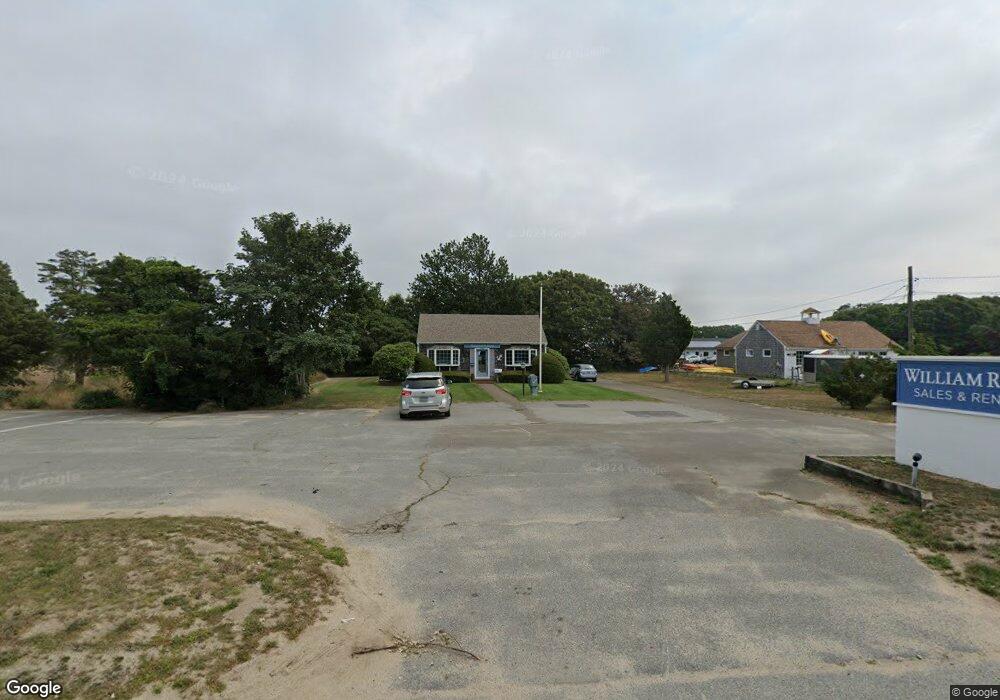
4760 State Hwy Eastham, MA 2642
Estimated Value: $484,520
Studio
1
Bath
1,168
Sq Ft
$415/Sq Ft
Est. Value
About This Home
This home is located at 4760 State Hwy, Eastham, MA 2642 and is currently estimated at $484,520, approximately $414 per square foot. 4760 State Hwy is a home located in Barnstable County with nearby schools including Eastham Elementary School, Nauset Regional Middle School, and Nauset Regional High School.
Ownership History
Date
Name
Owned For
Owner Type
Purchase Details
Closed on
Jul 18, 2022
Sold by
Karlson Group Llc
Bought by
Blcr Holdings Llc
Current Estimated Value
Purchase Details
Closed on
Aug 25, 2003
Sold by
Goodrich Carl A and Goodrich Suzanne F
Bought by
Karlson Group Llc
Home Financials for this Owner
Home Financials are based on the most recent Mortgage that was taken out on this home.
Original Mortgage
$200,000
Interest Rate
5.52%
Mortgage Type
Commercial
Create a Home Valuation Report for This Property
The Home Valuation Report is an in-depth analysis detailing your home's value as well as a comparison with similar homes in the area
Home Values in the Area
Average Home Value in this Area
Purchase History
| Date | Buyer | Sale Price | Title Company |
|---|---|---|---|
| Blcr Holdings Llc | $425,000 | None Available | |
| Blcr Holdings Llc | $425,000 | None Available | |
| Karlson Group Llc | $350,000 | -- | |
| Karlson Group Llc | $350,000 | -- |
Source: Public Records
Mortgage History
| Date | Status | Borrower | Loan Amount |
|---|---|---|---|
| Previous Owner | Karlson Group Llc | $200,000 |
Source: Public Records
Tax History
| Year | Tax Paid | Tax Assessment Tax Assessment Total Assessment is a certain percentage of the fair market value that is determined by local assessors to be the total taxable value of land and additions on the property. | Land | Improvement |
|---|---|---|---|---|
| 2025 | $3,498 | $453,700 | $387,700 | $66,000 |
| 2024 | $3,103 | $442,700 | $376,400 | $66,300 |
| 2023 | $3,123 | $431,400 | $365,400 | $66,000 |
| 2022 | $3,399 | $396,200 | $326,100 | $70,100 |
| 2021 | $3,543 | $386,000 | $316,700 | $69,300 |
| 2020 | $3,457 | $396,400 | $323,200 | $73,200 |
| 2019 | $3,263 | $395,500 | $323,200 | $72,300 |
| 2018 | $3,210 | $384,400 | $313,700 | $70,700 |
| 2017 | $3,000 | $379,700 | $308,600 | $71,100 |
| 2016 | $2,807 | $377,300 | $306,600 | $70,700 |
| 2015 | $2,660 | $374,600 | $303,500 | $71,100 |
Source: Public Records
Map
Nearby Homes
- 20 Oak Rd
- 18 Jay Dee Ln
- 10 Bradford Ln
- 115 Wamsutta Rd
- 255 Massasoit Rd
- 5470 State Hwy
- 100 Gigi Ln
- 85 Huckleberry Ln
- 82 Old Orchard Rd
- 25 Forrest Ave
- 49 Village Ln
- 340 Salt Works Rd
- 300 School House Rd
- 46 Spring Brook Rd
- 315 Candlewood Dr
- 70 Deerfield Ln
- 600 Kingsbury Beach Rd
- 157 Brownell Rd
- 135 Nauset Light Beach Rd
- 245 Nauset Light Beach Rd
- 4725 State Hwy
- 4775 U S 6
- 4775 U S 6 Unit 1
- 4790 State Hwy
- 25 Kings Crossing
- 4765 State Hwy
- 4775 State Hwy
- 15 Kings Cross
- 4795 State Hwy
- 4680 State Hwy
- 4715 State Hwy
- 4730 State Hwy Unit B
- 4730 State Hwy Unit D
- 4730 State Hwy Unit A
- 4730 State Hwy Unit B
- 4730 State Hwy Unit C
- 4730 State Hwy
- 4730 State Hwy
- 15 Brittany's Way
- 15 Brittanys Way
Your Personal Tour Guide
Ask me questions while you tour the home.