4761 Mayfield Rd Cleveland, OH 44124
2
Beds
1
Bath
1,249
Sq Ft
0.39
Acres
About This Home
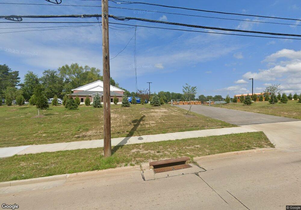
This home is located at 4761 Mayfield Rd, Cleveland, OH 44124. 4761 Mayfield Rd is a home located in Cuyahoga County with nearby schools including Greenview Upper Elementary School, Sunview Elementary School, and Memorial Junior High School.
Ownership History
Date
Name
Owned For
Owner Type
Purchase Details
Closed on
Jun 15, 2001
Sold by
Welsh Christopher
Bought by
Board Of Education Of The South Euclid L
Purchase Details
Closed on
May 7, 2001
Sold by
Welsh Mia
Bought by
Welsh Christopher
Purchase Details
Closed on
Mar 15, 1993
Sold by
Laska Robert J
Bought by
Welsh Christopher D
Purchase Details
Closed on
Jan 18, 1990
Sold by
Laska John
Bought by
Laska Robert J
Purchase Details
Closed on
Jun 11, 1986
Sold by
Laska John
Bought by
Laska John
Purchase Details
Closed on
Jun 5, 1979
Sold by
Laska John and Laska Edith
Bought by
Laska John
Purchase Details
Closed on
Jan 1, 1975
Bought by
Laska John and Laska Edith
Create a Home Valuation Report for This Property
The Home Valuation Report is an in-depth analysis detailing your home's value as well as a comparison with similar homes in the area
Home Values in the Area
Average Home Value in this Area
Purchase History
| Date | Buyer | Sale Price | Title Company |
|---|---|---|---|
| Board Of Education Of The South Euclid L | -- | Chicago Title Insurance Comp | |
| Welsh Christopher | -- | -- | |
| Welsh Christopher D | $73,500 | -- | |
| Laska Robert J | -- | -- | |
| Laska John | -- | -- | |
| Laska John | -- | -- | |
| Laska John | -- | -- |
Source: Public Records
Tax History Compared to Growth
Tax History
| Year | Tax Paid | Tax Assessment Tax Assessment Total Assessment is a certain percentage of the fair market value that is determined by local assessors to be the total taxable value of land and additions on the property. | Land | Improvement |
|---|---|---|---|---|
| 2024 | $495 | $33,810 | $33,810 | -- |
| 2022 | $369 | $33,810 | $33,810 | $0 |
| 2021 | $435 | $33,810 | $33,810 | $0 |
| 2020 | $435 | $33,810 | $33,810 | $0 |
| 2019 | $818 | $0 | $0 | $0 |
| 2018 | $818 | $33,810 | $33,810 | $0 |
| 2017 | $428 | $0 | $0 | $0 |
| 2016 | $1,201 | $7,910 | $7,910 | $0 |
| 2015 | $3,487 | $7,910 | $7,910 | $0 |
| 2014 | $3,487 | $31,540 | $7,910 | $23,630 |
Source: Public Records
Map
Nearby Homes
- 1512 Parkside Cir
- 4695 Mayfield Rd Unit A
- 4685 Mayfield Rd Unit F
- 4800 Farnhurst Rd
- 1503 Oakmount Rd
- 1271 Dorsh Rd
- 4650 Liberty Rd
- 4669 Liberty Rd
- 1333 Clearview Rd
- 5027 Bristol Ct
- 4493 Telhurst Rd
- 4866 Fairlawn Rd
- 5079 Haverford Dr
- 4781 Dorshwood Rd
- 1514 Garden Dr
- 5103 Eastover Rd
- 4769 Edenwood Rd
- 4482 Shirley Dr
- 1667 Richmond Rd
- 4410 Ardmore Rd
- 4763 Mayfield Rd
- 4759 Mayfield Rd
- 1457 1461 Dorsh Rd
- 1457 Dorsh Rd
- 1453 Dorsh Rd
- 1449 Dorsh Rd
- 1443 Dorsh Rd
- 1439 Dorsh Rd
- 4781 Brookwood Dr
- 1427 Dorsh Rd
- 1421 Dorsh Rd
- 4705 Mayfield Rd Unit 4705A
- 4705 Mayfield Rd
- 4705 Mayfield Rd Unit 4705B
- 4705 Mayfield Rd Unit F
- 4705 Mayfield Rd Unit 4705C
- 4705 Mayfield Rd Unit C
- 4705 Mayfield Rd Unit D
- 4705 Mayfield Rd Unit E
- 4695 Mayfield Rd Unit 4695F