4763 Hammond Rd Hastings, MI 49058
Estimated Value: $308,000 - $1,928,000
2
Beds
3
Baths
1,496
Sq Ft
$714/Sq Ft
Est. Value
About This Home
This home is located at 4763 Hammond Rd, Hastings, MI 49058 and is currently estimated at $1,067,588, approximately $713 per square foot. 4763 Hammond Rd is a home located in Barry County with nearby schools including Hastings High School.
Ownership History
Date
Name
Owned For
Owner Type
Purchase Details
Closed on
Oct 9, 2019
Sold by
Kelly Phylls A and Kelly Michael A
Bought by
Kelly Phyllis A
Current Estimated Value
Purchase Details
Closed on
Jul 15, 2011
Sold by
Kelly Michael A and Kelly Phyllis A
Bought by
Pickard Michael and Pickard Jeanette
Home Financials for this Owner
Home Financials are based on the most recent Mortgage that was taken out on this home.
Original Mortgage
$89,150
Outstanding Balance
$34,707
Interest Rate
4.52%
Mortgage Type
Future Advance Clause Open End Mortgage
Estimated Equity
$1,032,881
Create a Home Valuation Report for This Property
The Home Valuation Report is an in-depth analysis detailing your home's value as well as a comparison with similar homes in the area
Home Values in the Area
Average Home Value in this Area
Purchase History
| Date | Buyer | Sale Price | Title Company |
|---|---|---|---|
| Kelly Phyllis A | -- | Michigan Land Title | |
| Pickard Michael | $70,880 | Lighthouse Title Inc |
Source: Public Records
Mortgage History
| Date | Status | Borrower | Loan Amount |
|---|---|---|---|
| Open | Pickard Michael | $89,150 |
Source: Public Records
Tax History Compared to Growth
Tax History
| Year | Tax Paid | Tax Assessment Tax Assessment Total Assessment is a certain percentage of the fair market value that is determined by local assessors to be the total taxable value of land and additions on the property. | Land | Improvement |
|---|---|---|---|---|
| 2025 | $5,238 | $213,500 | $0 | $0 |
| 2024 | $5,238 | $196,900 | $0 | $0 |
| 2023 | $2,185 | $146,400 | $0 | $0 |
| 2022 | $2,185 | $146,400 | $0 | $0 |
| 2021 | $2,160 | $133,700 | $0 | $0 |
| 2020 | $2,214 | $128,600 | $0 | $0 |
| 2019 | $2,143 | $119,100 | $0 | $0 |
| 2018 | $2,147 | $110,600 | $27,900 | $82,700 |
| 2017 | $2,147 | $110,600 | $0 | $0 |
| 2016 | -- | $108,400 | $0 | $0 |
| 2015 | -- | $99,900 | $0 | $0 |
| 2014 | -- | $99,900 | $0 | $0 |
Source: Public Records
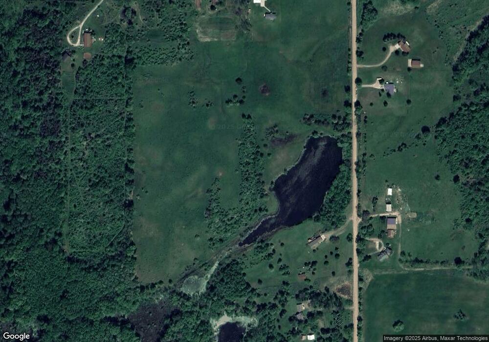
Map
Nearby Homes
- 3350 Fighter Rd
- 3541 Doctor Dr
- 3845 Wood School Rd
- 3192 W Sisson Rd
- Parcel 1 Leaf Ln
- Parcel 2 Leaf Ln
- Parcel 10 Leaf Ln
- Parcel 9 Leaf Ln
- 3490 Wood School Rd
- Parcel 8 Leaf Ln
- 6371 Wood School Rd
- 5750 Wood School Rd
- 2396 N Broadway
- 3510 Parmalee Rd
- 296 Saint Johns St
- Lot 8 High Ridge Ct
- 320 Division St
- V/L Lot C Wildwood Dr
- V/L Lot B Wildwood Dr
- 2539 Daisy Ln
- 4591 Hammond Rd
- 4533 Hammond Rd
- 4864 Hammond Rd
- 4942 Hammond Rd
- 4442 Hammond Rd
- 1869 Jarman Rd
- 4411 Hammond Rd
- 2140 Jarman Rd
- 4430 Hammond Rd
- 2175 Jarman Rd
- 4320 Hammond Rd
- 2300 Jarman Rd
- 2149 Thunder Valley Dr
- 2149 Thunder Valley Dr Unit PAR A
- 0 Jarman Rd Unit 65016003585
- 0 Jarman Rd Unit 16003585
- 0 Jarman Rd Unit APP 2
- 4212 Hammond Rd
- 5150 Hammond Rd
- 2347 Jarman Rd