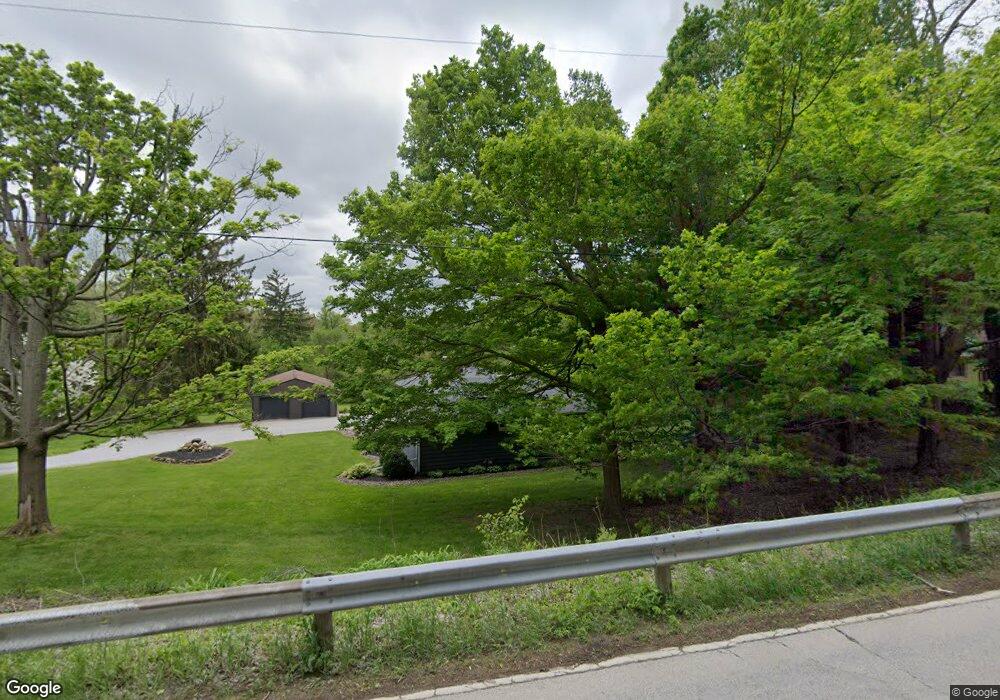
4766 Palisade Dr Madison, OH 44057
Estimated Value: $267,760 - $316,000
3
Beds
2
Baths
1,692
Sq Ft
$172/Sq Ft
Est. Value
About This Home
This home is located at 4766 Palisade Dr, Madison, OH 44057 and is currently estimated at $291,690, approximately $172 per square foot. 4766 Palisade Dr is a home located in Lake County with nearby schools including South Elementary School, Madison Middle School, and Madison High School.
Ownership History
Date
Name
Owned For
Owner Type
Purchase Details
Closed on
Aug 28, 2013
Sold by
Golding Timothy C and Golding Linda M
Bought by
Whitaker Christopher
Current Estimated Value
Home Financials for this Owner
Home Financials are based on the most recent Mortgage that was taken out on this home.
Original Mortgage
$160,550
Outstanding Balance
$118,002
Interest Rate
4.33%
Mortgage Type
Future Advance Clause Open End Mortgage
Estimated Equity
$173,688
Purchase Details
Closed on
Dec 1, 2004
Sold by
Getch Martin D and Getch Mary J
Bought by
Golding Timothy C and Golding Linda M
Home Financials for this Owner
Home Financials are based on the most recent Mortgage that was taken out on this home.
Original Mortgage
$160,000
Interest Rate
5.78%
Mortgage Type
Purchase Money Mortgage
Purchase Details
Closed on
Mar 19, 1980
Bought by
Getch Mary J
Create a Home Valuation Report for This Property
The Home Valuation Report is an in-depth analysis detailing your home's value as well as a comparison with similar homes in the area
Home Values in the Area
Average Home Value in this Area
Purchase History
| Date | Buyer | Sale Price | Title Company |
|---|---|---|---|
| Whitaker Christopher | $169,000 | Enterprise Title Agency Inc | |
| Golding Timothy C | $160,000 | Real Estate Title | |
| Getch Mary J | -- | -- |
Source: Public Records
Mortgage History
| Date | Status | Borrower | Loan Amount |
|---|---|---|---|
| Open | Whitaker Christopher | $160,550 | |
| Previous Owner | Golding Timothy C | $160,000 |
Source: Public Records
Tax History
| Year | Tax Paid | Tax Assessment Tax Assessment Total Assessment is a certain percentage of the fair market value that is determined by local assessors to be the total taxable value of land and additions on the property. | Land | Improvement |
|---|---|---|---|---|
| 2025 | -- | $84,630 | $36,690 | $47,940 |
| 2024 | -- | $84,630 | $36,690 | $47,940 |
| 2023 | $6,771 | $60,920 | $17,720 | $43,200 |
| 2022 | $3,743 | $60,920 | $17,720 | $43,200 |
| 2021 | $3,750 | $60,920 | $17,720 | $43,200 |
| 2020 | $3,662 | $52,510 | $15,270 | $37,240 |
| 2019 | $3,665 | $52,510 | $15,270 | $37,240 |
| 2018 | $3,478 | $49,150 | $10,610 | $38,540 |
| 2017 | $3,413 | $49,150 | $10,610 | $38,540 |
| 2016 | $3,097 | $49,150 | $10,610 | $38,540 |
| 2015 | $2,949 | $49,150 | $10,610 | $38,540 |
| 2014 | $3,015 | $49,150 | $10,610 | $38,540 |
| 2013 | $2,485 | $49,150 | $10,610 | $38,540 |
Source: Public Records
Map
Nearby Homes
- V/L Warner Rd
- 340 Parkway Blvd
- 321 Parkway Blvd
- 0 V L Appaloosa Trail
- 95 River St
- 6042 Ford Rd
- 5810 Dewey Rd
- 0 Bates Rd
- 5466 S Ridge Rd
- 123 Woodbine Oval Unit 24
- 5040 River Rd
- 16107 Moseley Rd
- 5004 River Rd
- 943 N Lake St
- 15594 Moseley Rd
- 4815 S Ridge Rd
- 4795 S Ridge Rd
- 3300 Townline Rd
- 7911 S Ridge Rd
- 4454 S Ridge Rd
- 6430 River Rd
- 6411 River Rd
- 6449 River Rd
- 6450 River Rd
- 6453 River Rd
- 4802 Palisade Dr
- 4799 Palisade Dr
- 6376 River Rd
- 4816 Palisade Dr
- 4828 Palisade Dr
- 4825 Palisade Dr
- 6350 River Rd
- 6405 Riverdale Dr
- 6397 Riverdale Dr
- 6507 River Rd
- 6419 Riverdale Dr
- 6387 Riverdale Dr
- 6365 Riverdale Dr
- 6336 River Rd
- 4850 Palisade Dr
Your Personal Tour Guide
Ask me questions while you tour the home.