4767 W Snowflake Dr Highland, UT 84003
Estimated Value: $1,064,000 - $1,584,000
4
Beds
4
Baths
3,536
Sq Ft
$395/Sq Ft
Est. Value
About This Home
This home is located at 4767 W Snowflake Dr, Highland, UT 84003 and is currently estimated at $1,395,002, approximately $394 per square foot. 4767 W Snowflake Dr is a home with nearby schools including Highland Elementary School, Timberline Middle School, and Lone Peak High School.
Ownership History
Date
Name
Owned For
Owner Type
Purchase Details
Closed on
May 4, 2020
Sold by
Robinson Jed Eyre
Bought by
Morasha Holdings Llc
Current Estimated Value
Purchase Details
Closed on
Apr 21, 2016
Sold by
Robinson Jed
Bought by
Robinson Jed Eyre
Home Financials for this Owner
Home Financials are based on the most recent Mortgage that was taken out on this home.
Original Mortgage
$417,000
Interest Rate
3.37%
Mortgage Type
Adjustable Rate Mortgage/ARM
Purchase Details
Closed on
Jul 22, 2015
Sold by
Pace Manor Llc
Bought by
Robinson Jed
Create a Home Valuation Report for This Property
The Home Valuation Report is an in-depth analysis detailing your home's value as well as a comparison with similar homes in the area
Home Values in the Area
Average Home Value in this Area
Purchase History
| Date | Buyer | Sale Price | Title Company |
|---|---|---|---|
| Morasha Holdings Llc | -- | None Available | |
| Robinson Jed Eyre | -- | Highland Title | |
| Robinson Jed | -- | Accommodation |
Source: Public Records
Mortgage History
| Date | Status | Borrower | Loan Amount |
|---|---|---|---|
| Previous Owner | Robinson Jed Eyre | $417,000 |
Source: Public Records
Tax History Compared to Growth
Tax History
| Year | Tax Paid | Tax Assessment Tax Assessment Total Assessment is a certain percentage of the fair market value that is determined by local assessors to be the total taxable value of land and additions on the property. | Land | Improvement |
|---|---|---|---|---|
| 2025 | $5,542 | $792,545 | $460,400 | $944,100 |
| 2024 | $5,542 | $684,570 | $0 | $0 |
| 2023 | $4,801 | $639,640 | $0 | $0 |
| 2022 | $4,455 | $1,013,400 | $417,800 | $595,600 |
| 2021 | $3,868 | $724,900 | $259,600 | $465,300 |
| 2020 | $3,656 | $673,100 | $225,700 | $447,400 |
| 2019 | $3,144 | $603,800 | $225,700 | $378,100 |
| 2018 | $3,228 | $588,800 | $210,700 | $378,100 |
| 2017 | $3,127 | $313,155 | $0 | $0 |
| 2016 | $2,414 | $225,970 | $0 | $0 |
Source: Public Records
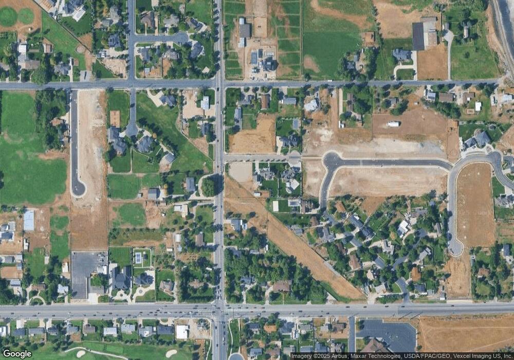
Map
Nearby Homes
- 5077 W 11000 N
- 10861 N Panorama Dr
- 5159 W 11000 N
- 682 Healey Blvd
- 909 Ridge Ln
- 5984 W 11200 N Unit 1
- 868 S Braddock Ln
- 4224 W Park Dr
- 629 S Pheasant Ridge Cir
- 10685 N Jerling Dr
- 10535 Janie Ln
- 10528 Aberdeen Ln
- 88 W Cascade Ave
- 5377 W Evergreen Way
- 11197 N Park Dr
- 10763 N Dosh Ln
- Villa A Plan at TEN700
- Villa D Plan at TEN700
- Cottonwood Villa Plan at TEN700
- Villa C Plan at TEN700
- 11152 N 4800 W
- 4739 W Snowflake Dr
- 11164 N 4800 W Unit 4
- 4770 W Snowflake Dr Unit 1
- 4742 W Snowflake Dr
- 11055 Manor Cir
- 11085 N Manor Dr
- 11088 N 4800 W
- 11180 N 4800 W
- 11071 N Manor Dr
- 11111 N 4800 W
- 4755 W 11200 N
- 11161 N 4800 W
- 4739 W 11200 N
- 11061 N Manor Dr
- 11061 Manor Dr
- 11192 N 4800 W
- 11093 N 4800 W
- 4717 W 11200 N
- 11078 N 4800 W