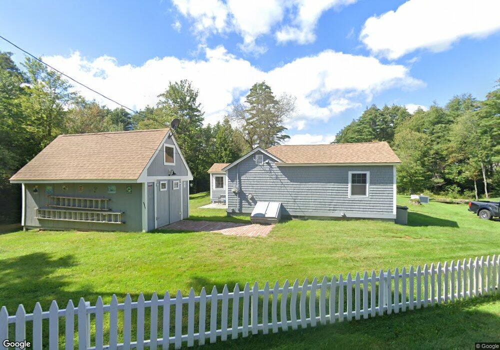
477 Dean Rd Grafton, NH 03240
Estimated Value: $202,000 - $270,000
1
Bed
1
Bath
804
Sq Ft
$289/Sq Ft
Est. Value
About This Home
This home is located at 477 Dean Rd, Grafton, NH 03240 and is currently estimated at $232,012, approximately $288 per square foot. 477 Dean Rd is a home with nearby schools including Canaan Elementary School, Indian River School, and Mascoma Valley Regional High School.
Ownership History
Date
Name
Owned For
Owner Type
Purchase Details
Closed on
May 31, 2006
Sold by
Sprickman Alice
Bought by
Day Robert H
Current Estimated Value
Home Financials for this Owner
Home Financials are based on the most recent Mortgage that was taken out on this home.
Original Mortgage
$85,665
Outstanding Balance
$28,480
Interest Rate
6.55%
Mortgage Type
Purchase Money Mortgage
Estimated Equity
$203,532
Create a Home Valuation Report for This Property
The Home Valuation Report is an in-depth analysis detailing your home's value as well as a comparison with similar homes in the area
Home Values in the Area
Average Home Value in this Area
Purchase History
| Date | Buyer | Sale Price | Title Company |
|---|---|---|---|
| Day Robert H | $85,000 | -- |
Source: Public Records
Mortgage History
| Date | Status | Borrower | Loan Amount |
|---|---|---|---|
| Open | Day Robert H | $85,665 |
Source: Public Records
Tax History Compared to Growth
Tax History
| Year | Tax Paid | Tax Assessment Tax Assessment Total Assessment is a certain percentage of the fair market value that is determined by local assessors to be the total taxable value of land and additions on the property. | Land | Improvement |
|---|---|---|---|---|
| 2024 | $3,608 | $117,900 | $62,000 | $55,900 |
| 2023 | $3,090 | $113,200 | $62,000 | $51,200 |
| 2022 | $3,000 | $113,200 | $62,000 | $51,200 |
| 2021 | $2,930 | $113,200 | $62,000 | $51,200 |
| 2020 | $3,039 | $113,200 | $62,000 | $51,200 |
| 2019 | $2,631 | $82,800 | $33,200 | $49,600 |
| 2018 | $2,381 | $82,700 | $33,200 | $49,500 |
| 2017 | $2,262 | $80,800 | $33,200 | $47,600 |
| 2016 | $2,112 | $80,800 | $33,200 | $47,600 |
| 2015 | $2,146 | $79,000 | $33,200 | $45,800 |
| 2014 | $2,304 | $101,100 | $37,900 | $63,200 |
| 2013 | $2,107 | $101,100 | $37,900 | $63,200 |
Source: Public Records
Map
Nearby Homes
- 0 Turnpike Rd Unit 1 5041145
- 150 Kinsman Hwy
- 11 Turnpike Rd
- 86 Wild Meadow Rd
- 309 Waukeena Lake Rd
- 66 Brookside Ln
- 165 Kilton Pond Rd
- 524 North Rd
- 0 Spruce Ln
- 122 Northwood Estates Dr
- 00 Riddle Hill Rd
- 21 Northwood Estates
- Map 406 Lot 169 U S 4
- 0 Tunnel Rd Unit 727 5024585
- 658 N Wilmot Rd
- lot 7 Eastern District Rd
- Lot91 Eastern District Rd
- 410-089-001 Eastern District Rd
- 410-090-009 Eastern District Rd
- 410-090-008 Eastern District Rd