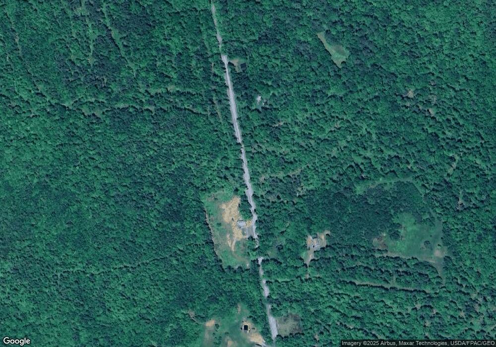
477 Dunbar Hill Rd Embden, ME 04958
Estimated Value: $209,073 - $269,000
--
Bed
--
Bath
696
Sq Ft
$337/Sq Ft
Est. Value
About This Home
This home is located at 477 Dunbar Hill Rd, Embden, ME 04958 and is currently estimated at $234,268, approximately $336 per square foot. 477 Dunbar Hill Rd is a home.
Ownership History
Date
Name
Owned For
Owner Type
Purchase Details
Closed on
Oct 18, 2023
Sold by
Ubele Brian D and Ubele Shauna A
Bought by
Ubele Shauna A
Current Estimated Value
Purchase Details
Closed on
Jan 19, 2018
Sold by
Abbott Lynette M and Beedy Chad E
Bought by
Ubele Shauna A and Ubele Brian D
Home Financials for this Owner
Home Financials are based on the most recent Mortgage that was taken out on this home.
Original Mortgage
$55,800
Interest Rate
3.94%
Mortgage Type
New Conventional
Create a Home Valuation Report for This Property
The Home Valuation Report is an in-depth analysis detailing your home's value as well as a comparison with similar homes in the area
Home Values in the Area
Average Home Value in this Area
Purchase History
| Date | Buyer | Sale Price | Title Company |
|---|---|---|---|
| Ubele Shauna A | -- | None Available | |
| Ubele Shauna A | -- | -- |
Source: Public Records
Mortgage History
| Date | Status | Borrower | Loan Amount |
|---|---|---|---|
| Previous Owner | Ubele Shauna A | $55,800 |
Source: Public Records
Tax History Compared to Growth
Tax History
| Year | Tax Paid | Tax Assessment Tax Assessment Total Assessment is a certain percentage of the fair market value that is determined by local assessors to be the total taxable value of land and additions on the property. | Land | Improvement |
|---|---|---|---|---|
| 2024 | $1,183 | $134,400 | $35,600 | $98,800 |
| 2023 | $1,039 | $88,700 | $26,200 | $62,500 |
| 2022 | $1,044 | $78,200 | $21,900 | $56,300 |
| 2021 | $986 | $68,000 | $19,000 | $49,000 |
| 2020 | $1,020 | $68,000 | $19,000 | $49,000 |
| 2019 | $1,003 | $68,000 | $19,000 | $49,000 |
| 2018 | $1,020 | $68,000 | $19,000 | $49,000 |
| 2017 | $942 | $68,500 | $19,000 | $49,500 |
| 2016 | $1,030 | $79,900 | $19,000 | $60,900 |
| 2015 | $1,045 | $80,600 | $19,000 | $61,600 |
| 2014 | $1,004 | $80,600 | $19,000 | $61,600 |
Source: Public Records
Map
Nearby Homes
- 48 E Shore Rd
- 121 E East Shore Rd
- 199 Bert Berry Rd
- 17 Savage Hill Rd
- 6 Locust Dr
- TBD Spruce Dr
- 14 Fall Dr
- 41 Boat Point Dr Unit 29
- 111 Pine Bluff Rd
- M7 L1-20 Off Pine Bluff Dr
- 146 Ferry St
- 1469 Kennebec River Rd
- 00 Fahi Pond Rd
- 85 Loon Rd
- Map SO081 Plan 05 Lot 10 1 Daniel Rd
- 12B York St Unit B
- 67 Pleasant St
- 047-025 Cardinal Dr
- 57 Cranberry Dr
- 327 Kennebec River Rd
- 388 Dunbar Hill Rd
- 469 Dunbar Hill Rd
- 443 Dunbar Hill Rd
- 444B Dunbar Hill Rd
- 509 Dunbar Hill Rd
- 414 Dunbar Hill Rd
- Lot 5 E Shore Rd
- 395 Dunbar Hill Rd
- 330 Dunbar Hill Rd
- 547 Dunbar Hill Rd
- 344 Dunbar Hill Rd
- 325 Dunbar Hill Rd
- 1108 E Shore Rd
- 1029 E Shore Dr
- 1098 E Shore Rd
- 1090 E Shore Rd
- 1100 E Shore Rd
- 17 Sunset Dr
- 1128 E Shore Rd
- 1036 E Shore Rd
