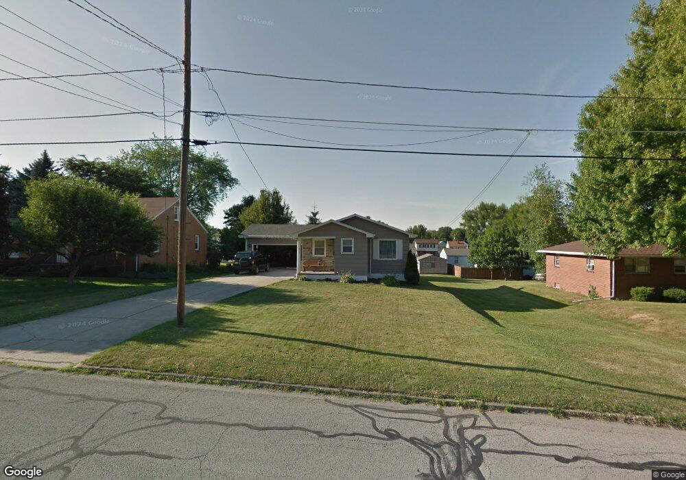
477 Edison St Struthers, OH 44471
Estimated Value: $147,881 - $164,000
3
Beds
1
Bath
976
Sq Ft
$161/Sq Ft
Est. Value
About This Home
This home is located at 477 Edison St, Struthers, OH 44471 and is currently estimated at $156,970, approximately $160 per square foot. 477 Edison St is a home located in Mahoning County with nearby schools including Struthers Elementary School, Struthers Middle School, and Struthers High School.
Ownership History
Date
Name
Owned For
Owner Type
Purchase Details
Closed on
Sep 2, 2022
Bought by
Tammy J Parish
Current Estimated Value
Purchase Details
Closed on
Jun 8, 2009
Sold by
Bott Mark A and Shaw Jaime
Bought by
Parish Tammy J
Home Financials for this Owner
Home Financials are based on the most recent Mortgage that was taken out on this home.
Original Mortgage
$53,000
Interest Rate
4.92%
Mortgage Type
New Conventional
Purchase Details
Closed on
Jul 3, 2006
Sold by
Lonardo Josephine
Bought by
Bott Mark A and Shaw Jaime
Home Financials for this Owner
Home Financials are based on the most recent Mortgage that was taken out on this home.
Original Mortgage
$67,000
Interest Rate
6.72%
Mortgage Type
Purchase Money Mortgage
Purchase Details
Closed on
Jul 18, 1989
Bought by
Lonardo John and Lonardo Josephine
Create a Home Valuation Report for This Property
The Home Valuation Report is an in-depth analysis detailing your home's value as well as a comparison with similar homes in the area
Home Values in the Area
Average Home Value in this Area
Purchase History
| Date | Buyer | Sale Price | Title Company |
|---|---|---|---|
| Tammy J Parish | -- | -- | |
| Parish Tammy J | $68,000 | Barristers Of Ohio | |
| Bott Mark A | $67,000 | None Available | |
| Lonardo John | $42,500 | -- |
Source: Public Records
Mortgage History
| Date | Status | Borrower | Loan Amount |
|---|---|---|---|
| Previous Owner | Parish Tammy J | $53,000 | |
| Previous Owner | Bott Mark A | $67,000 |
Source: Public Records
Tax History
| Year | Tax Paid | Tax Assessment Tax Assessment Total Assessment is a certain percentage of the fair market value that is determined by local assessors to be the total taxable value of land and additions on the property. | Land | Improvement |
|---|---|---|---|---|
| 2025 | $1,493 | $35,850 | $6,070 | $29,780 |
| 2024 | $1,493 | $35,850 | $6,070 | $29,780 |
| 2023 | $1,468 | $35,850 | $6,070 | $29,780 |
| 2022 | $1,189 | $21,990 | $2,500 | $19,490 |
| 2021 | $1,179 | $21,990 | $2,500 | $19,490 |
| 2020 | $1,184 | $21,990 | $2,500 | $19,490 |
| 2019 | $1,134 | $19,130 | $2,180 | $16,950 |
| 2018 | $1,083 | $19,130 | $2,180 | $16,950 |
| 2017 | $1,080 | $19,130 | $2,180 | $16,950 |
| 2016 | $1,124 | $20,390 | $2,540 | $17,850 |
| 2015 | $1,098 | $20,390 | $2,540 | $17,850 |
| 2014 | $1,102 | $20,390 | $2,540 | $17,850 |
| 2013 | $1,024 | $20,390 | $2,540 | $17,850 |
Source: Public Records
Map
Nearby Homes
- 587 Edison St
- 611 W Wilson St
- 453 W Omar St
- 795 5th St
- 457 Sexton St
- 612 Maplewood Ave
- 227 Wilson St
- 464 Elm St
- 610 Elm St
- 1933 Brandon Ave
- 2089 Shetland Ln
- 306 Maplewood Ave
- 1926 Brandon Ave
- 281 Sexton St
- 265 Sexton St
- 1928 Palo Verde Dr
- 1054 Runge Ave
- 537 7th St
- 1913 Country Club Ave
- 250 E Manor Ave
Your Personal Tour Guide
Ask me questions while you tour the home.